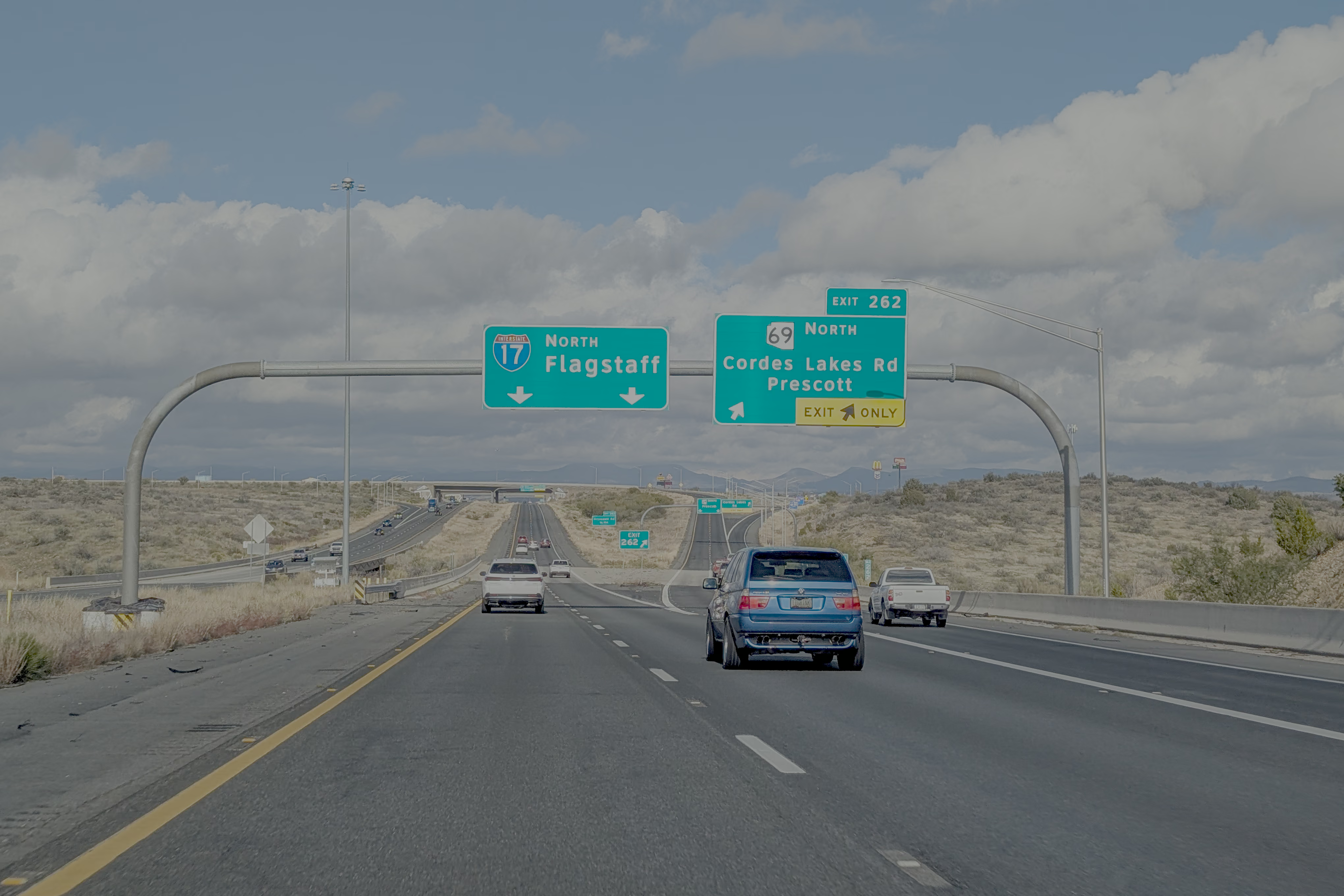
During the winter break, my friends and I completed a loop road trip through Arizona and New Mexico, starting from Phoenix. Our route primarily followed the I-10, I-17, I-40, and I-25 interstate highways. The journey took one week, covering a driving distance of approximately 1,870 miles (3,000 km).
Trip Preparation
Climate and Roads
Cities on the southern side of the loop (including Tucson, Phoenix, and Las Cruces) enjoy winter daytime temperatures consistently above 10°C (50°F). Flagstaff, Albuquerque, and the areas along I-40 are somewhat colder; temperatures can drop below freezing if a cold wave passes through. Almost all roads on the loop and within the attractions are paved, or are flattened dirt/sand roads (like at White Sands), so a standard sedan can easily handle the entire trip.
Day 1: Phoenix - Sedona
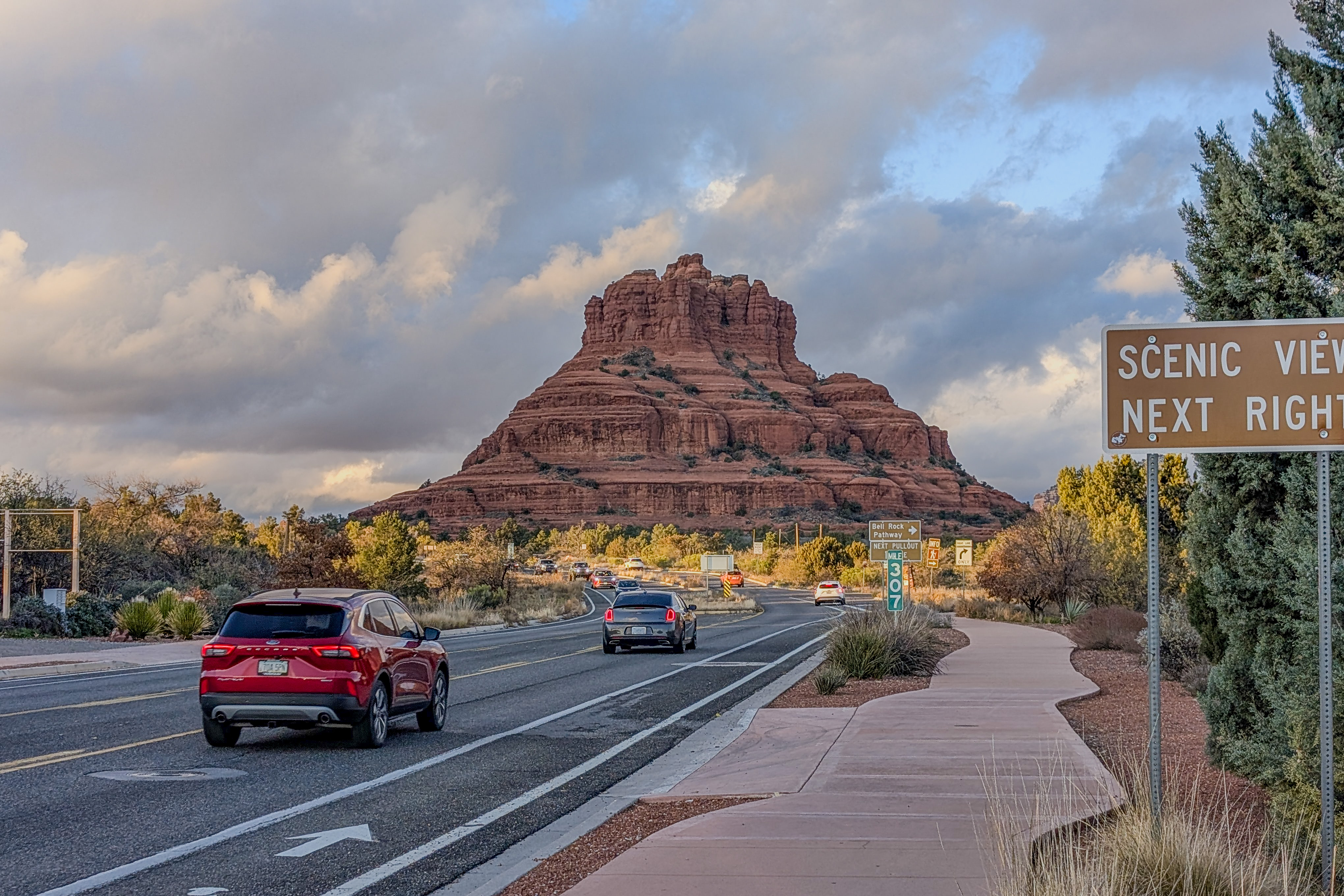
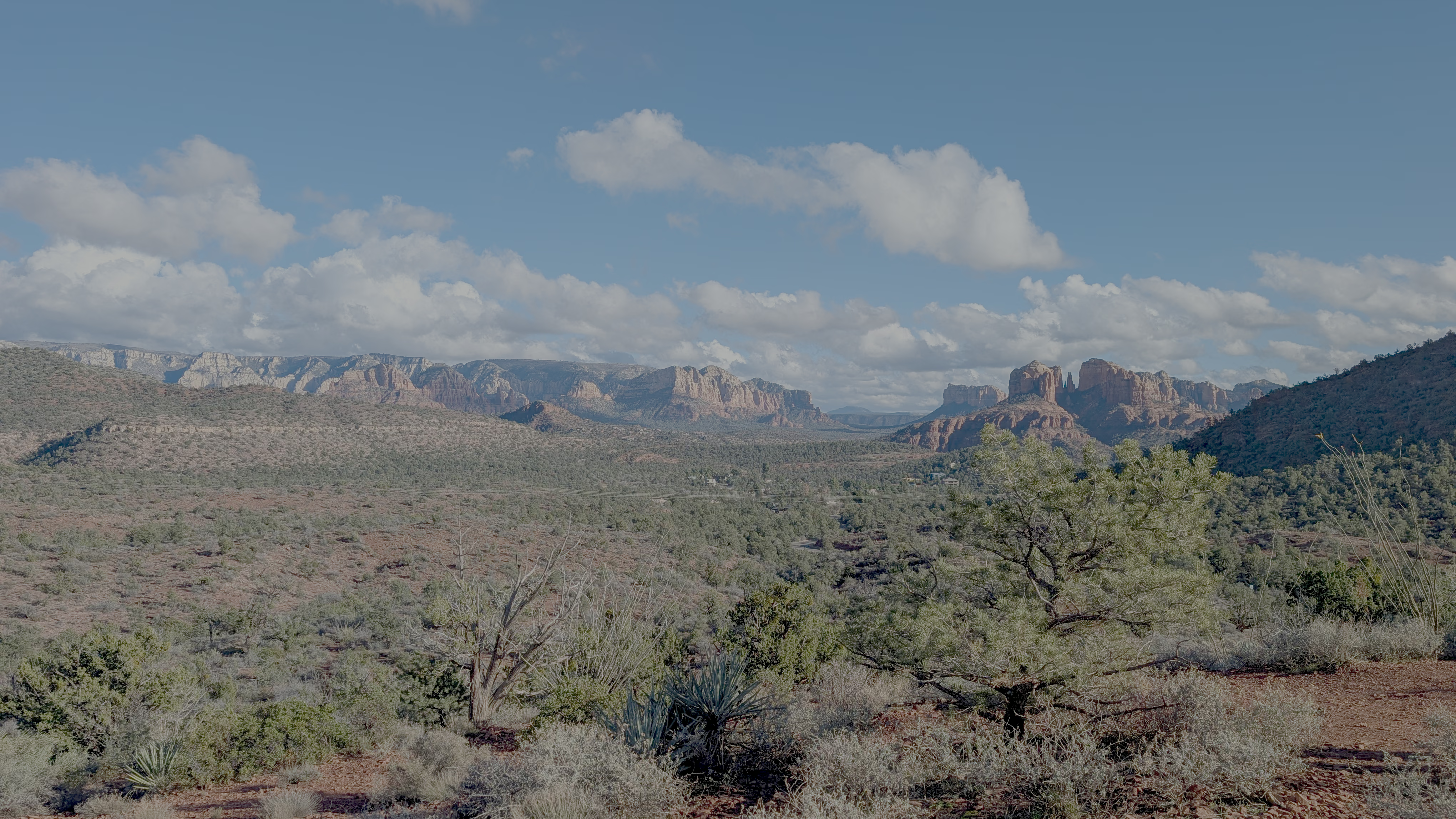
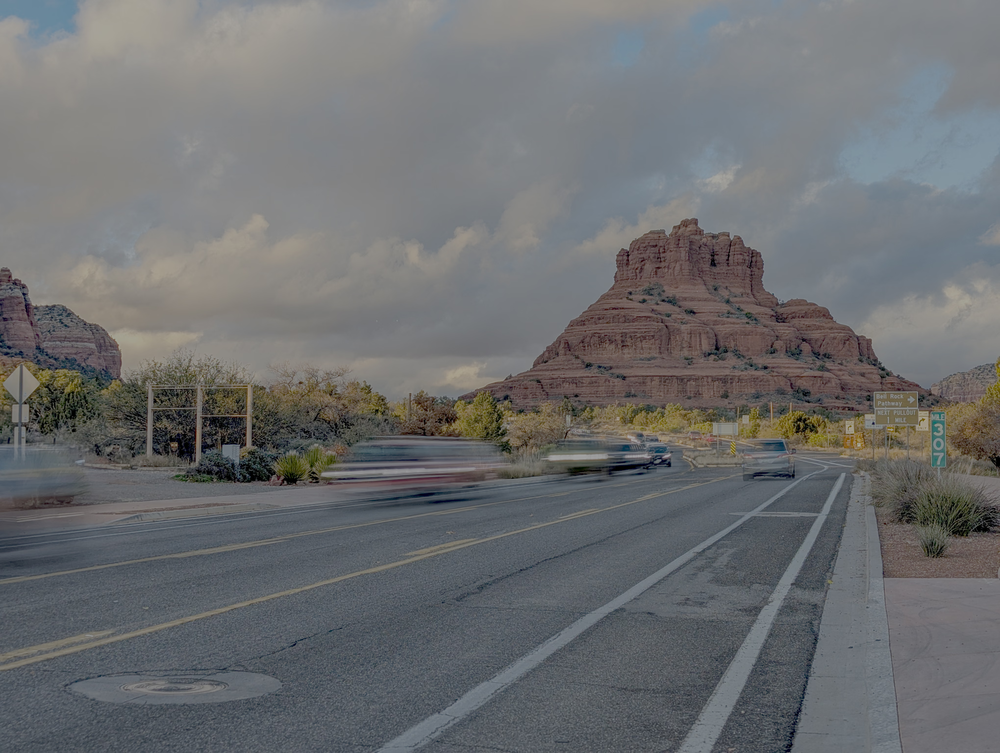
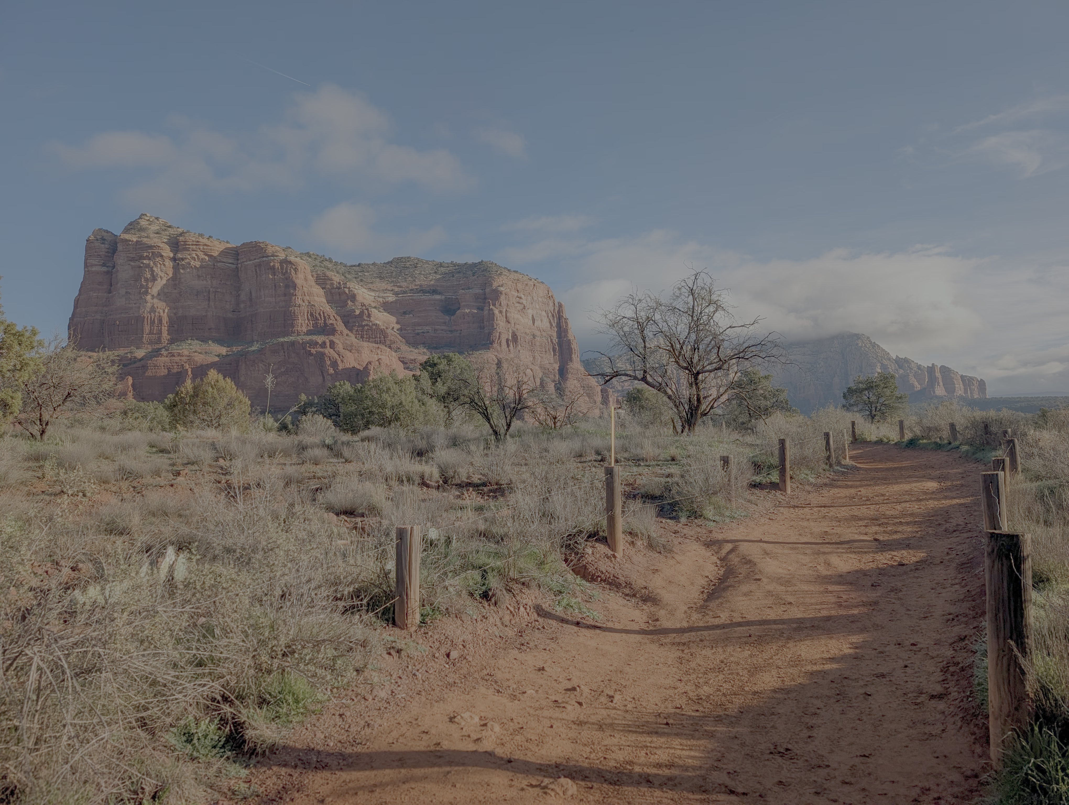
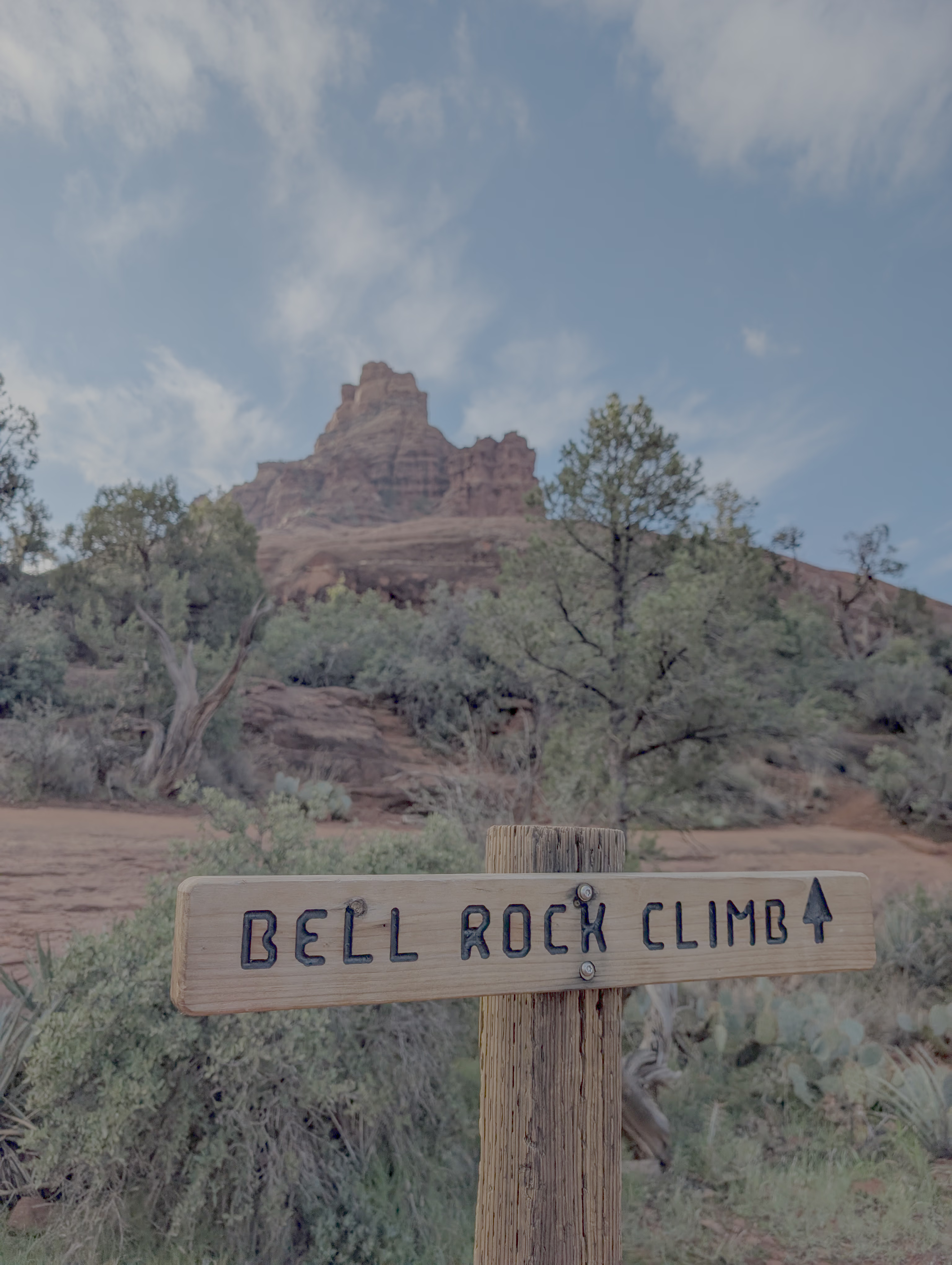
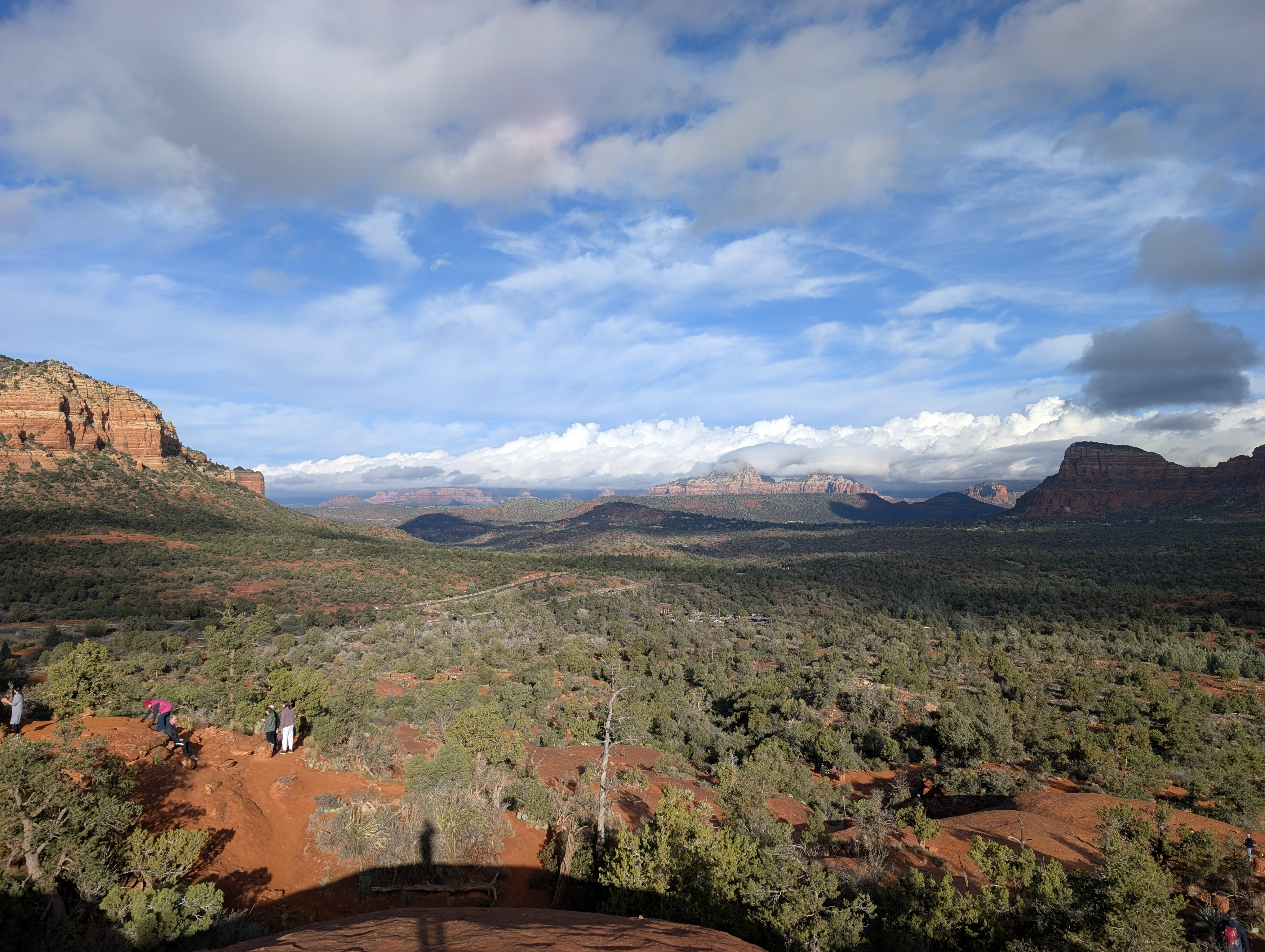
After leaving Phoenix, the elevation begins to rise gradually. It takes roughly 2-3 hours to reach downtown Sedona. Sedona is famous for its distinctively shaped red rocks, some of which are climbable. On the first day, we drove around Red Rock Loop Rd, passing by Cathedral Rock View (most people parking here were Asian, perhaps it was promoted on Xiaohongshu/Little Red Book?) and Lover’s Knoll (a higher vantage point offering a more complete view of Cathedral Rock). Afterward, we headed to Bell Rock for some light hiking.
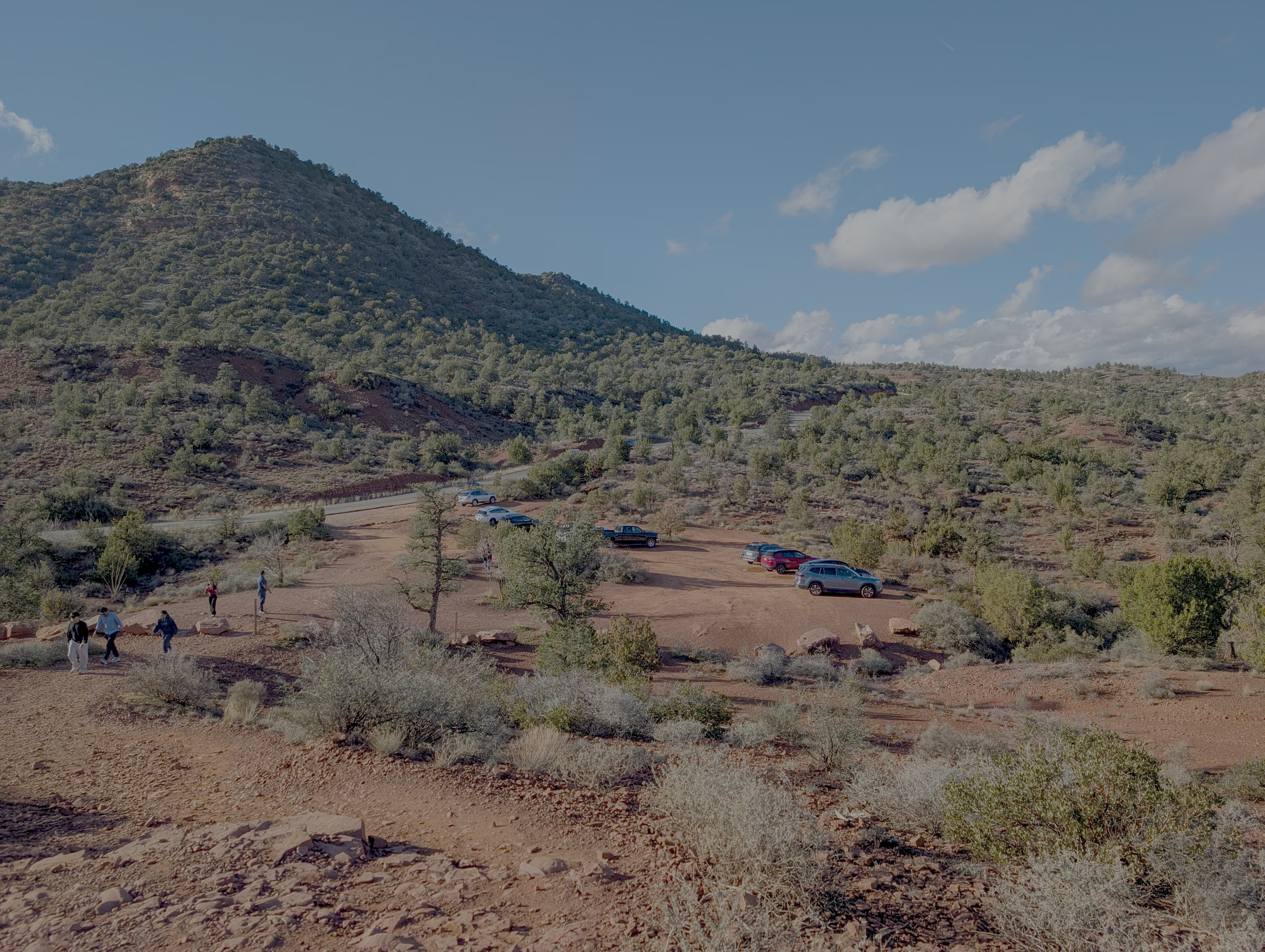
Bell Rock is one of the closest red rock formations to downtown Sedona. You can scramble up the rock after spending about half an hour walking to its northern side. Without climbing gear, you can make it about two-thirds of the way up.
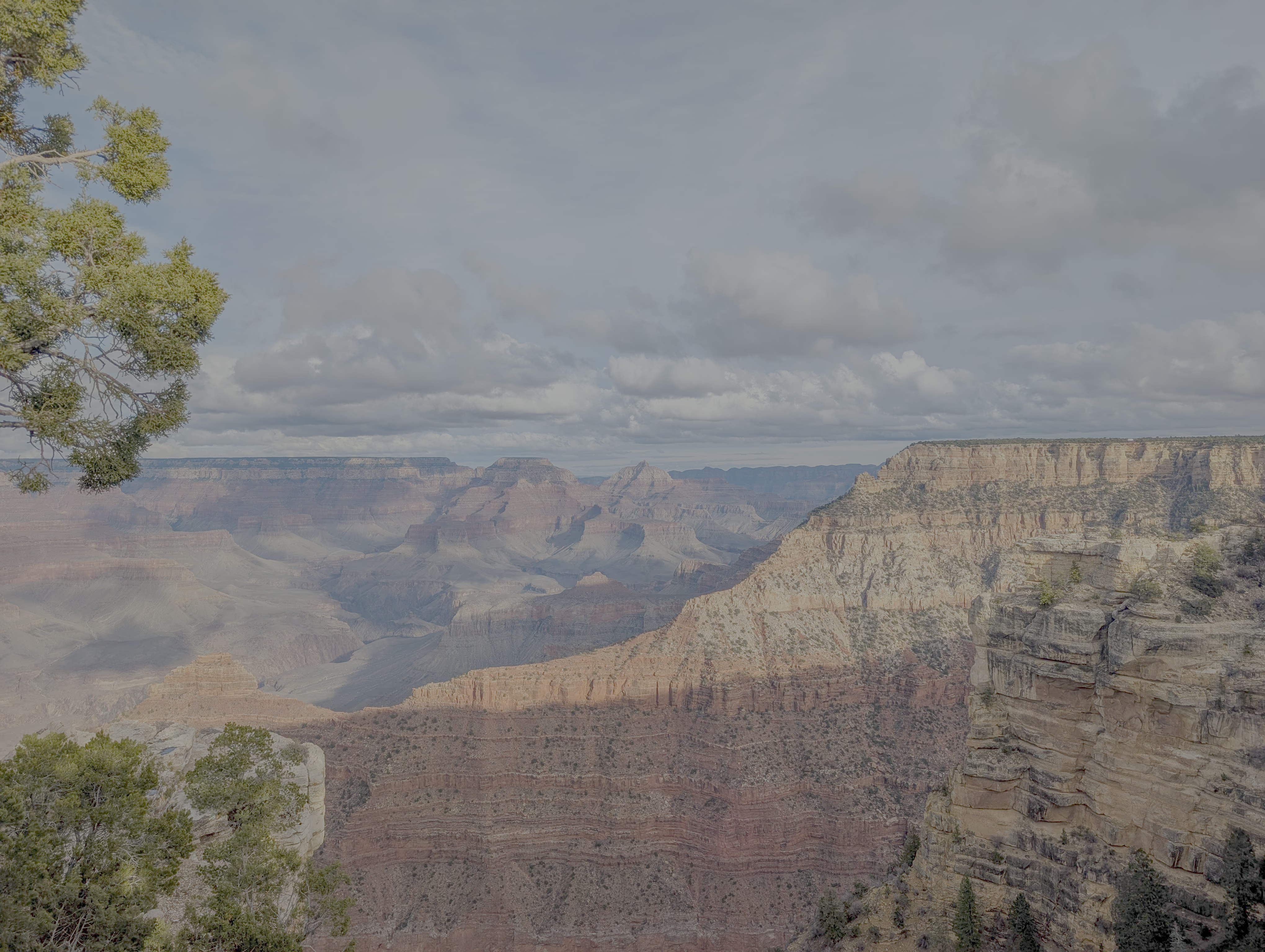
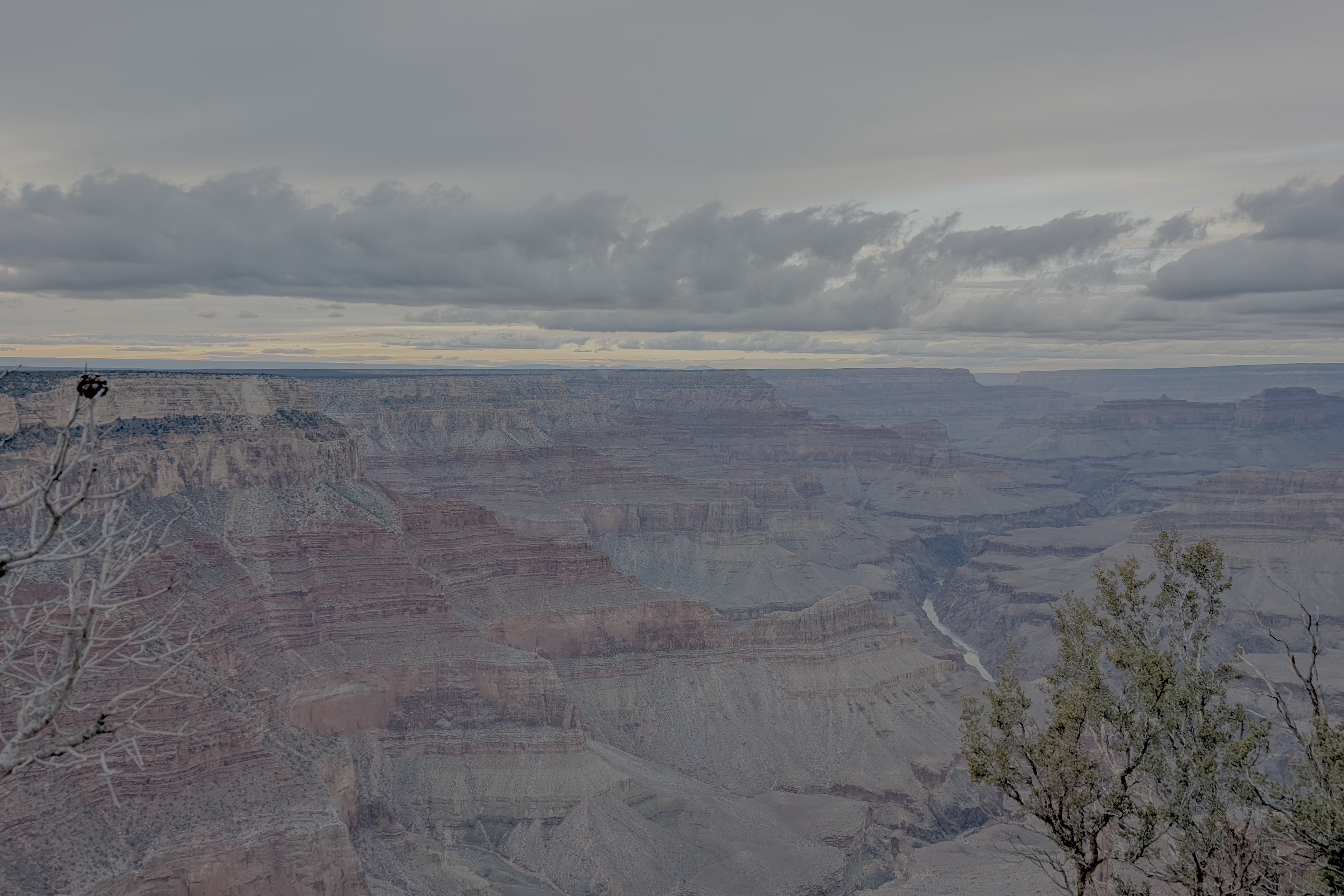
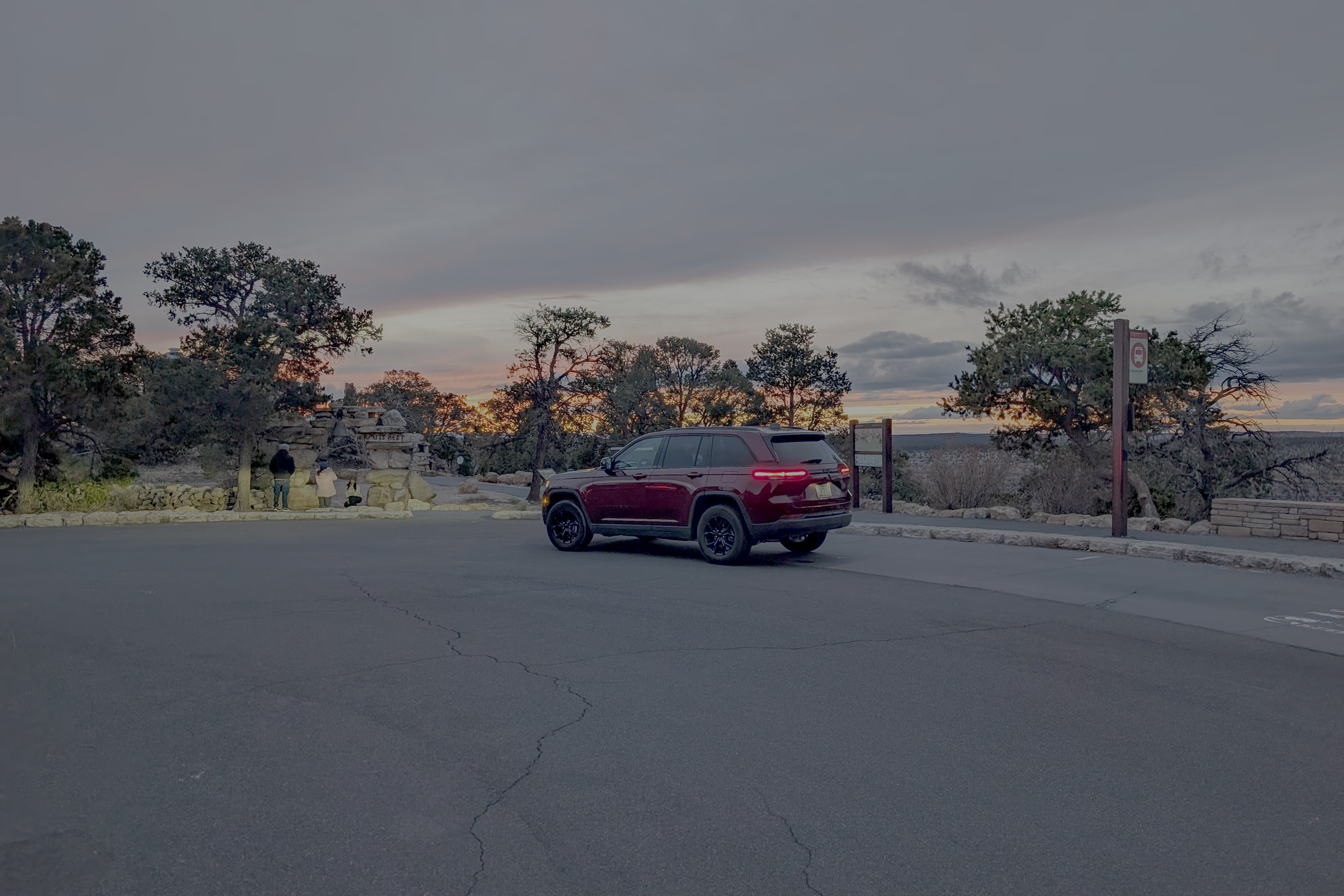
Day 2: Sedona, Grand Canyon
Leaving Sedona, we took I-40 and transferred to SR-64 to reach the South Rim of the Grand Canyon. One major perk of visiting in winter is that you can drive your private vehicle directly onto Hermit Road—which requires a shuttle bus during spring and summer. You can drive all the way to the end at Hermit’s Rest to enjoy the canyon sunset.
Since we hadn’t booked accommodation inside the Grand Canyon, we drove back to Flagstaff for the night, concluding the day’s itinerary.
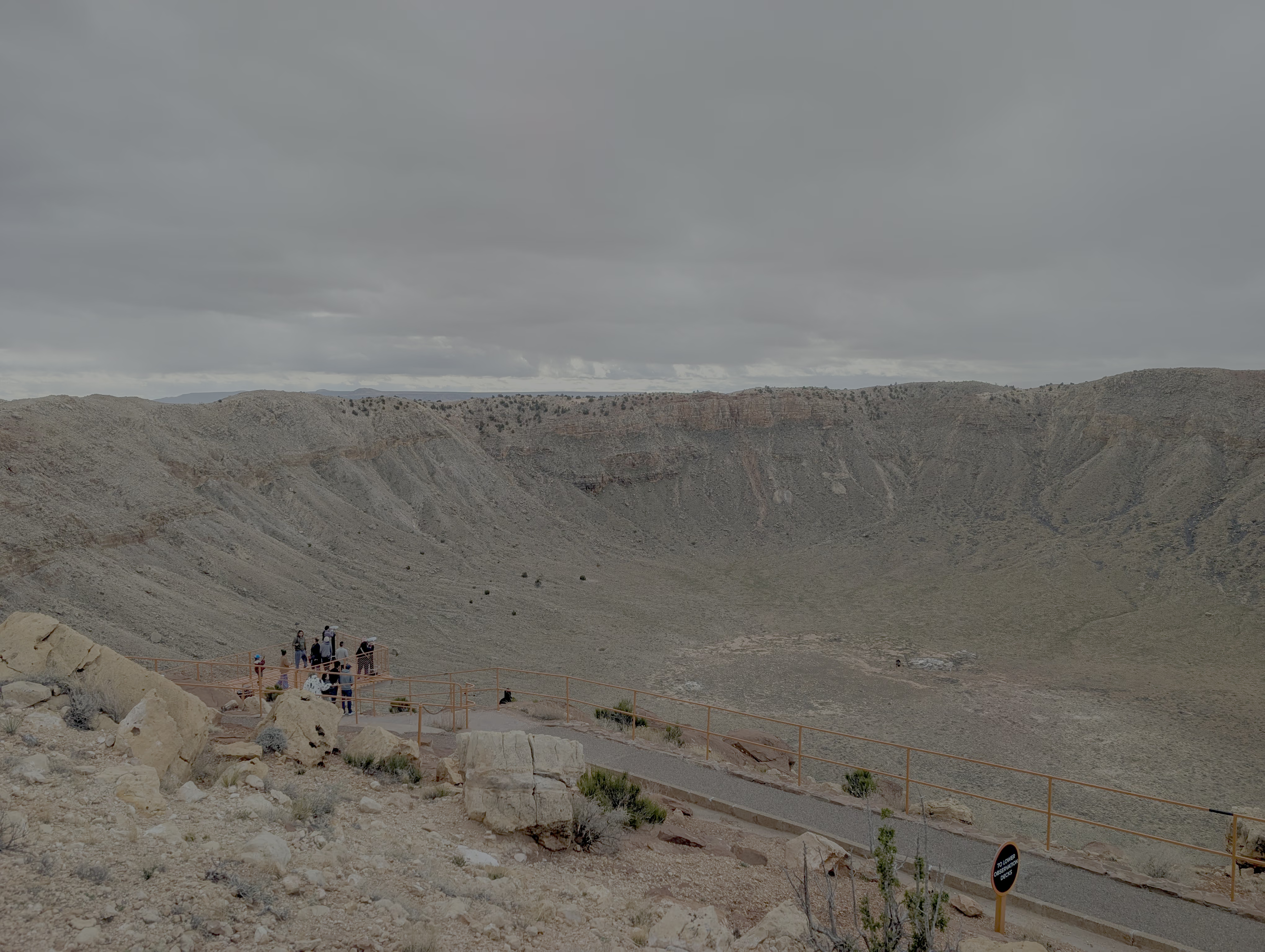
Day 3: Meteor Crater, Petrified Forest
The main agenda for the third day was driving east. Along the way, we stopped at Meteor Crater Natural Landmark and Petrified Forest National Park.
Meteor Crater Natural Landmark was formed by a meteorite impact 50,000 years ago. While the structure is very distinct from satellite imagery, seeing it on the ground just feels like looking at a massive pit. However, the structure looks like it would be perfect for a passive radio telescope similar to the FAST telescope.
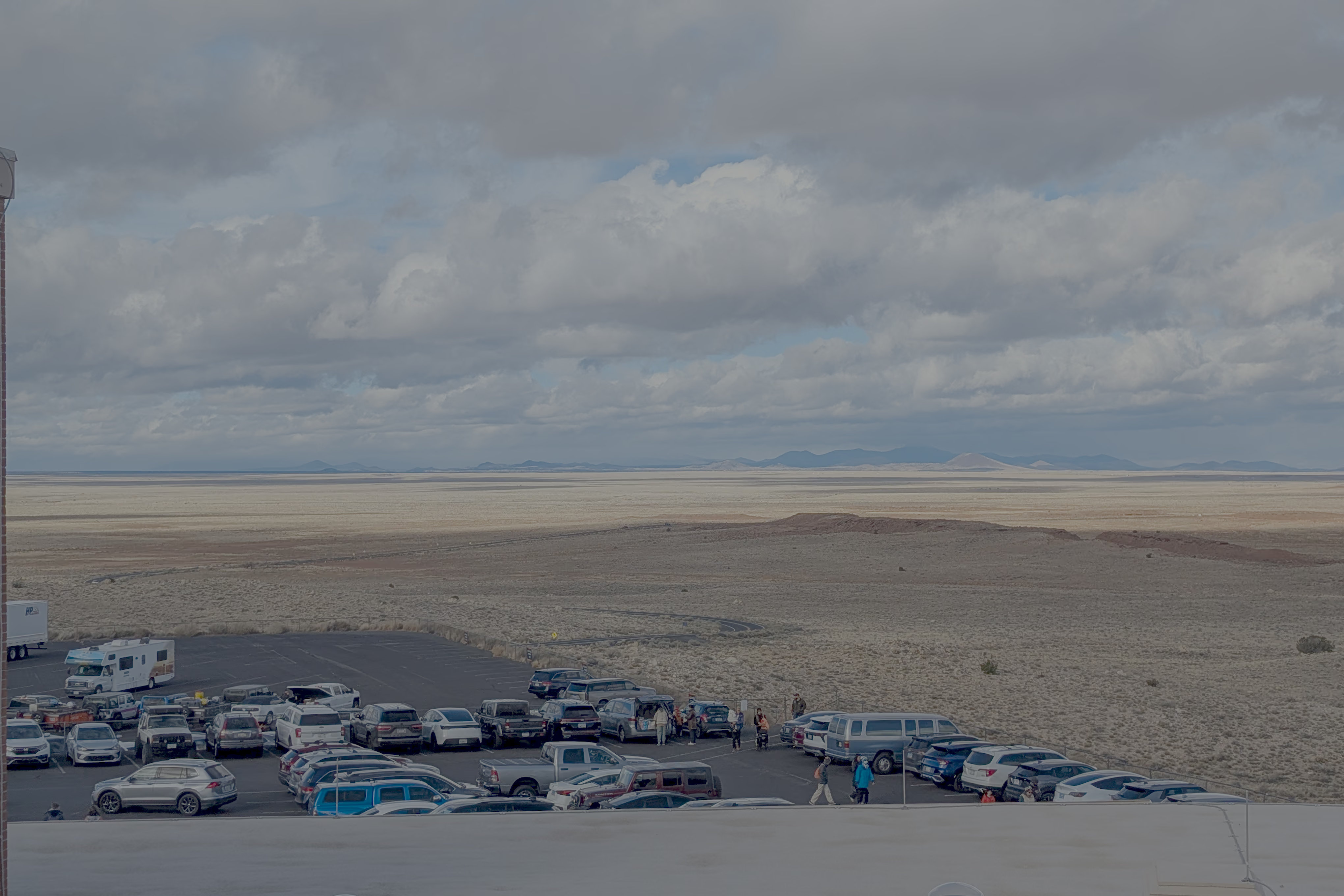
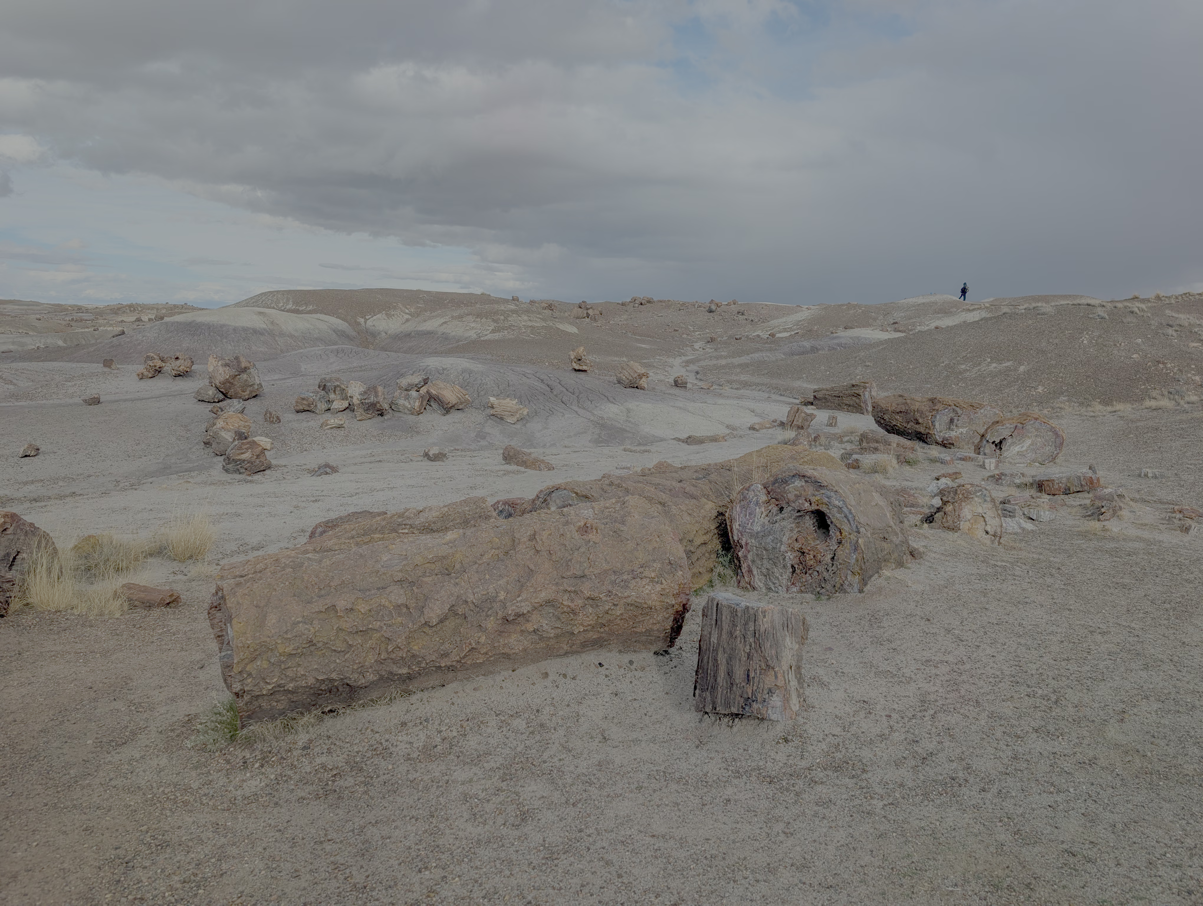
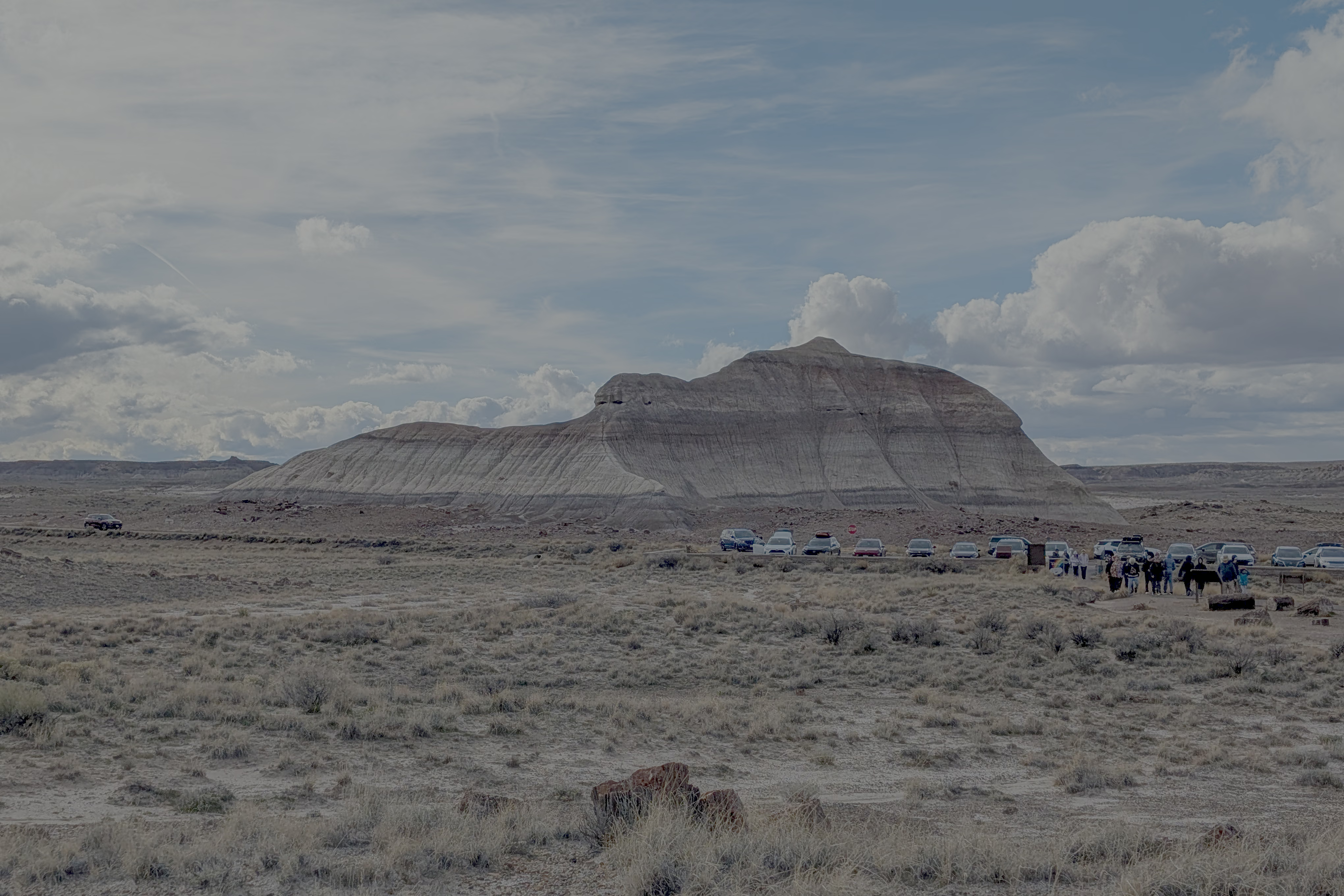
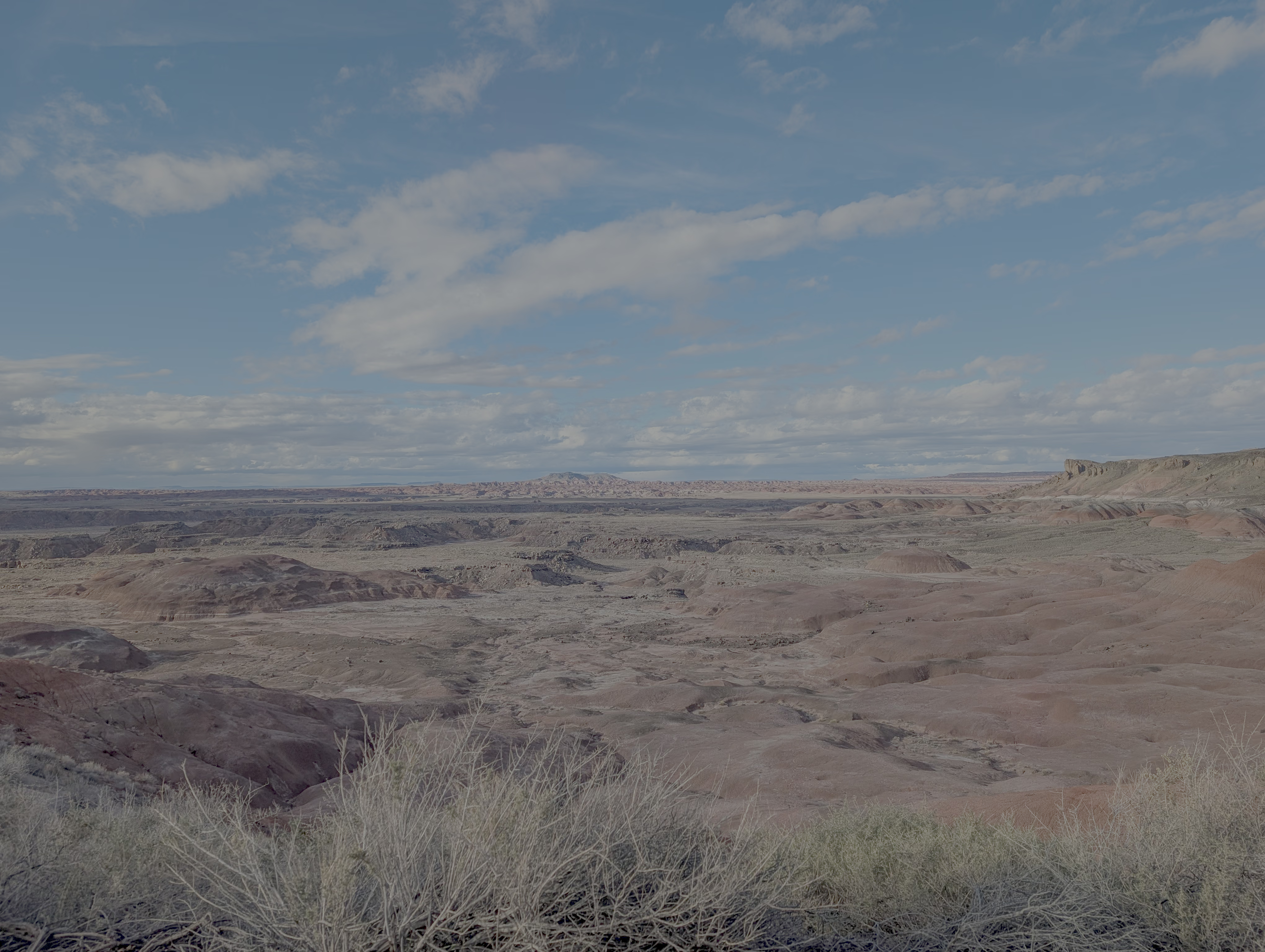
About an hour’s drive east from the crater brings you to Petrified Forest National Park. The main features here are the fossilized logs (petrified wood) and the Danxia-like landforms reminiscent of Zhangye, China.
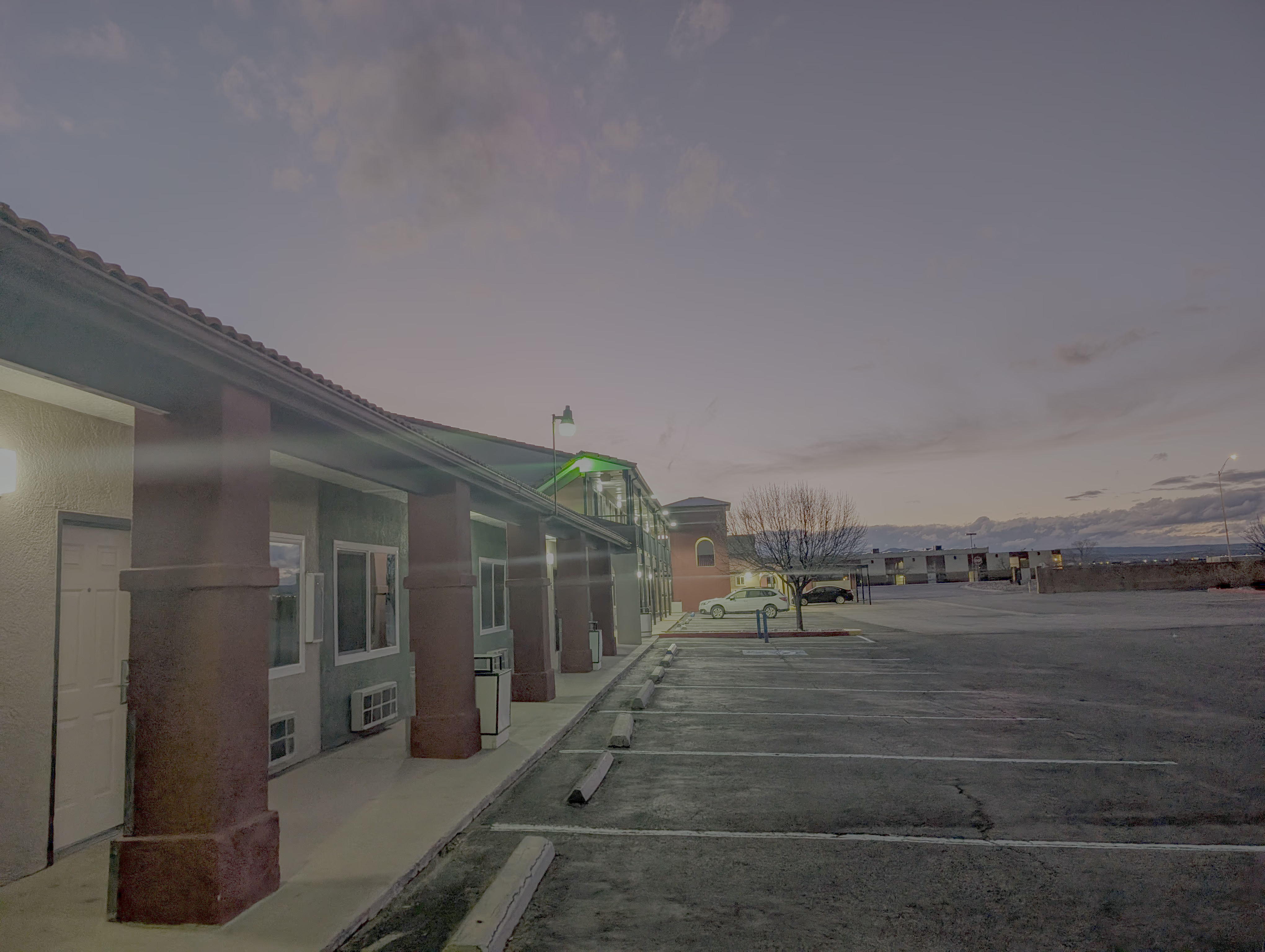
That night, we stayed in Grants, New Mexico. This small town feels like it exists primarily to serve travelers resting off I-40; the buildings along the highway are mostly motels and supermarkets like Walmart and Walgreens.
Day 4: Albuquerque
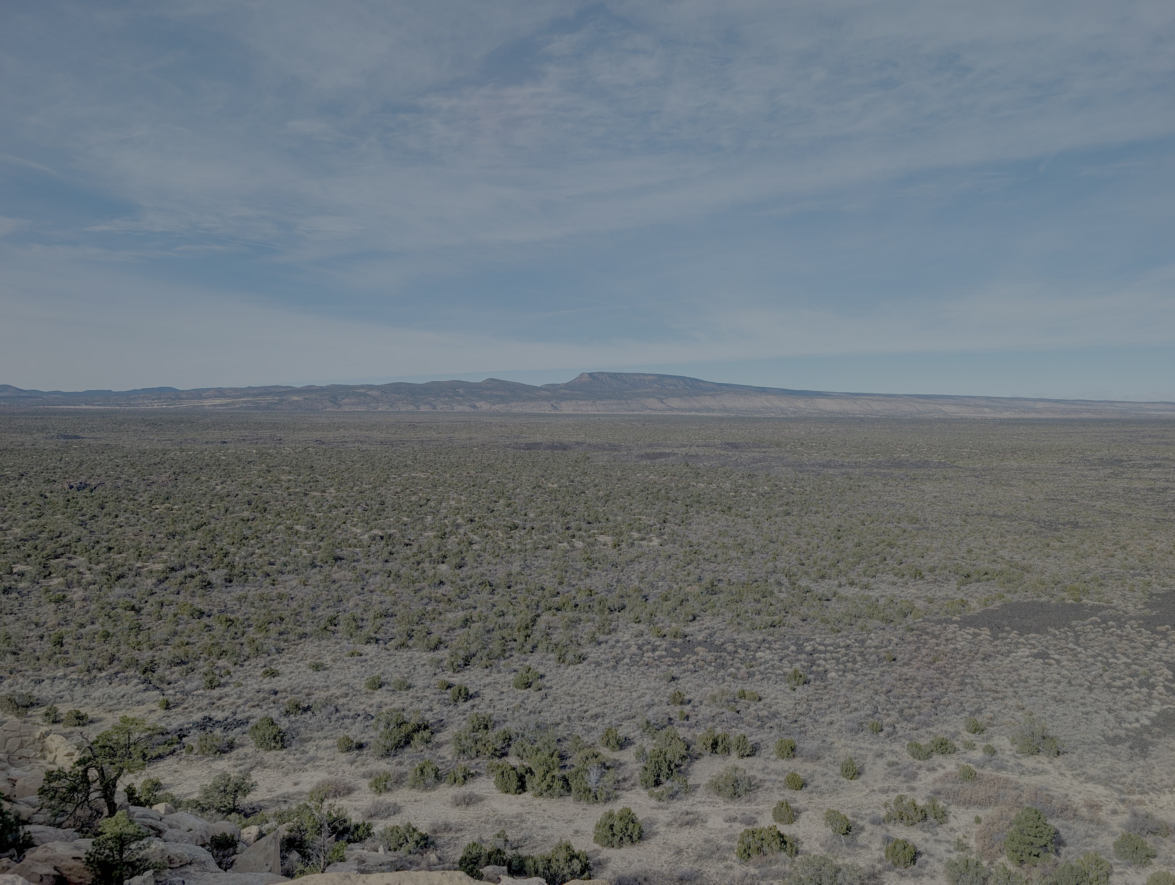
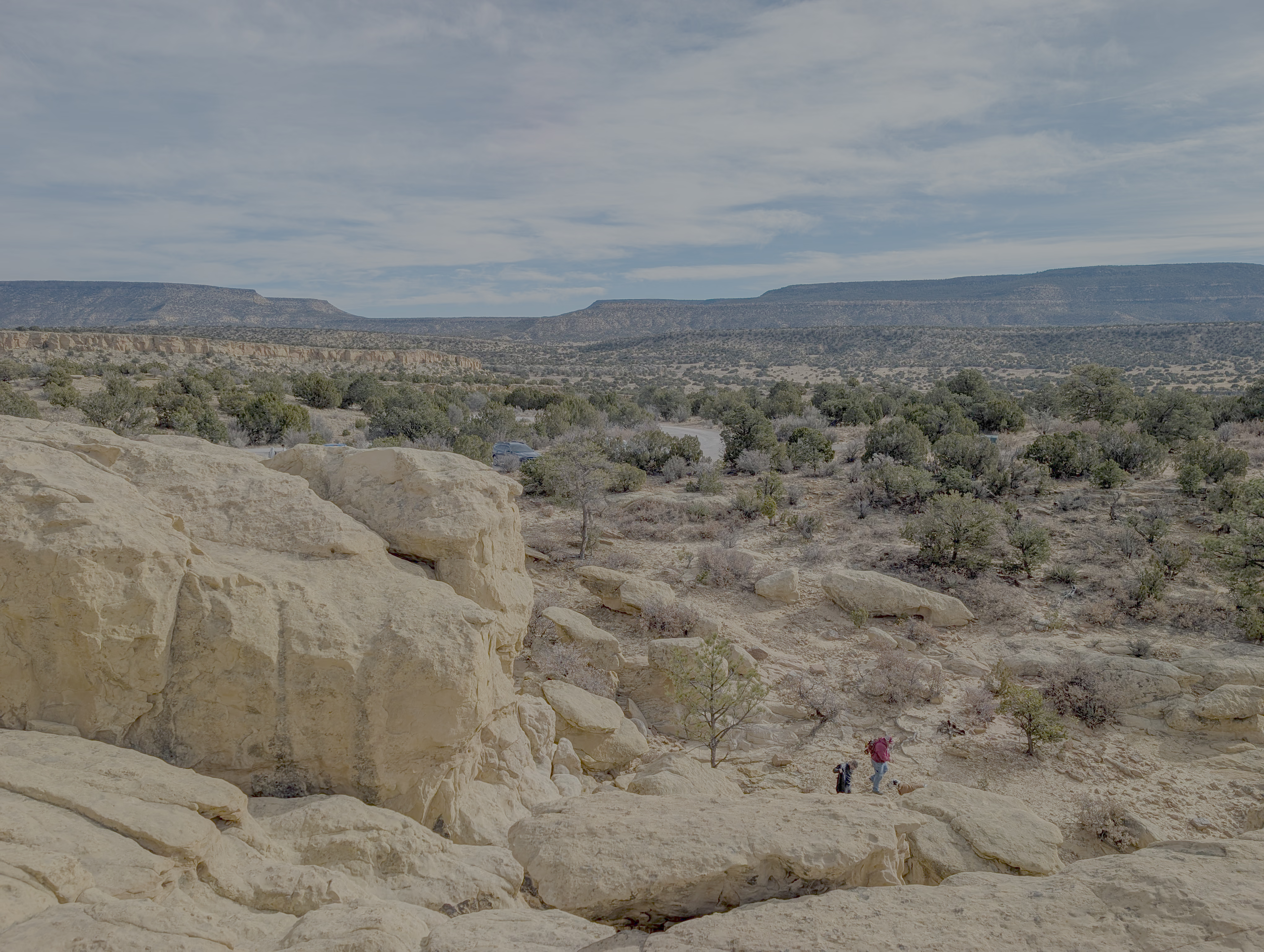
Driving south for about 20 minutes from Grants takes you to a viewpoint in El Malpais National Monument called Sandstone Bluffs. There is a sandstone ridge here you can climb for a view of the lava flows (solidified magma) below.
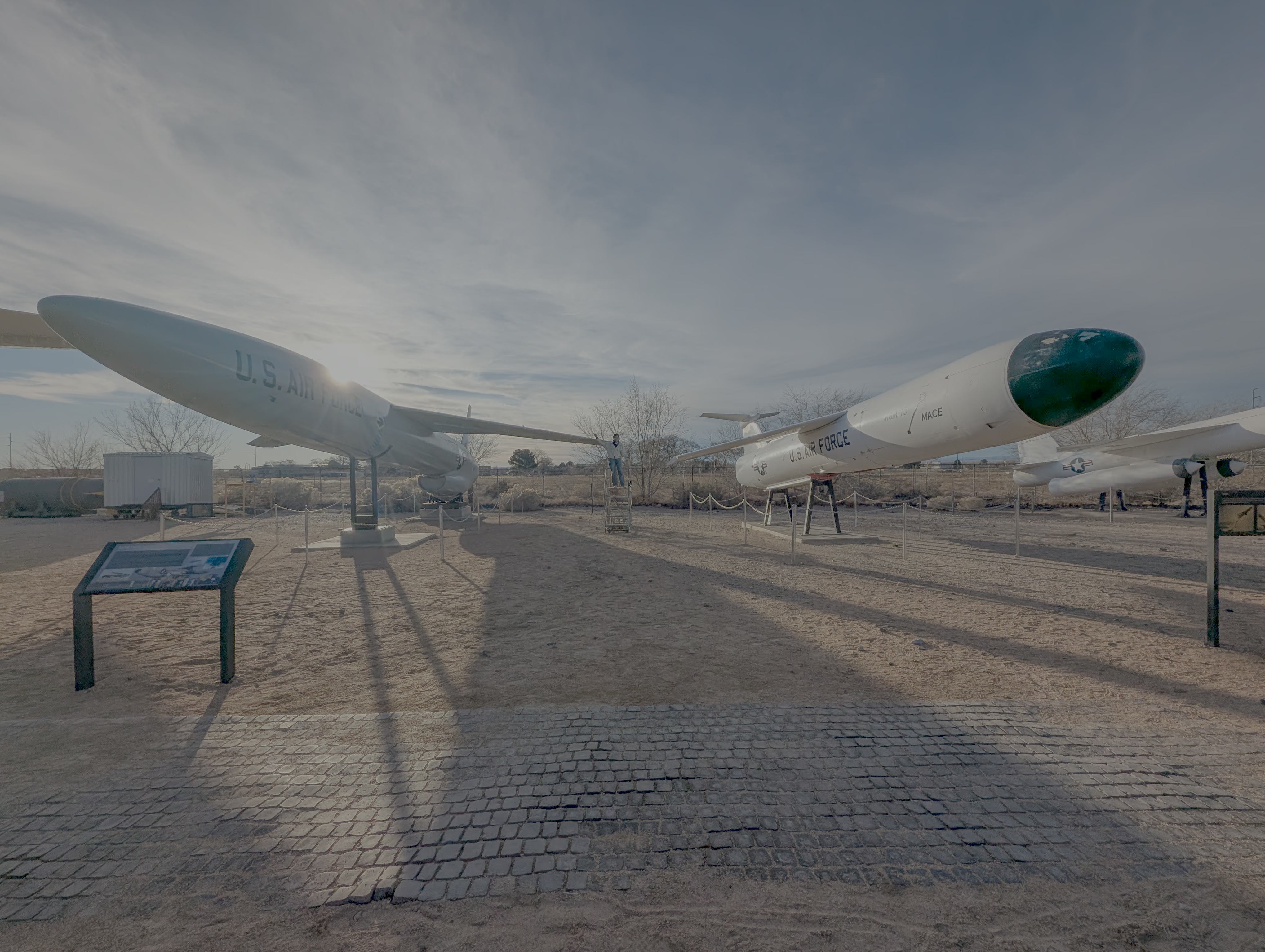
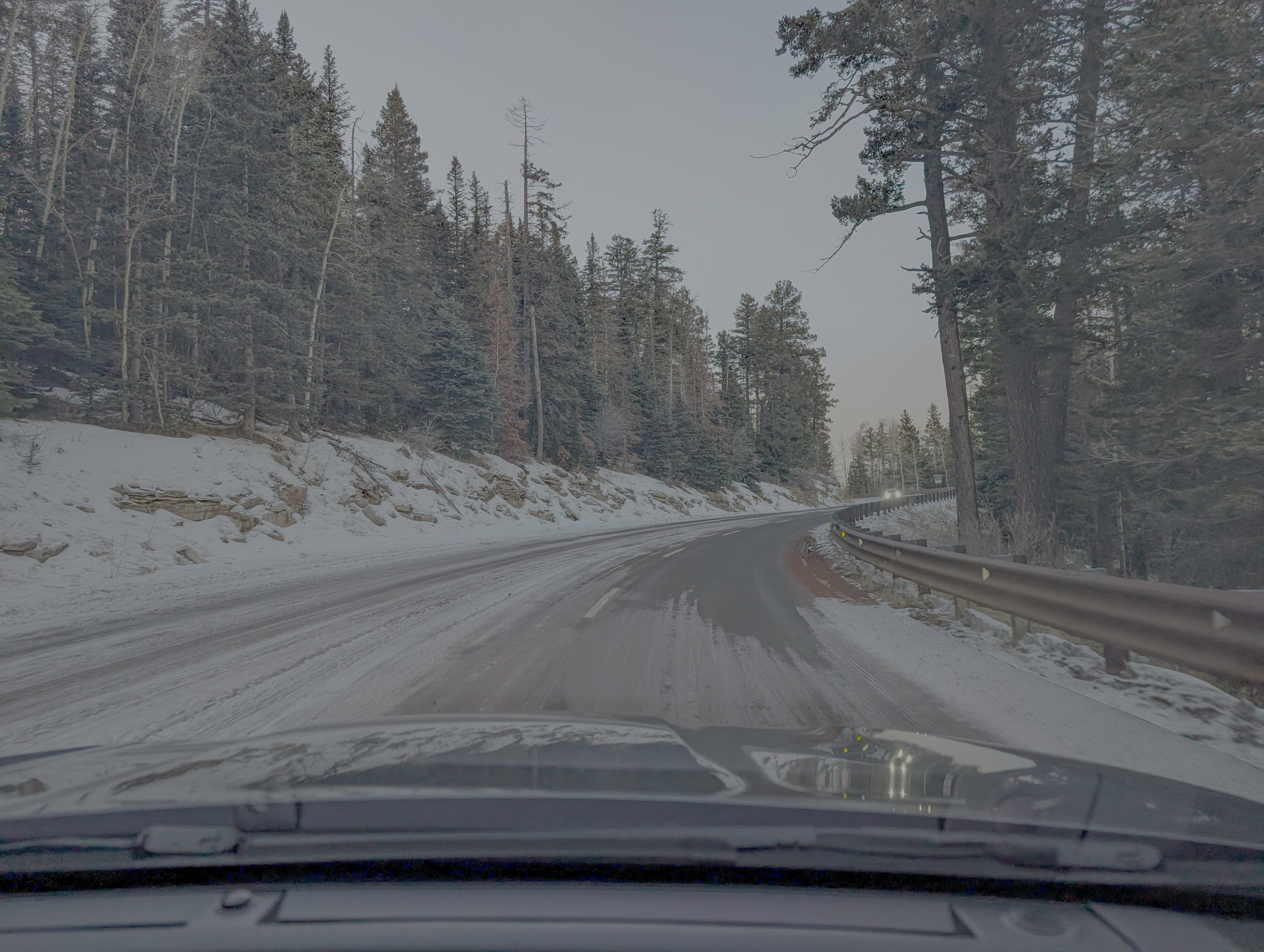
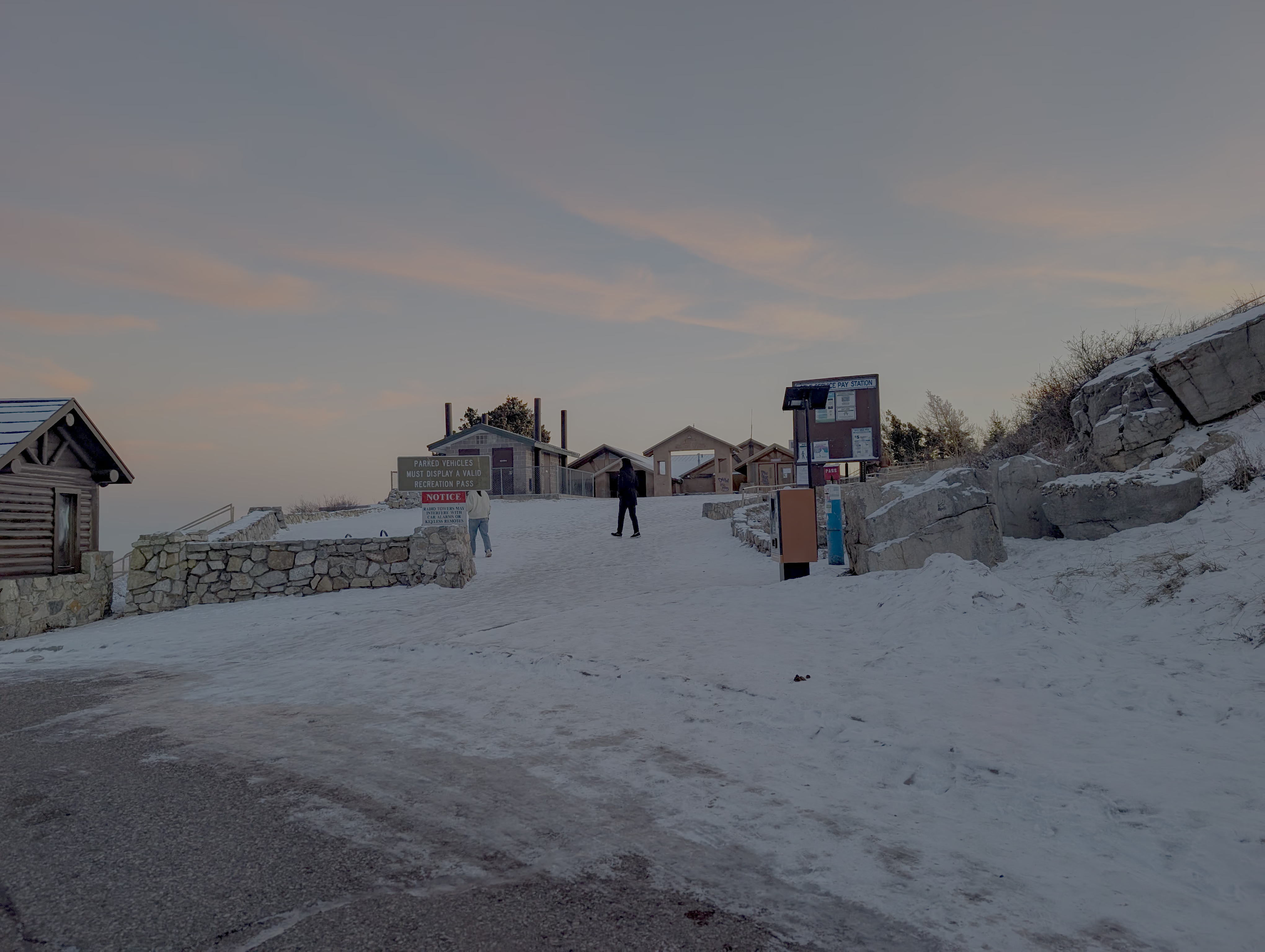
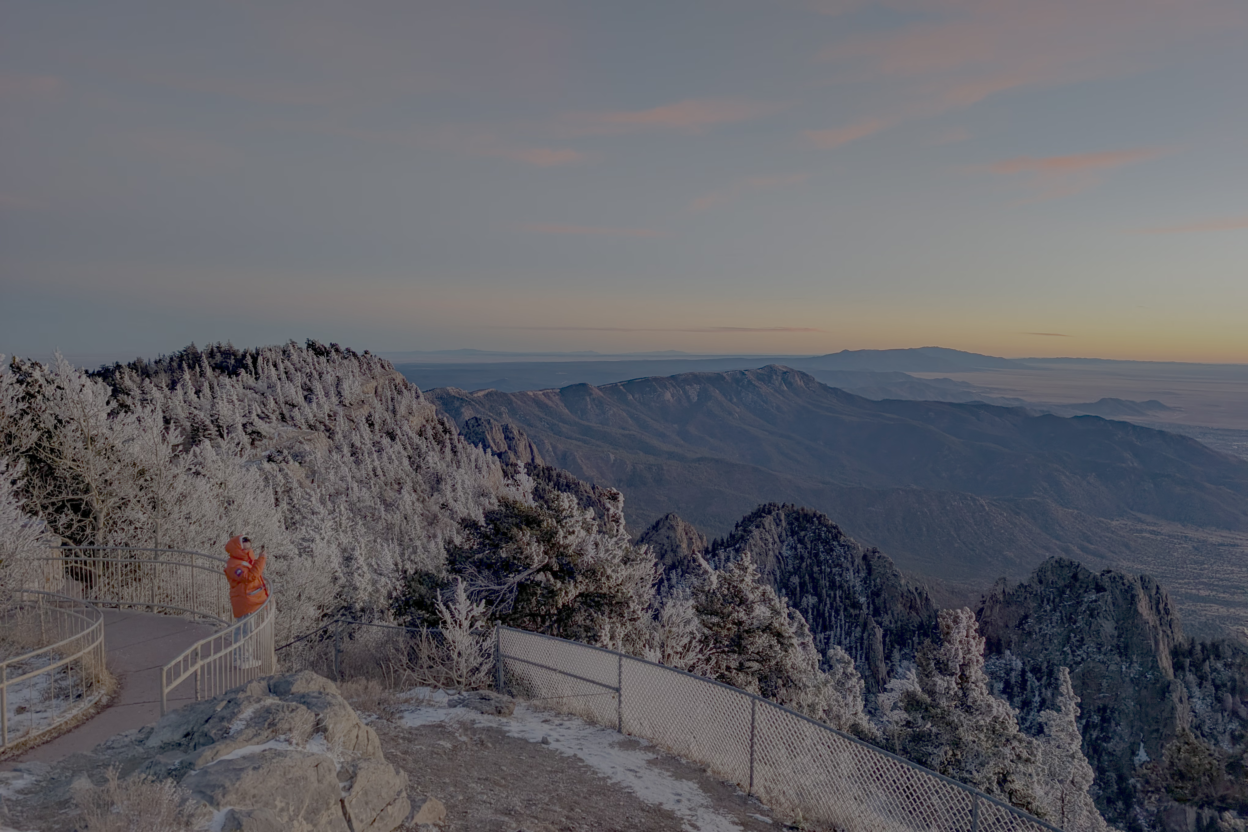
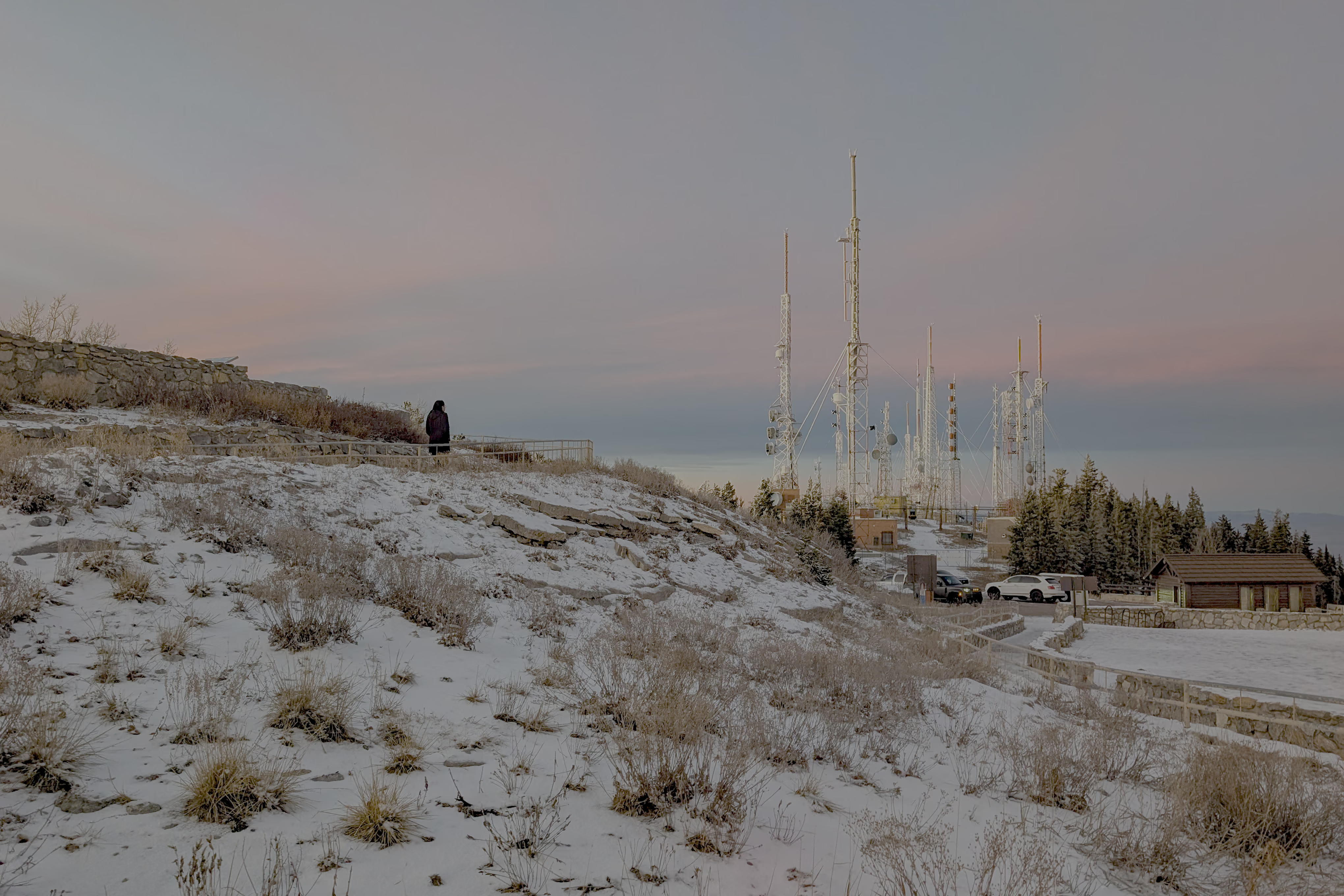
Returning to I-40 and driving east for another hour brings you to Albuquerque, the largest city in New Mexico. Famous attractions in the city include filming locations from Breaking Bad (like the fried chicken restaurant), the National Museum of Nuclear Science & History, and the Sandia Peak Tramway. Since tickets for the tramway were sold out (it seems you need to book at least 3 days in advance), we decided to drive up the mountain to watch the sunset.
Day 5: White Sands National Park
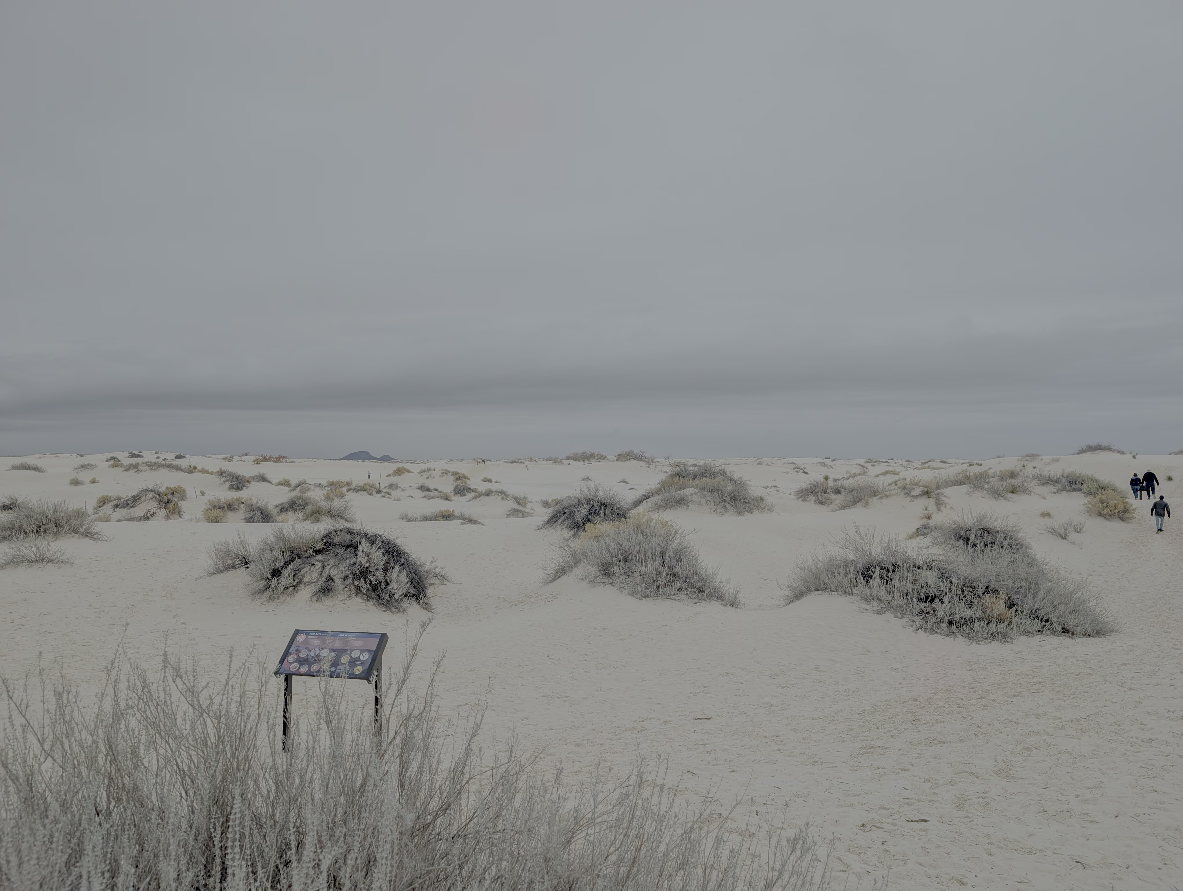
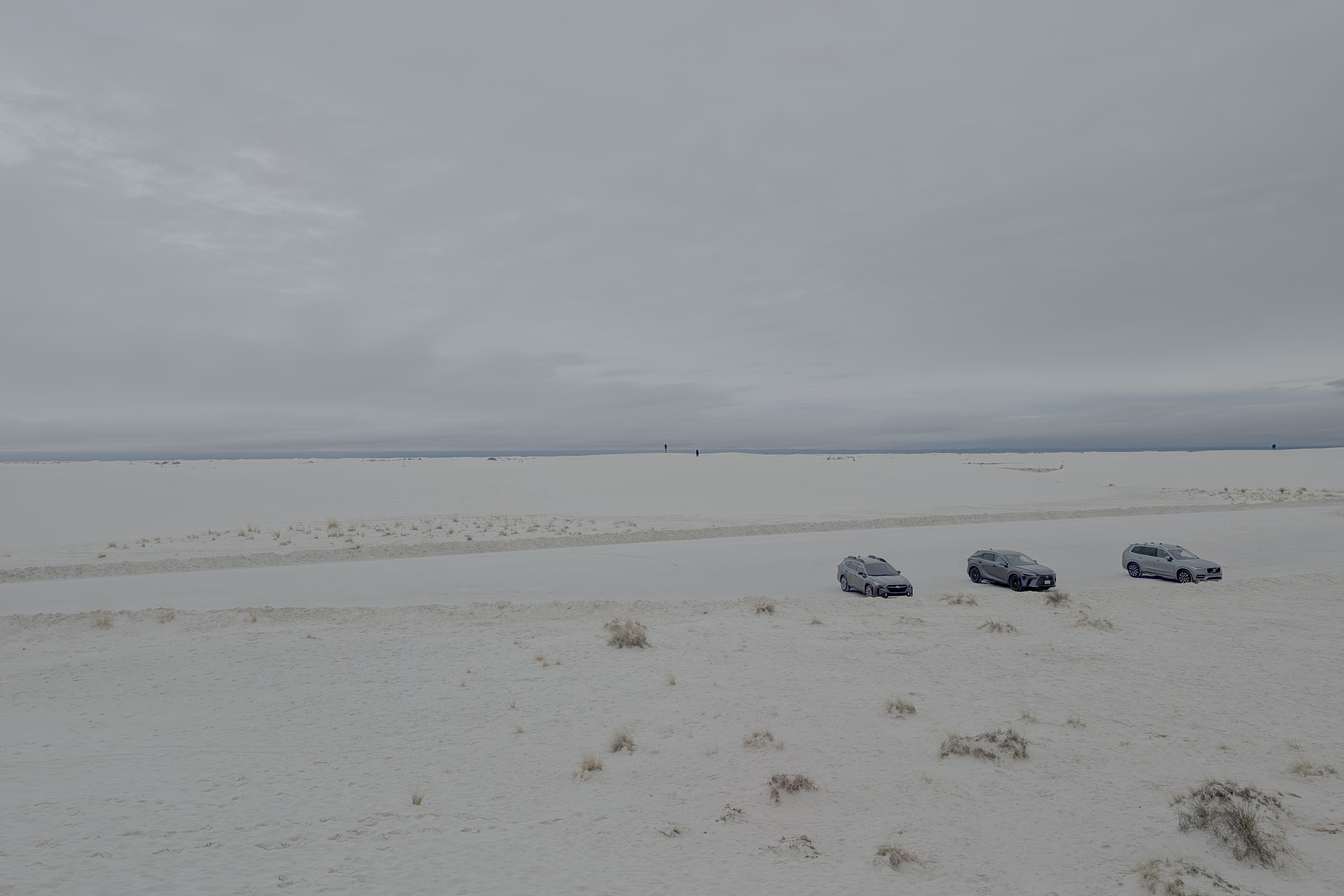
The sole destination for Day 5 was White Sands National Park, which is a 3.5-hour drive south of Albuquerque. Note that along SR-380 and SR-54, there are no gas stations or villages except in Carrizozo, so it is best to fill up your tank before leaving Albuquerque.
There is a visitor center at the park entrance (selling sand sleds, postcards, etc.). After entering, you drive about 3 miles on a paved road before it turns into a hard-packed gypsum sand road. At the end of the road (“Dune Drive”), there are picnic facilities and dunes you can climb for views. Unfortunately, it was raining slightly the day we went, so the dunes didn’t show much character other than being white.
Day 6: I-10, Saguaro Park
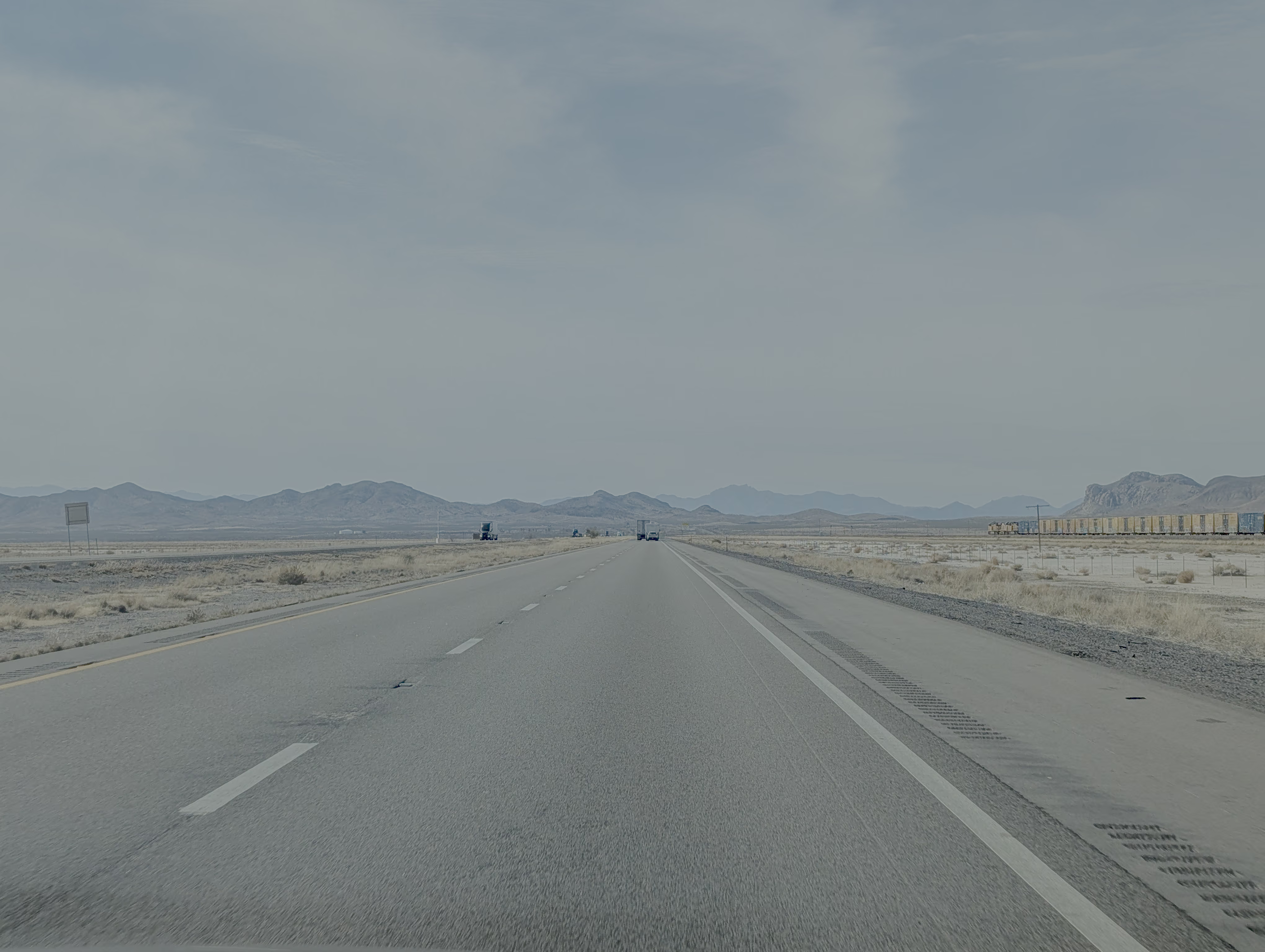
The main itinerary for the sixth day was driving west along I-10 to Tucson, taking about 4.5 hours. En route, we passed a CBP border checkpoint (they didn’t pull us over; the officer just glanced inside the car and waved us through). Therefore, if you are driving this loop, make sure to carry your passport and other identification documents.
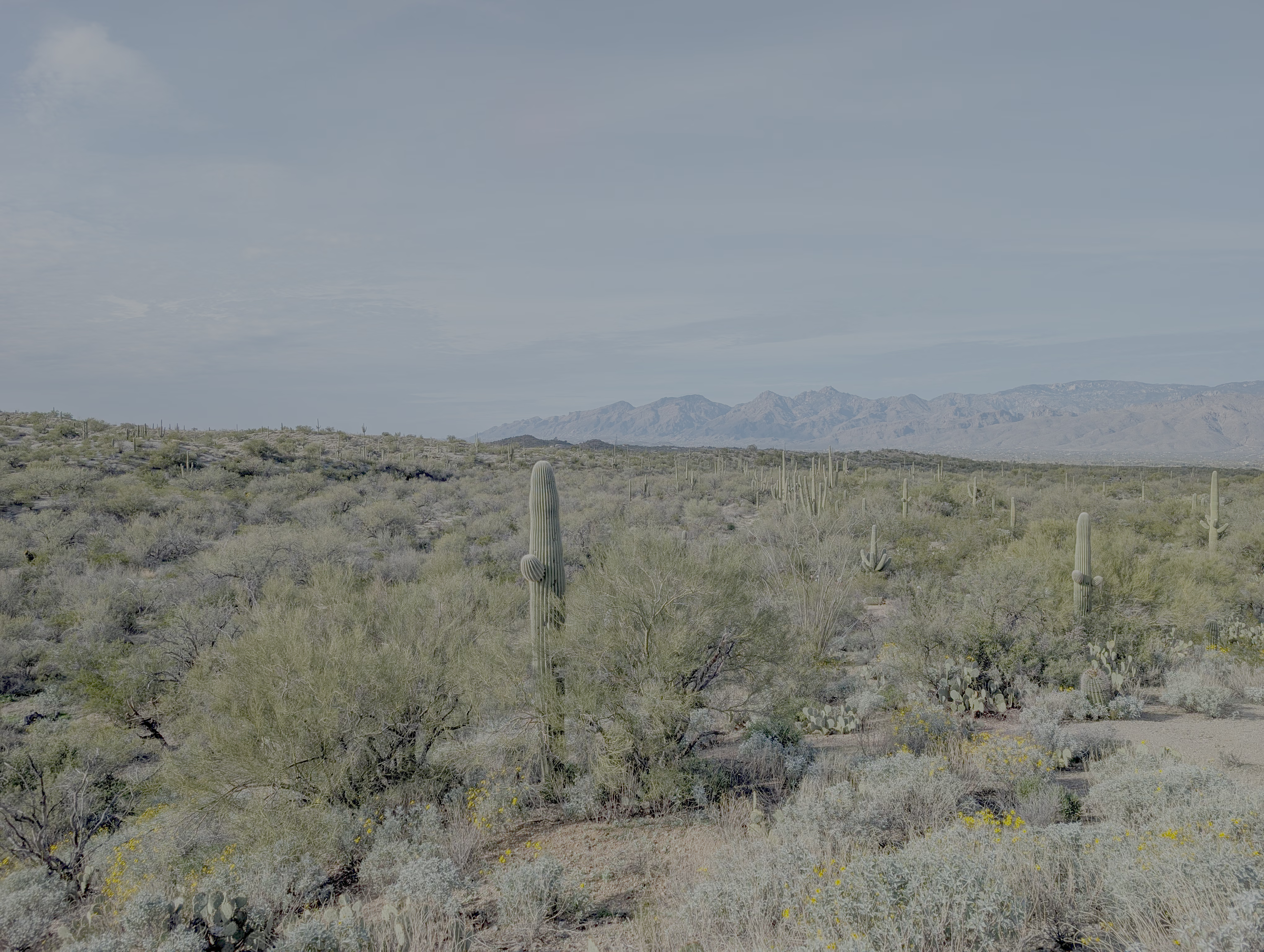
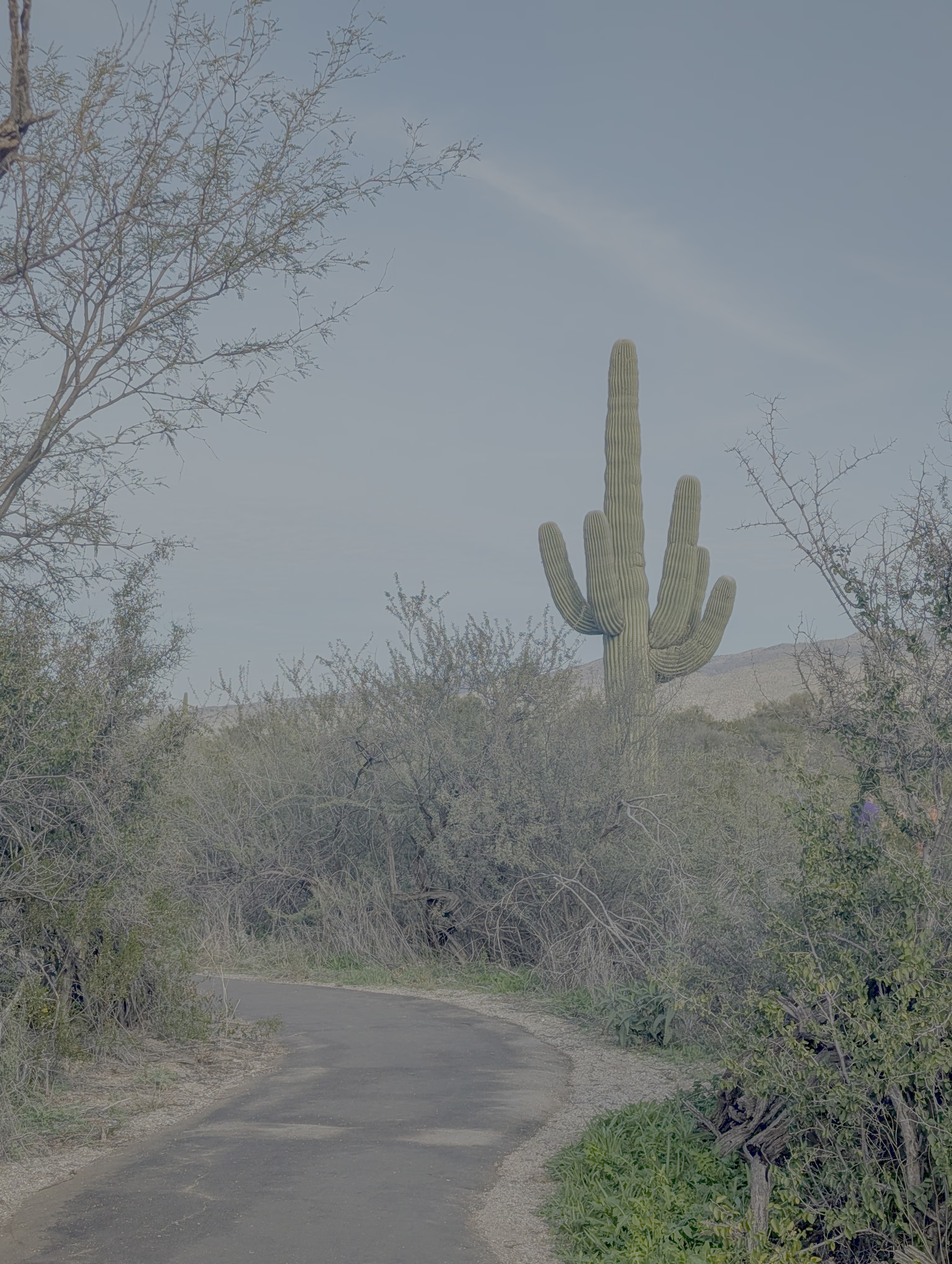
Before entering Tucson proper, we made a detour to Saguaro National Park East (the park has East and West districts, but the scenery is similar—mainly vast numbers of cacti).
Summary
Our entire trip covered more than 7 National Parks/Monuments, making it a route heavily leaned towards natural landscapes. Daily driving time was around 2-4 hours. If rotating between 2-3 drivers, this pace is quite comfortable. The winter temperatures are also very suitable for outdoor activities in desert/arid states like AZ and NM.
