Graduation Trip Under the ‘Dynamic Zero-COVID Policy’ - Qinghai-Gansu Grand Tour
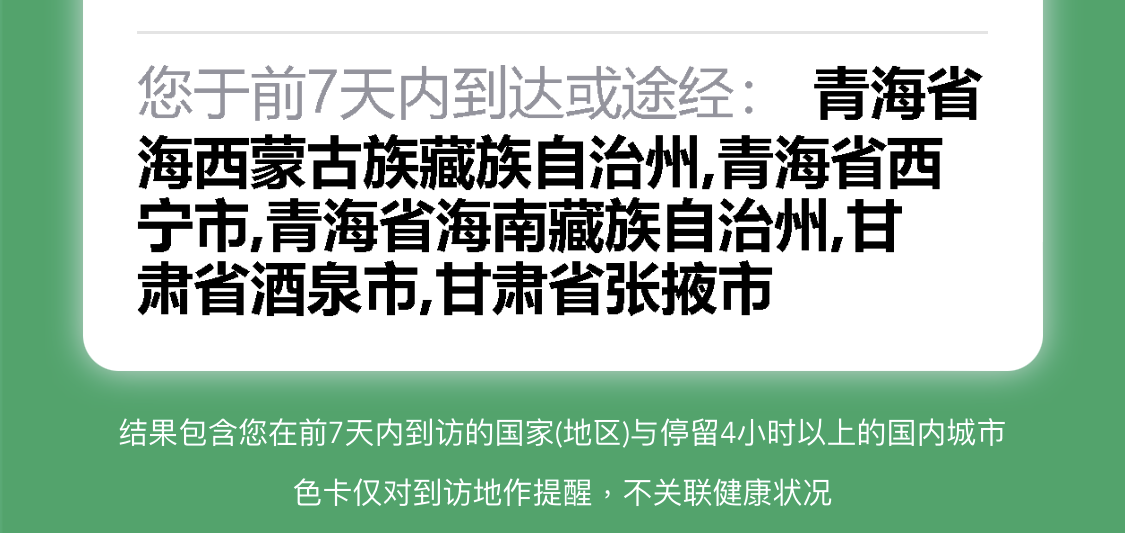
The initial idea for my graduation trip came about at the end of 2021. Back then, the plan was to visit Shanghai and the surrounding areas of Zhejiang. However, with the lockdown in Shanghai and the tightening of restrictions in various regions, by April-May 2022, most cities were requiring individuals to quarantine in place if there was even a single confirmed COVID-19 case in their district. We once thought our graduation trip might be ruined. However, with the “Nine Prohibitions” policy introduced by the State Council in June (specifically, the two prohibitions that impacted our trip were: “Do not arbitrarily expand the scope of travel restrictions from medium- and high-risk areas to other areas” and “Do not impose mandatory dissuasion, isolation, or other restrictive measures on people from low-risk areas”), entry policies in various regions were relaxed. So, we gradually finalized our plan to travel to Tibet in early June. However, with the emergence of new cases in Shenzhen around June 18th, to avoid unnecessary trouble, we ultimately opted to travel to Qinghai and Gansu, where the control policies were relatively loose at the time. With the release of the Ninth Edition of the Diagnosis and Treatment Protocol, which explicitly stated that “isolation of individuals entering from low-risk areas is not allowed,” we finally confirmed our graduation trip plan - a chartered car tour along the Qinghai-Gansu circuit.
Map
Pre-trip Preparations
Our group of five found a travel agency on Mafengwo and booked a seven-seater car for seven days (D3-D9 in the itinerary) based on their recommended route (Itinerary link, The driver mentioned we could book directly with him for a lower price than the travel agency. Zhang’s phone number: 13897503462, WeChat available). The car model was a SAIC Maxus G10 Plus, about three years old.
Altitude Sickness
Xining has an altitude of around 2500 meters, and the highest point we stayed at during the entire trip was Chaka Salt Lake, slightly above 3000 meters. If you’re worried about altitude sickness, you can refer to this answer and purchase some acetazolamide (In Hong Kong, this medication is directly called “altitude sickness,” but you need to read the instructions yourself. I experienced a slight side effect of finger numbness after taking it; while the widely known medication Rhodiola rosea seemed ineffective and even caused one of our companions to vomit).
Aerial Photography Drone
Drone flying is allowed in most scenic spots in Qinghai, while it’s explicitly prohibited in most of Gansu. However, in reality, people were flying drones in Gansu’s attractions without any intervention, probably because there were so few people that the security guards didn’t bother to manage it.
Itinerary Planning
Since Xining still required a “three-day, two-test” policy for people coming from districts with confirmed cases before our departure, we added an extra day in Xining to accommodate potential policy changes. This arrangement also allowed us to visit Ta’er Temple on D2 before returning to downtown Xining.
When we set off, we also planned to visit Lanzhou for three days after the Qinghai-Gansu circuit. However, due to the increased number of cases in Lanzhou after July 8th, to avoid lockdowns, we decided to return directly from Xining and booked a hotel near Xining Airport, bypassing downtown Xining.
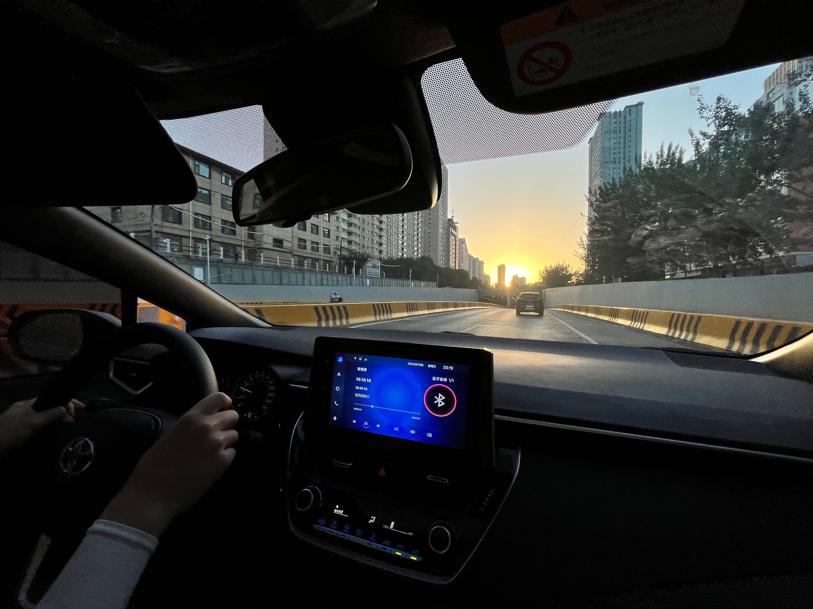
D1 Xining
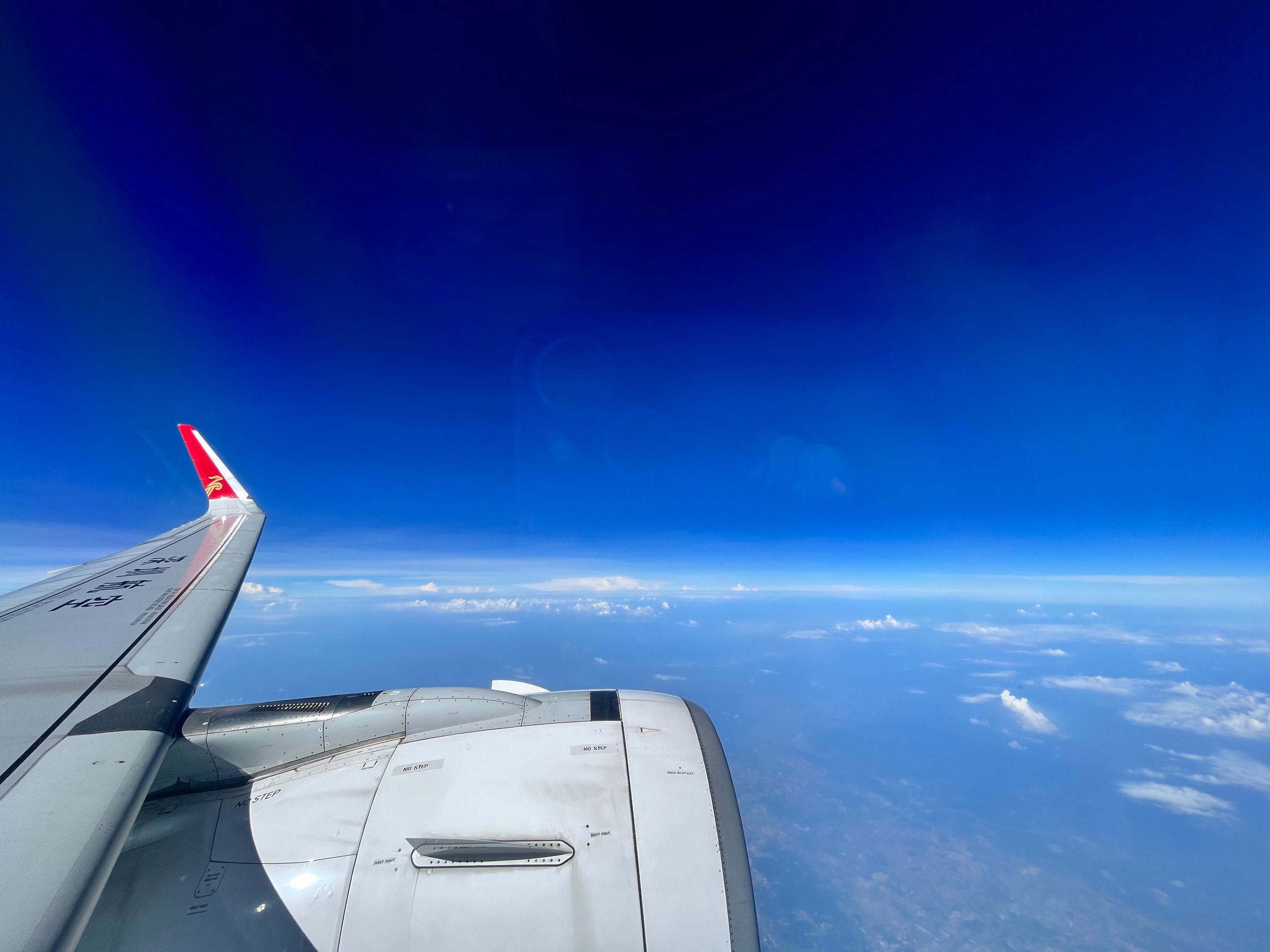
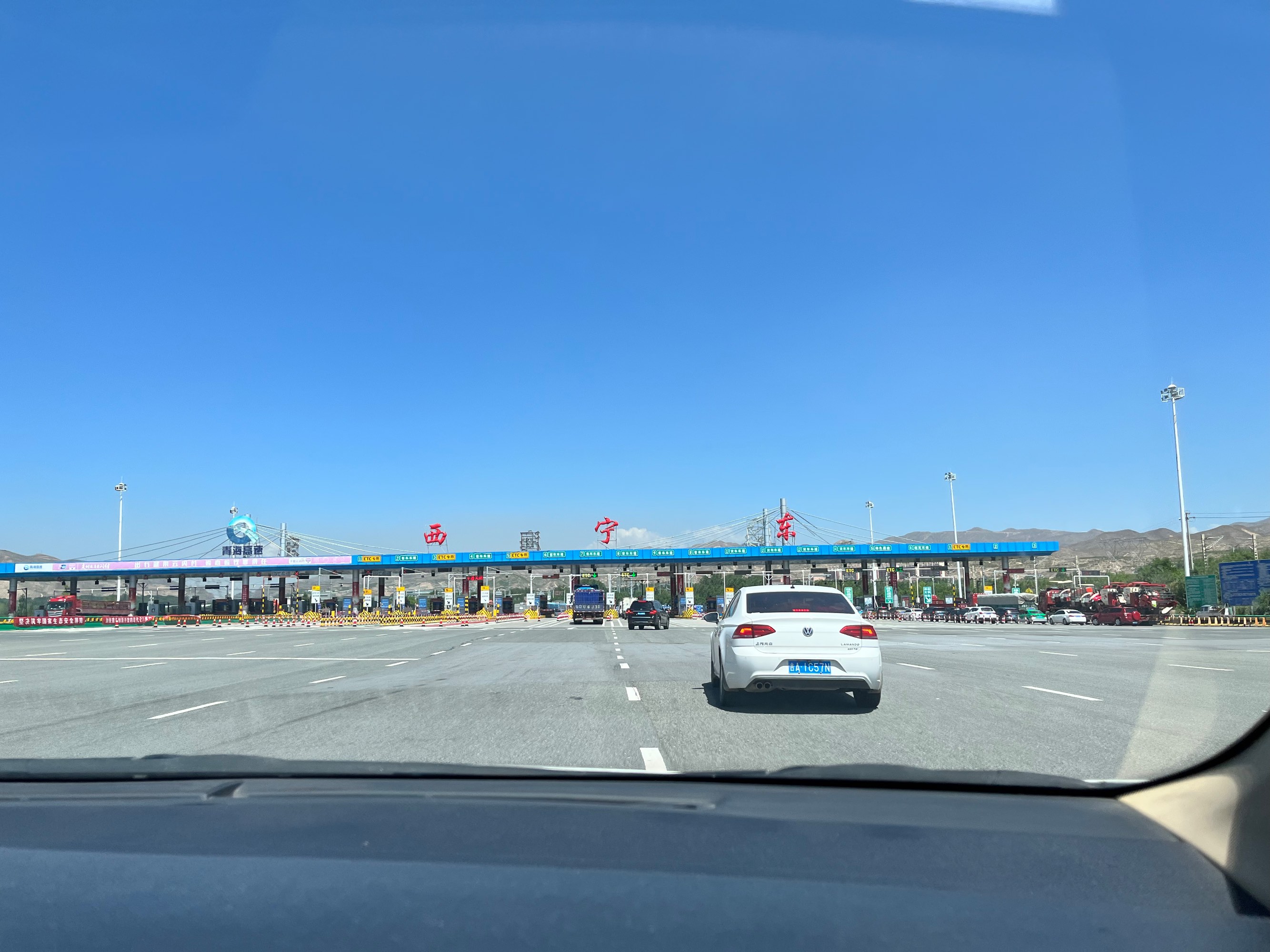
We arrived at Xining Airport on the first morning and underwent on-arrival nucleic acid testing. We took a taxi to our homestay around 1-2 PM. There were very few arrivals at the airport (perhaps due to the morning time), and the queue for nucleic acid testing outside was less than ten people at times.
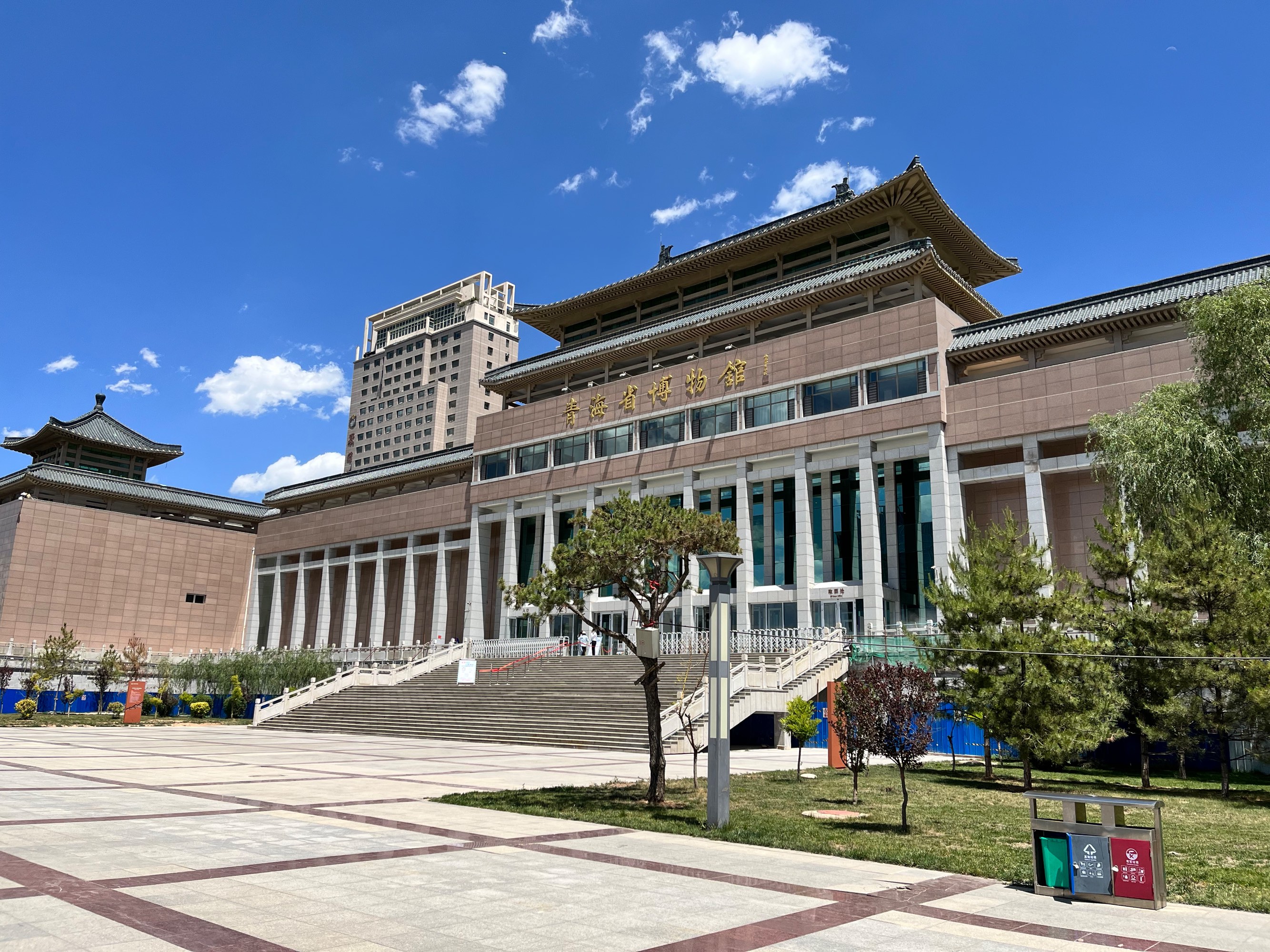
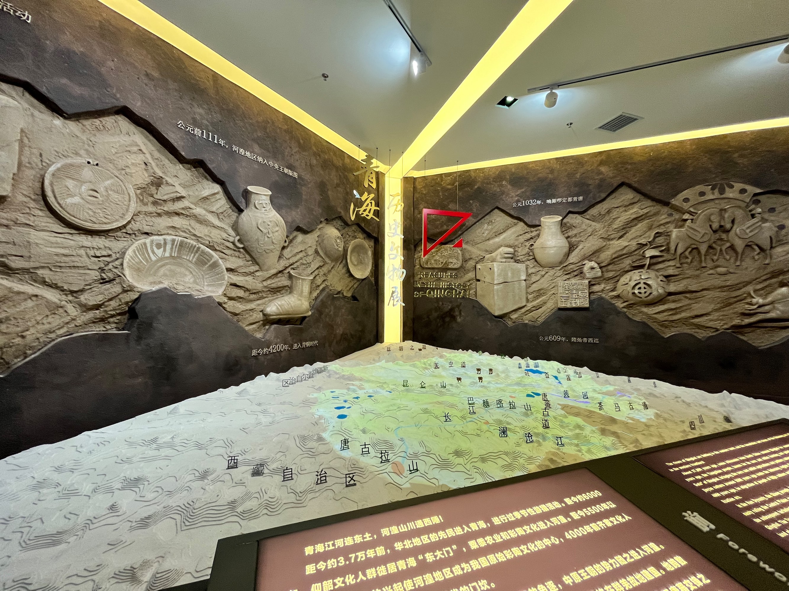
After lunch on the first afternoon, we visited the Qinghai Provincial Museum. The main exhibits naturally focused on cultural relics from various dynasties within Qinghai Province. What impressed me the most was that, perhaps due to the dry and sandy conditions in Qinghai, there were well-preserved pottery pieces dating back to the Han Dynasty and even the Warring States period.
In the afternoon, we took a bus to Nanshan Park (Xining’s buses support China Transportation Union (TU) and UnionPay cards). The mountain wasn’t very high, but since the buildings in Xining are generally not tall, we could see a panoramic view of the city from the top.
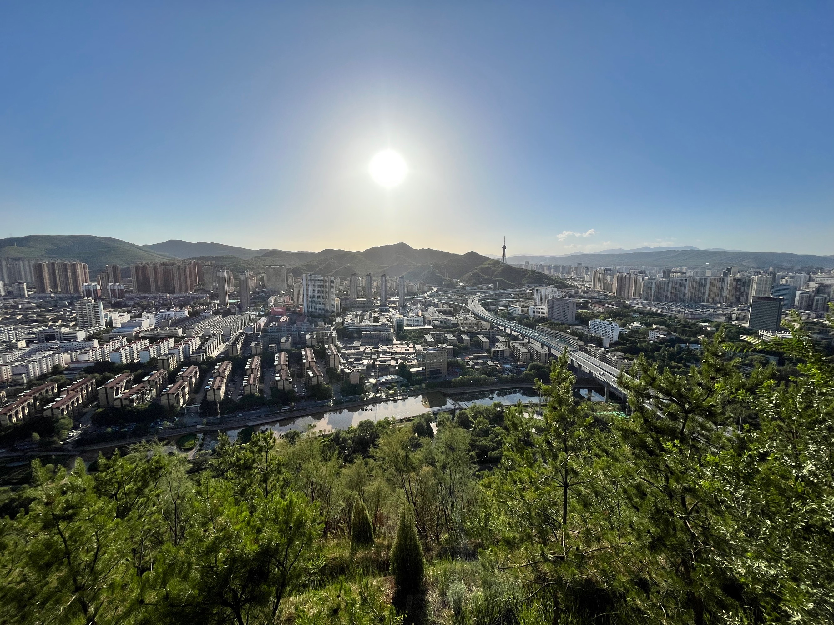
The weather on D1 was excellent, with mostly blue skies. Unfortunately, due to dust later on, the weather throughout the circuit wasn’t as clear.
Following the homestay owner’s recommendation, we had dinner at Yifude Kang Rou in the evening. Their main dishes are pit-cooked lamb/beef/chicken, which involves simmering the meat, potatoes, and vermicelli in a pot until the sauce thickens. It’s worth mentioning that a soda series called “Dayao Soda” is also common in restaurants in Xining and Gansu, with flavors like orange, lychee, and original. The orange soda tastes similar to Fanta, the lychee flavor is like typical lychee drinks, and the original soda, according to my companions, tastes like cold medicine…
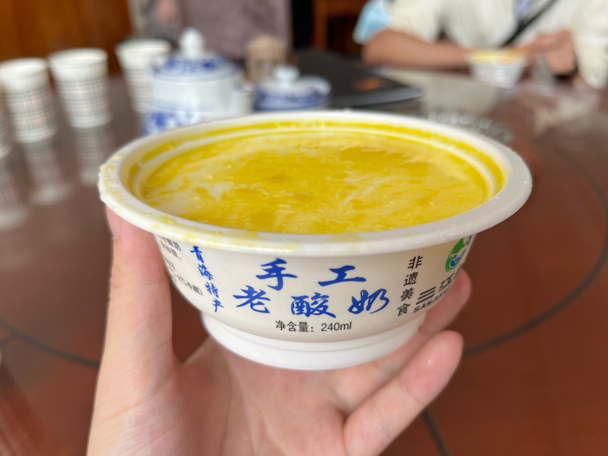
After dinner, we also tried the Qinghai old yogurt (the kind with a yellow milk skin). However, the original yogurt was too sour for our taste. We preferred the improved version with sugar added during the production process.
Health Code
Qinghai uses a health code called “Credit Health Code,” which sounds a bit strange as it seems to mix epidemic prevention with personal credit. However, compared to Guangdong’s health code, Qinghai’s code supports Alipay, WeChat, and UnionPay, which is better than Guangdong’s strong binding between the health code and WeChat. Entering scenic spots generally requires scanning a venue code, while restaurants and small shops are less strict and don’t enforce scanning.
D2 Ta’er Temple, Lianhu Park
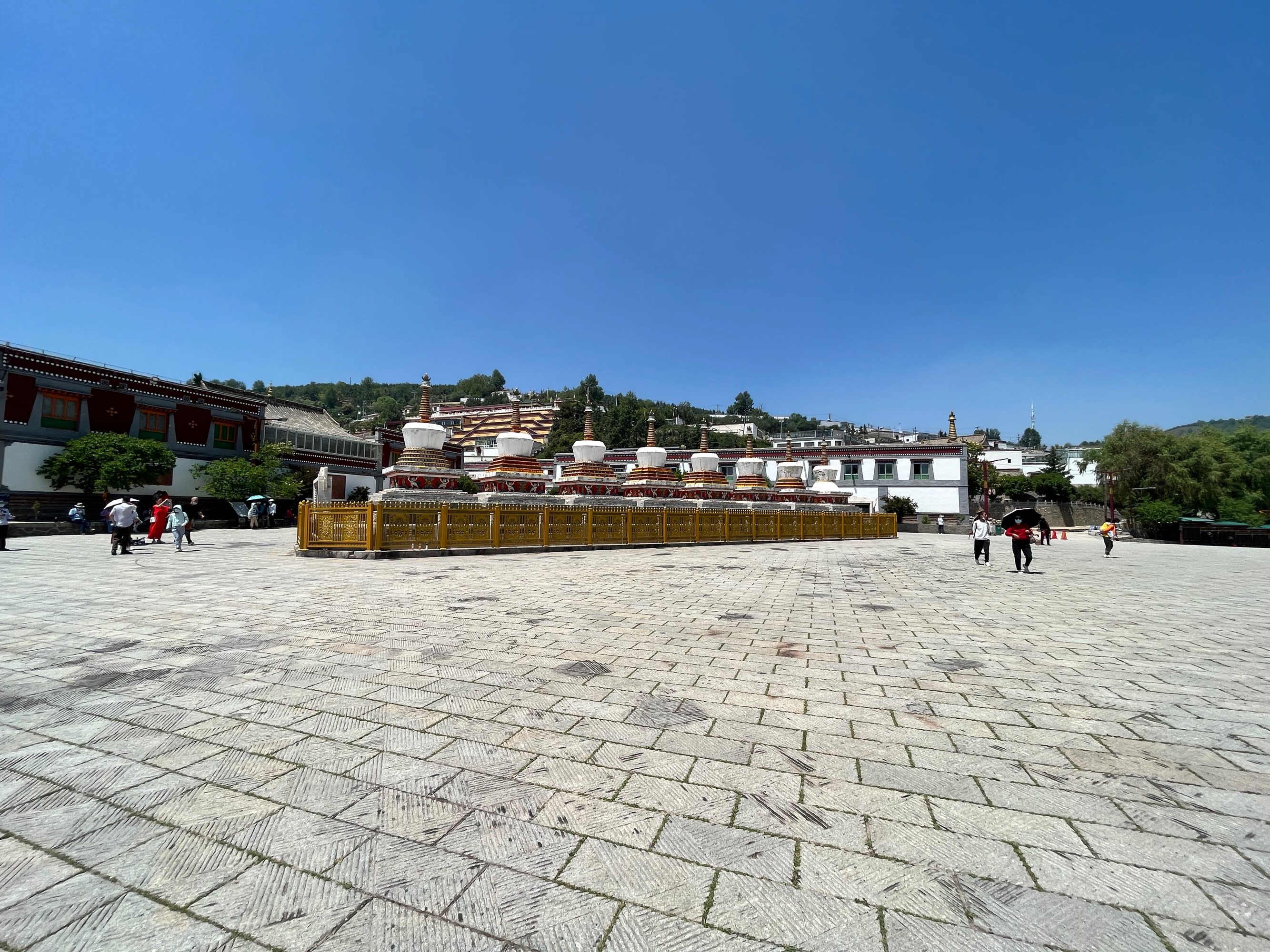
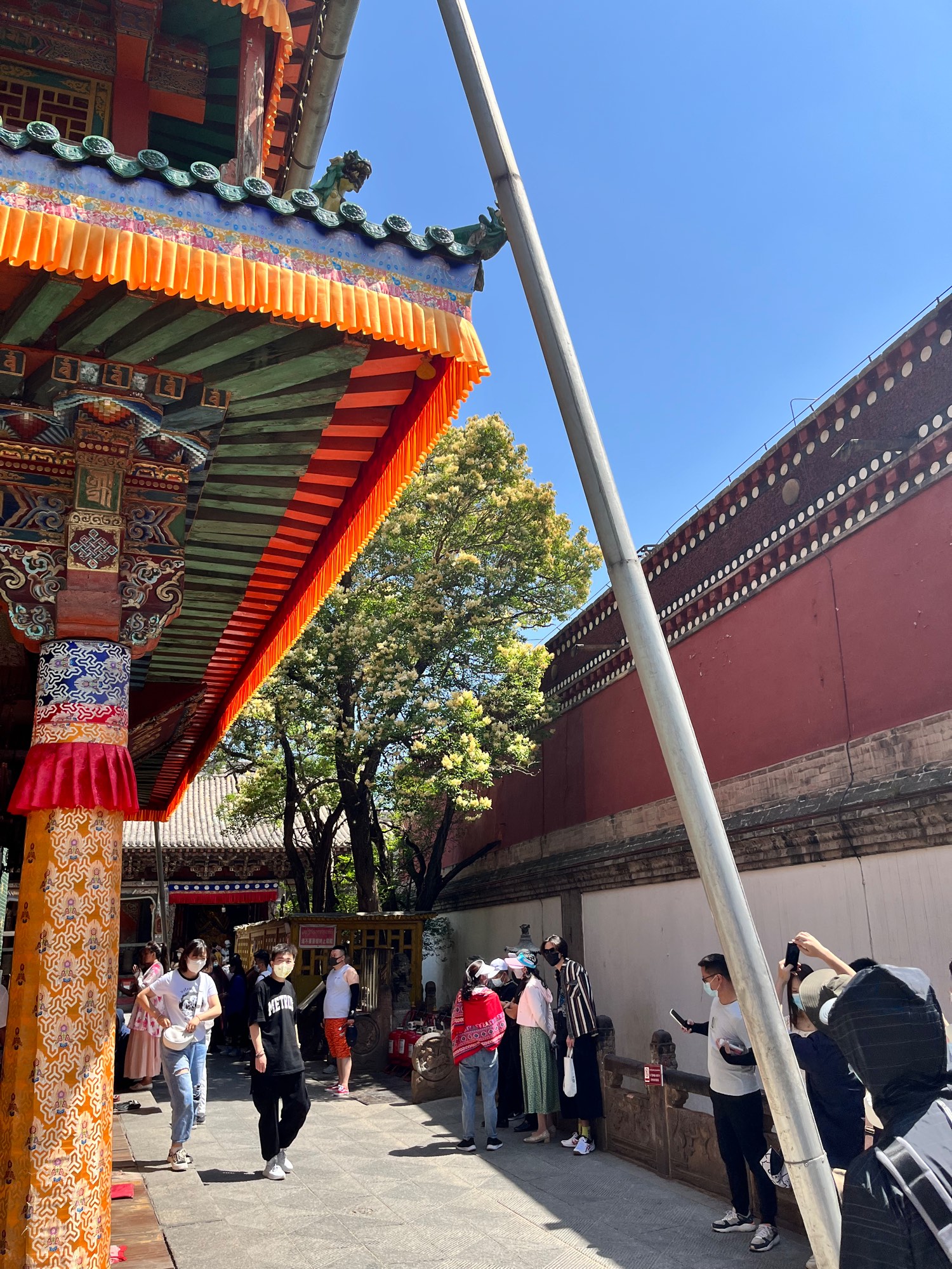
Ta’er Temple
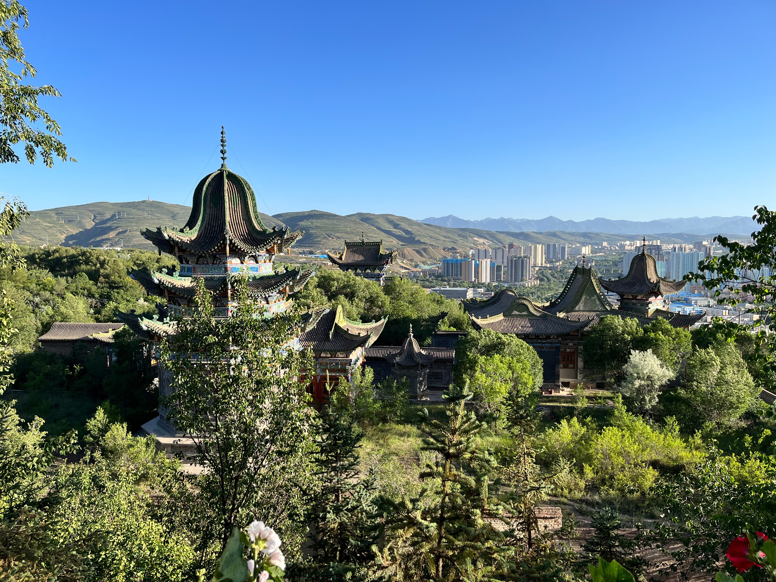
Ta’er Temple is about 30 km away from downtown Xining, not too far but not too close either. This meant that if we wanted to visit, we basically had to dedicate the entire day to it. So, we rented a car for the day and visited Ta’er Temple and the nearby Lianhu Park.
At Ta’er Temple, we hired an official tour guide (160 RMB for five people, about 1.5-2 hours). The guide was very thorough and provided a great experience. Before the tour ended, we asked him if the nearby Tibetan Culture Museum was worth visiting, and he said it wasn’t particularly interesting, so we skipped it.
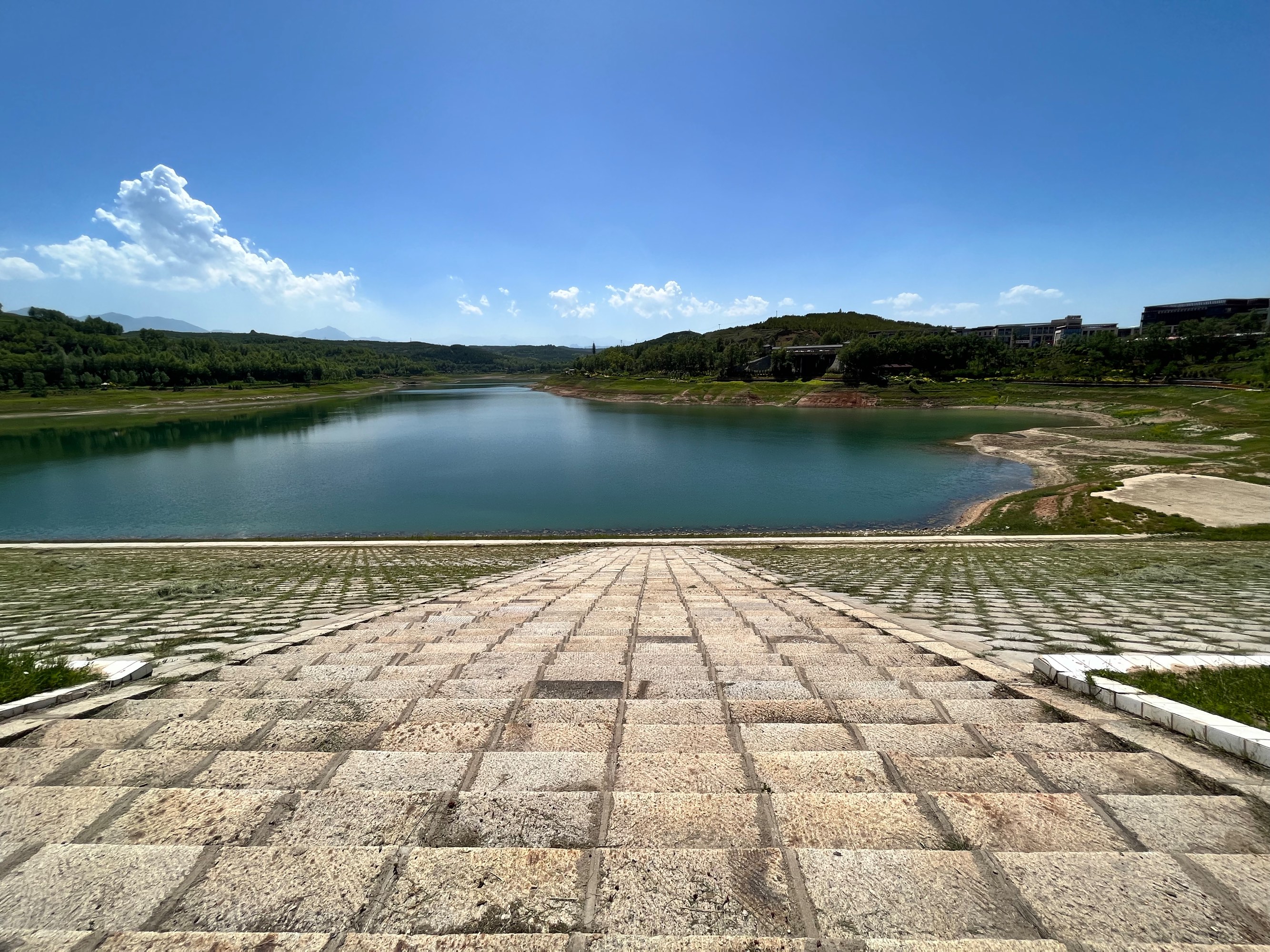
Lianhu Park
After visiting Ta’er Temple, we had lunch in the nearby county town. We randomly chose “Huangzhong District Lusa’er Wanju Hotpot,” and the quality was decent. After lunch, we went to Lianhu Park next door. Lianhu is essentially a reservoir, but the sun was too scorching, and we retreated back to the car within ten minutes of reaching the dam.
For dinner, we went to Yiranxuan Tea Restaurant. Their specialties are scrambled eggs with sand leek and covered bowl tea. The sand leek tastes a bit like flavorless crown daisy, which I found alright; the covered bowl tea is green tea with red dates, goji berries, and sugar, so it’s quite sweet.
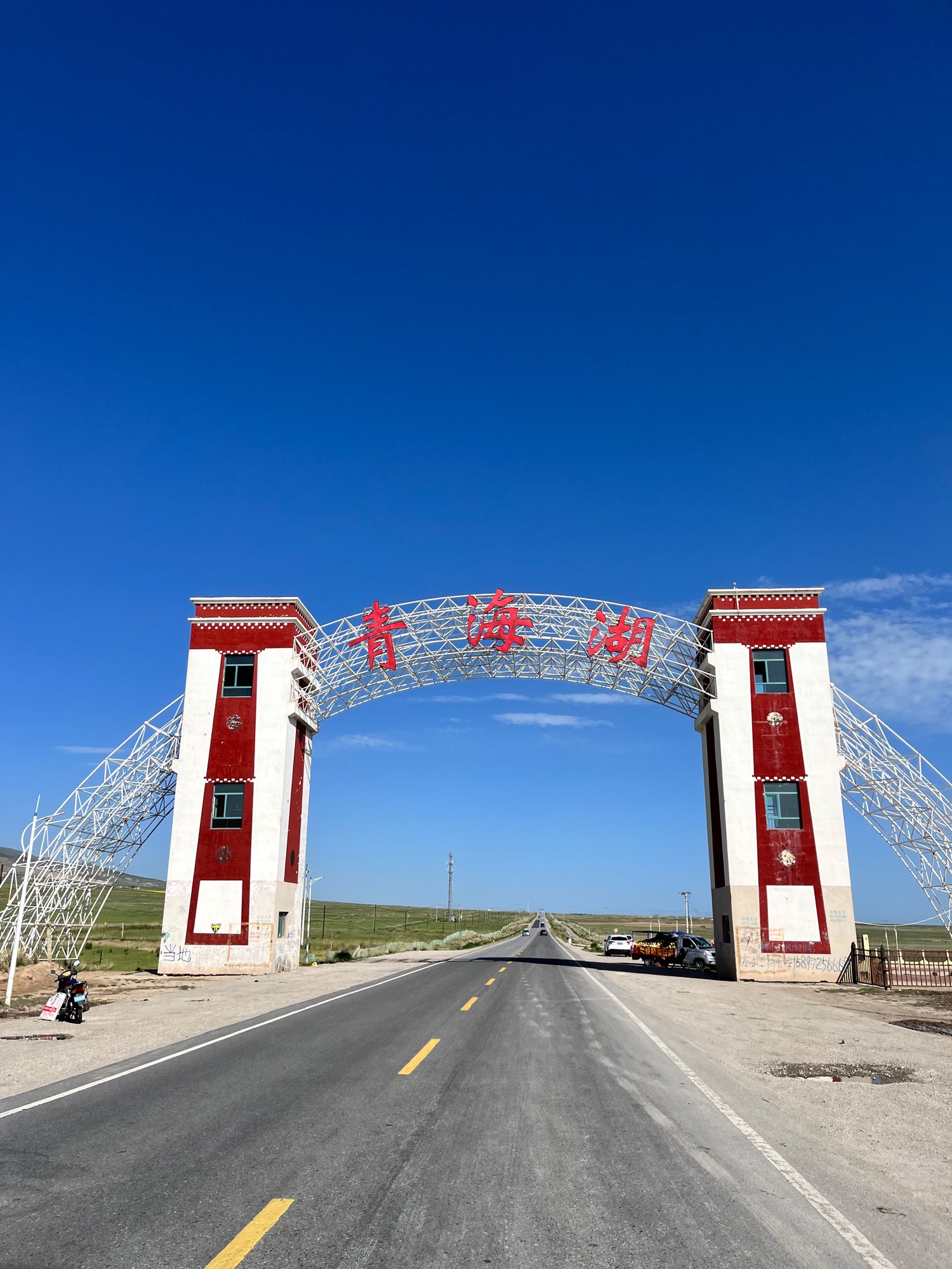
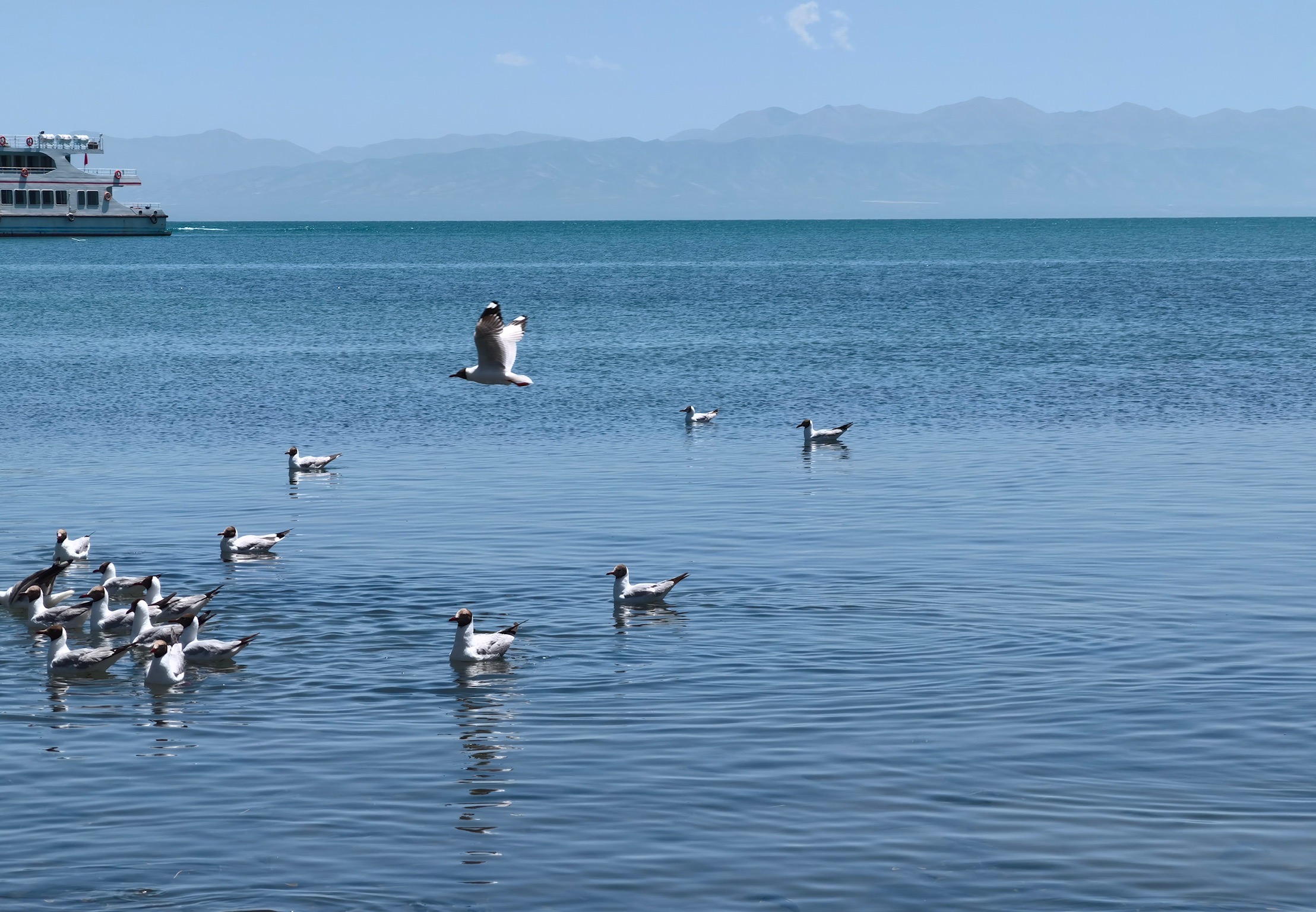
D3 Qinghai Lake
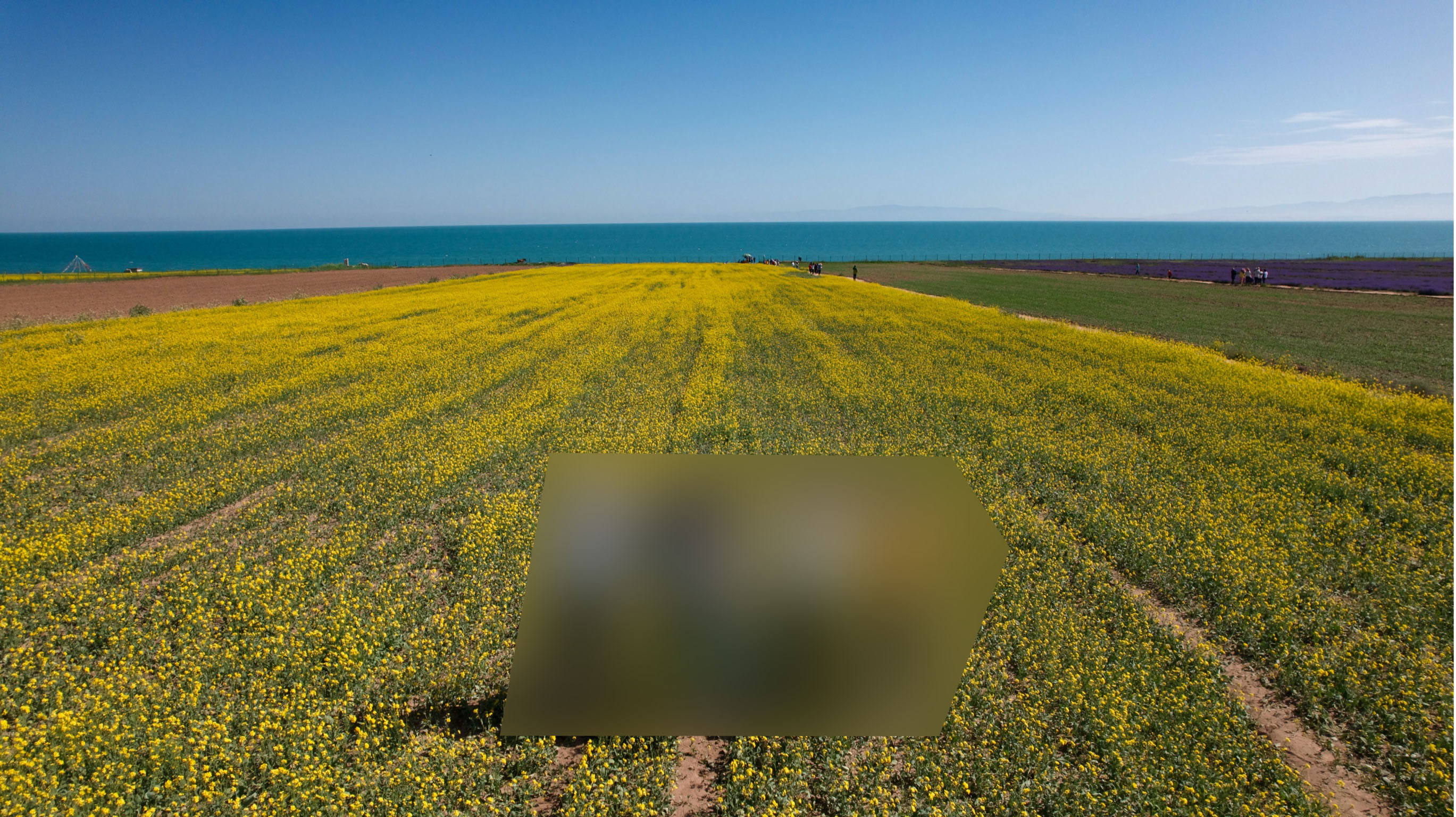
On the third day, the driver picked us up, and our seven-day chartered car journey began. In the morning, we headed to Qinghai Lake, first visiting a private attraction by the lake with some rapeseed flowers and lavender, with an entrance fee of 40 RMB per person. Ignoring the weather, the photo opportunities were quite good.
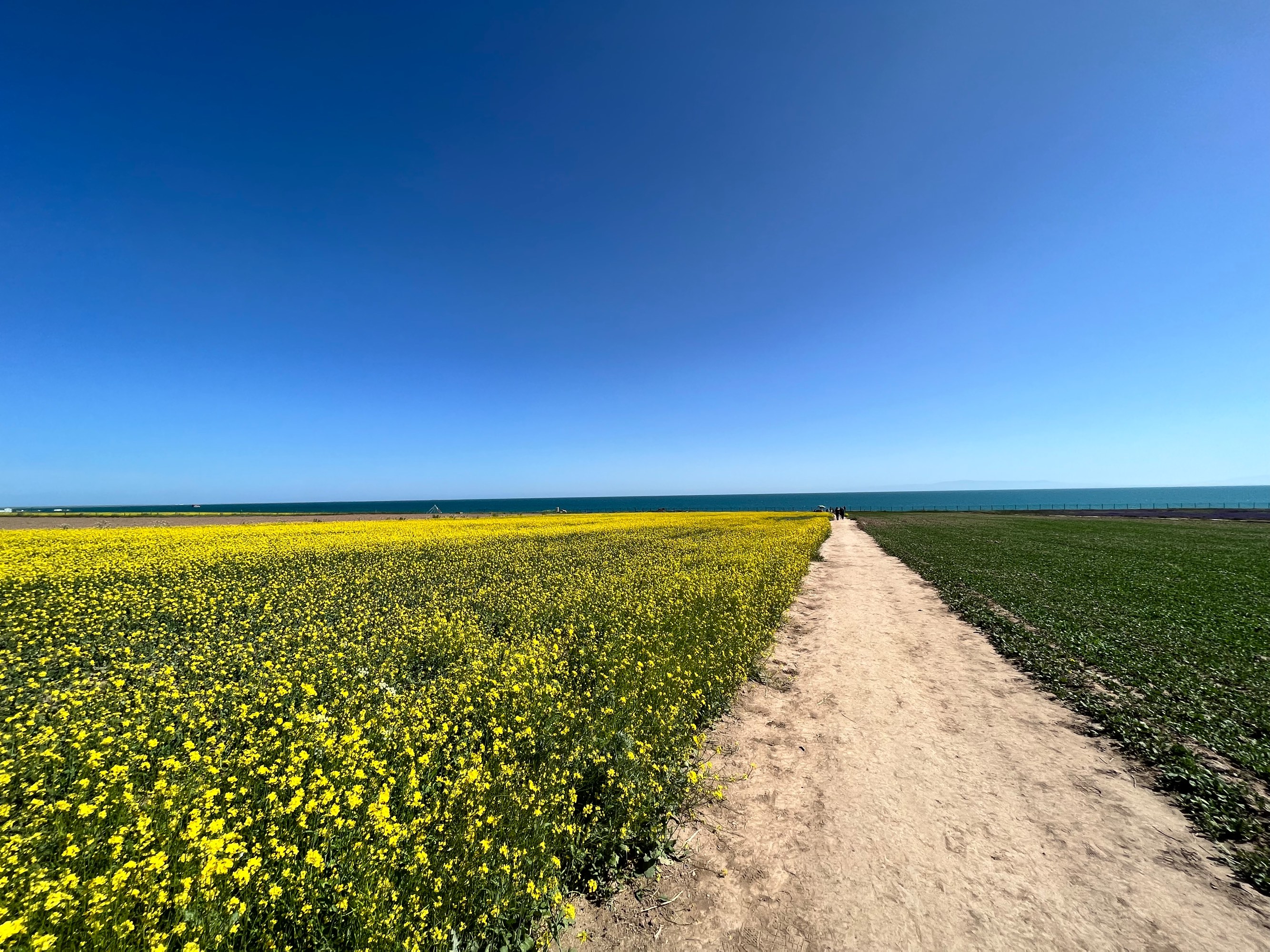
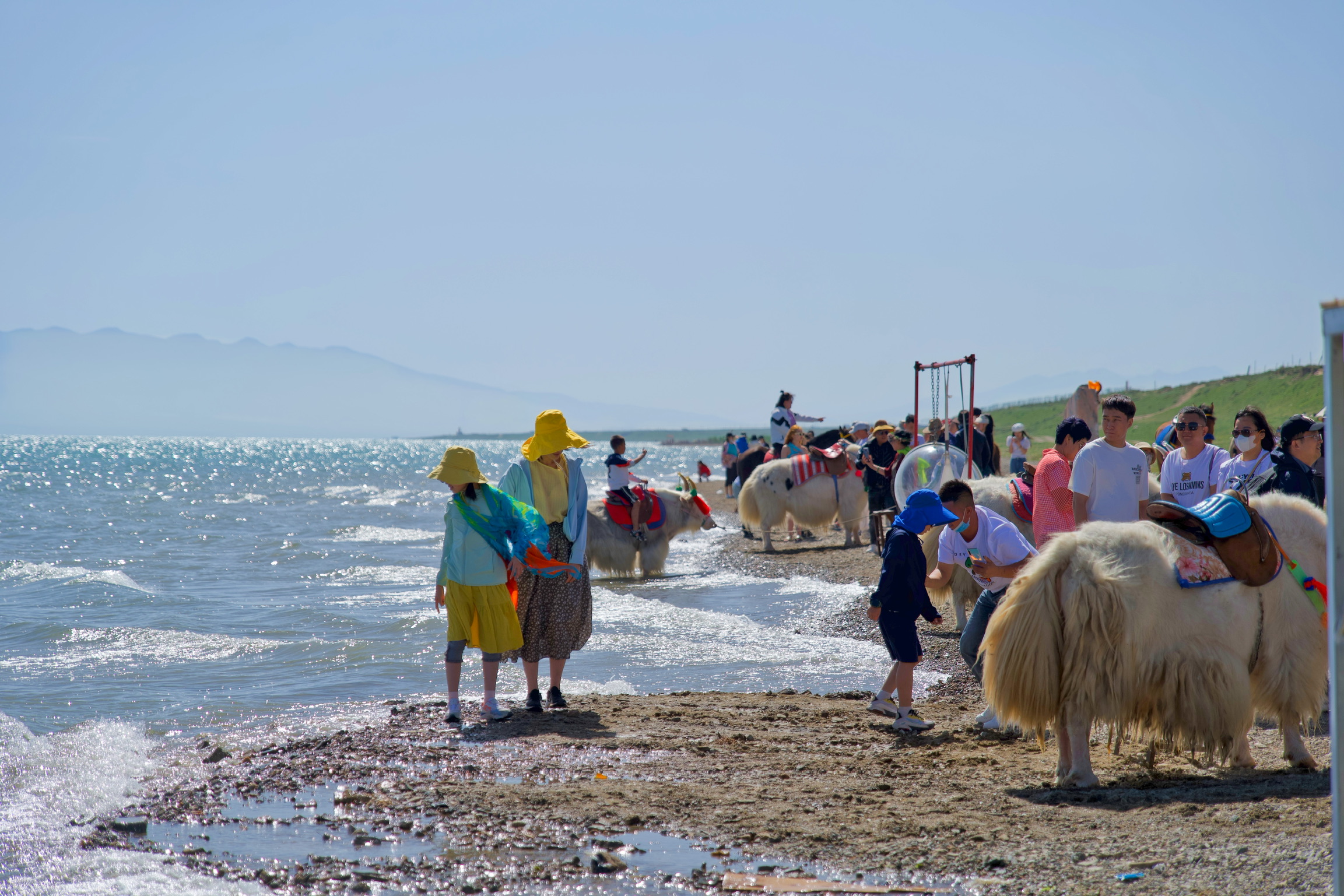
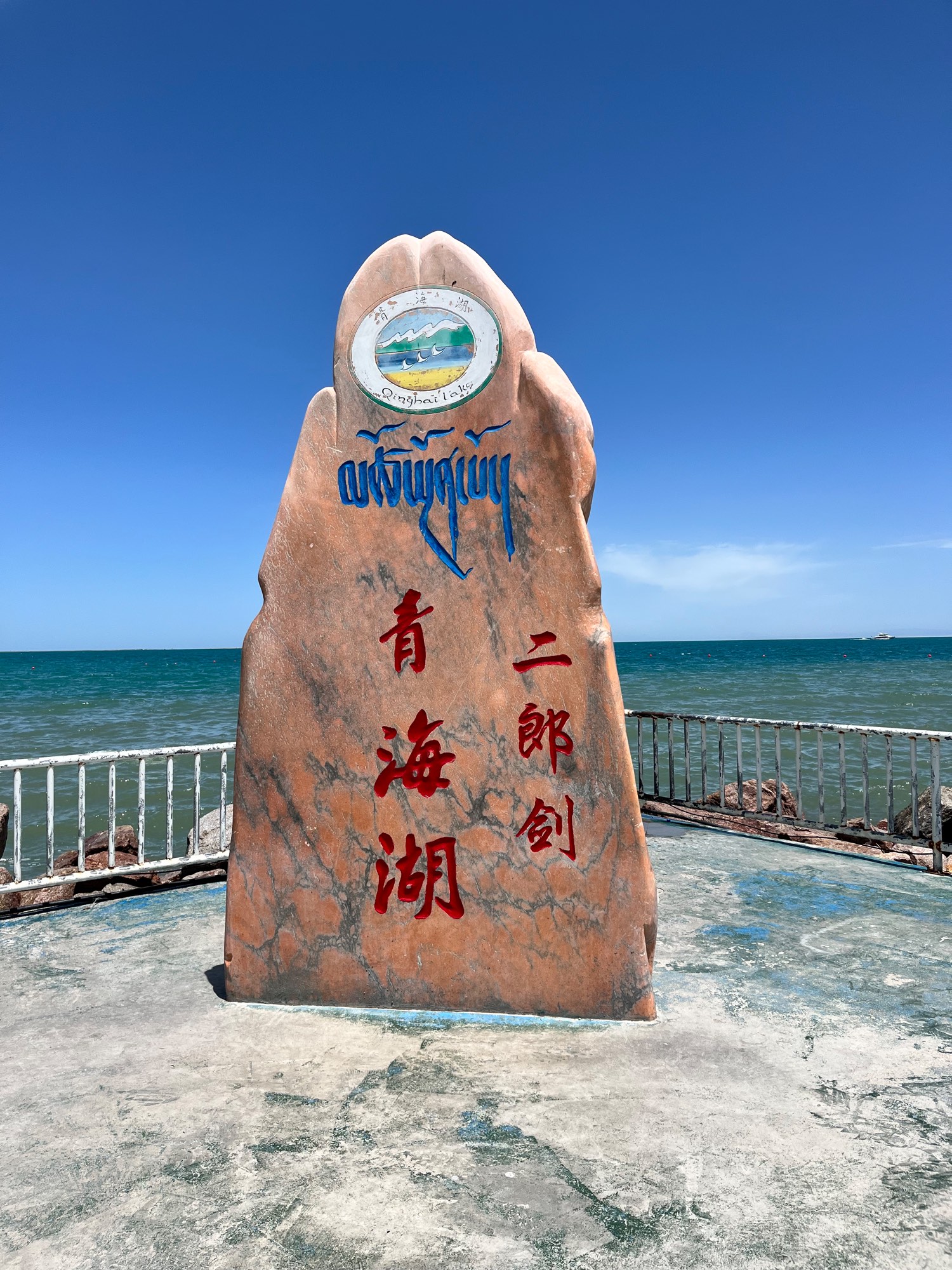
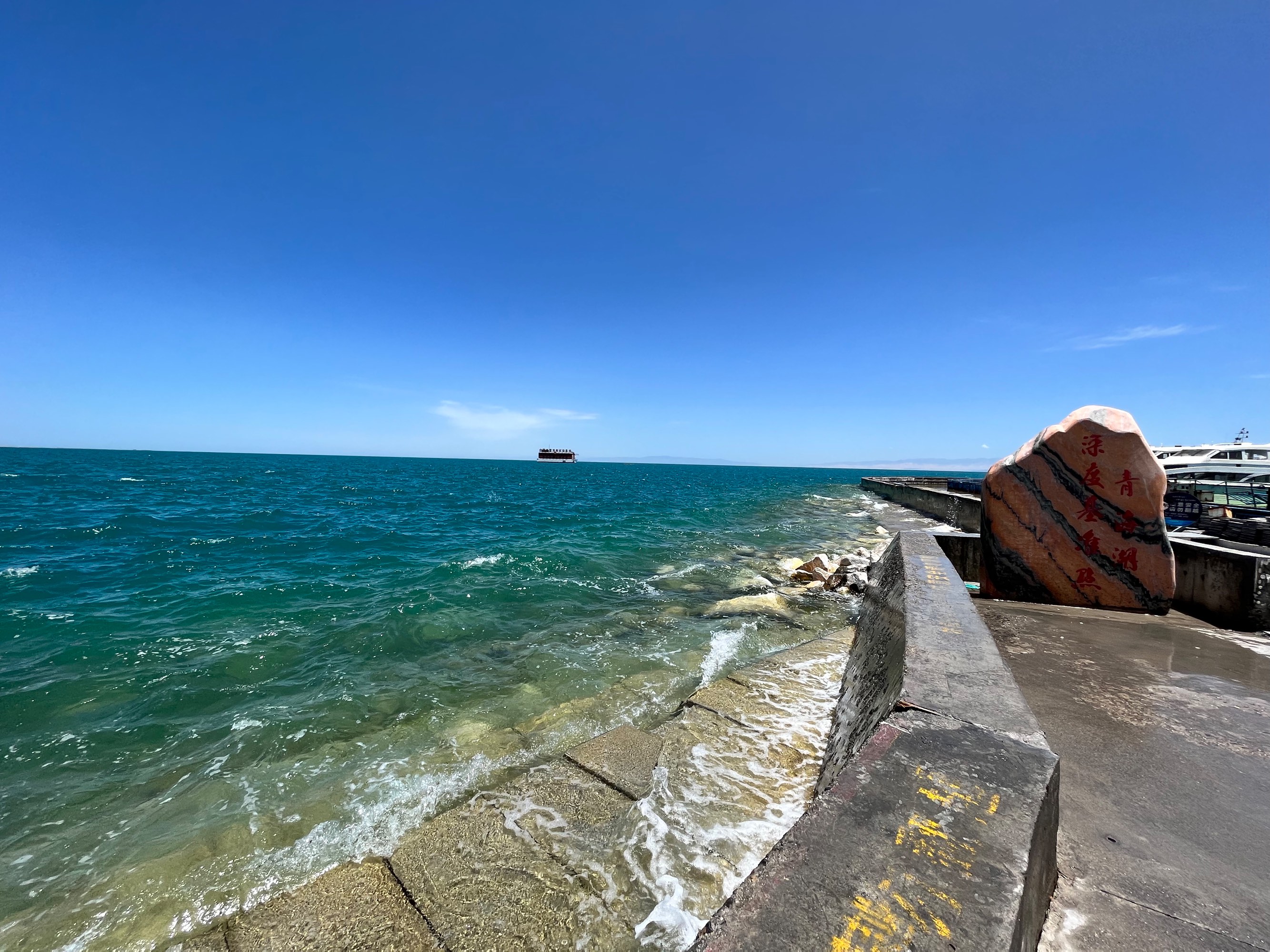
Afterwards, we went to the Erlangjian Scenic Area. The main attraction there is a boat tour around the lake (about 10 km), but my companions didn’t find it appealing, so we didn’t go. The lakeside was still quite beautiful.
We had lunch at Dicos within the scenic area (prices were about 1.2-2.5 times higher than regular stores). We later discovered that most major attractions in Qinghai and Gansu have a Dicos, and there was even a Mixue Bingcheng in Erlangjian Scenic Area.
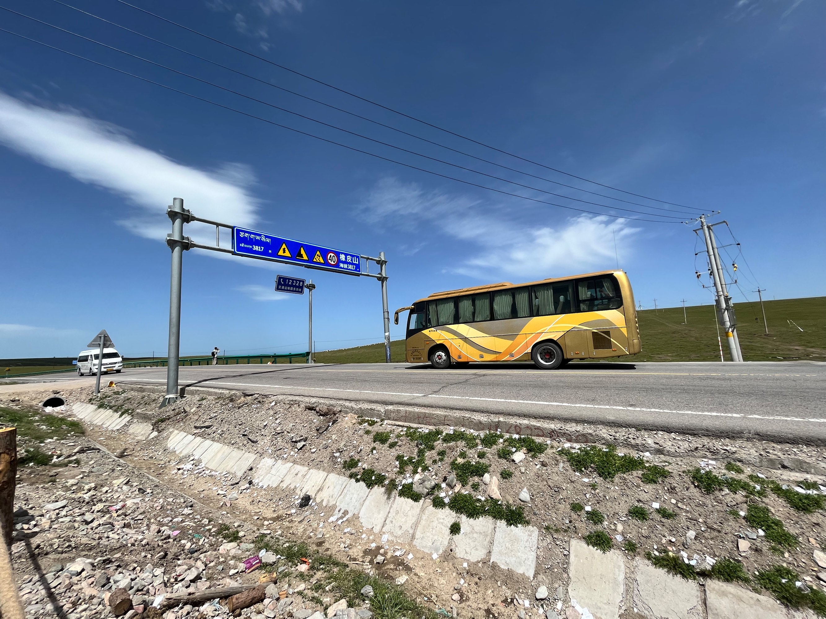
The afternoon of D2 was mainly spent driving to Chaka Town (near Chaka Salt Lake).
The highest point we passed was Xiangpi Mountain, with an altitude of 3817 meters.
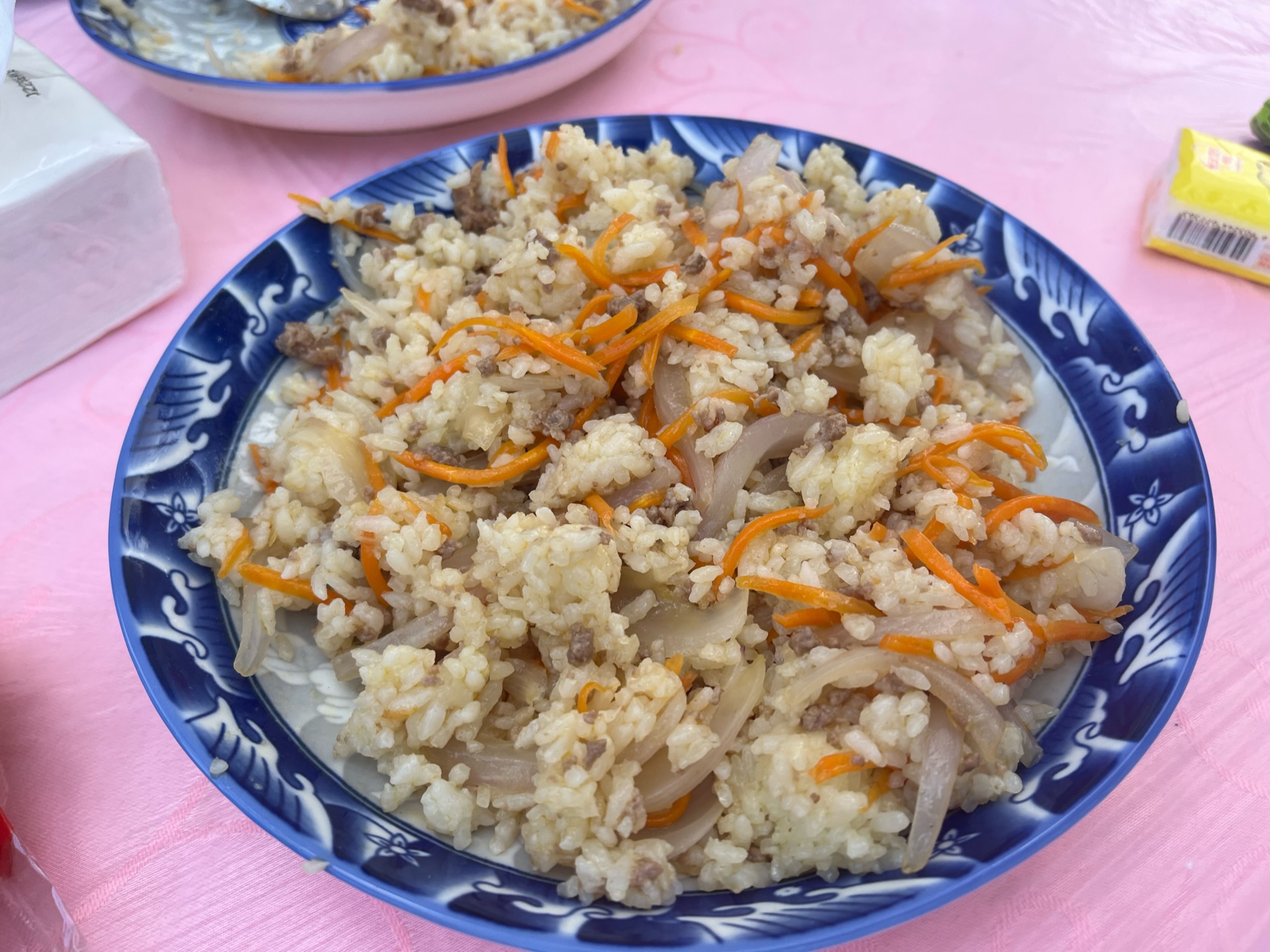
From this point onwards, our meals were basically whatever the driver ate. We had dinner on D2 at Yingcai Specialty Stir-fry and Pit-cooked Meat in Chaka Town. The driver recommended the off-menu lamb pilaf, which was affordable and generous. The other lamb and beef dishes were also quite good.
D4 Chaka Salt Lake, Emerald Lake
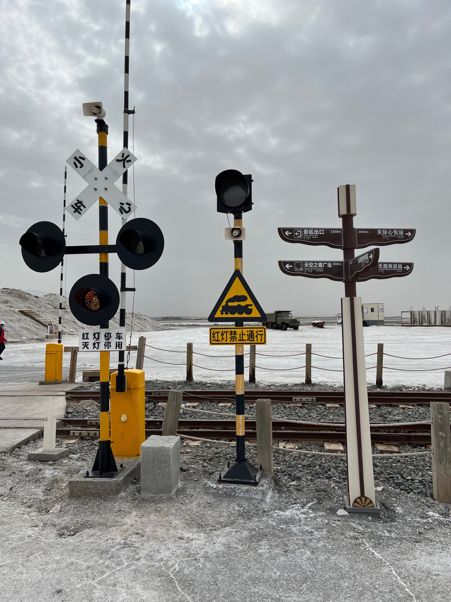
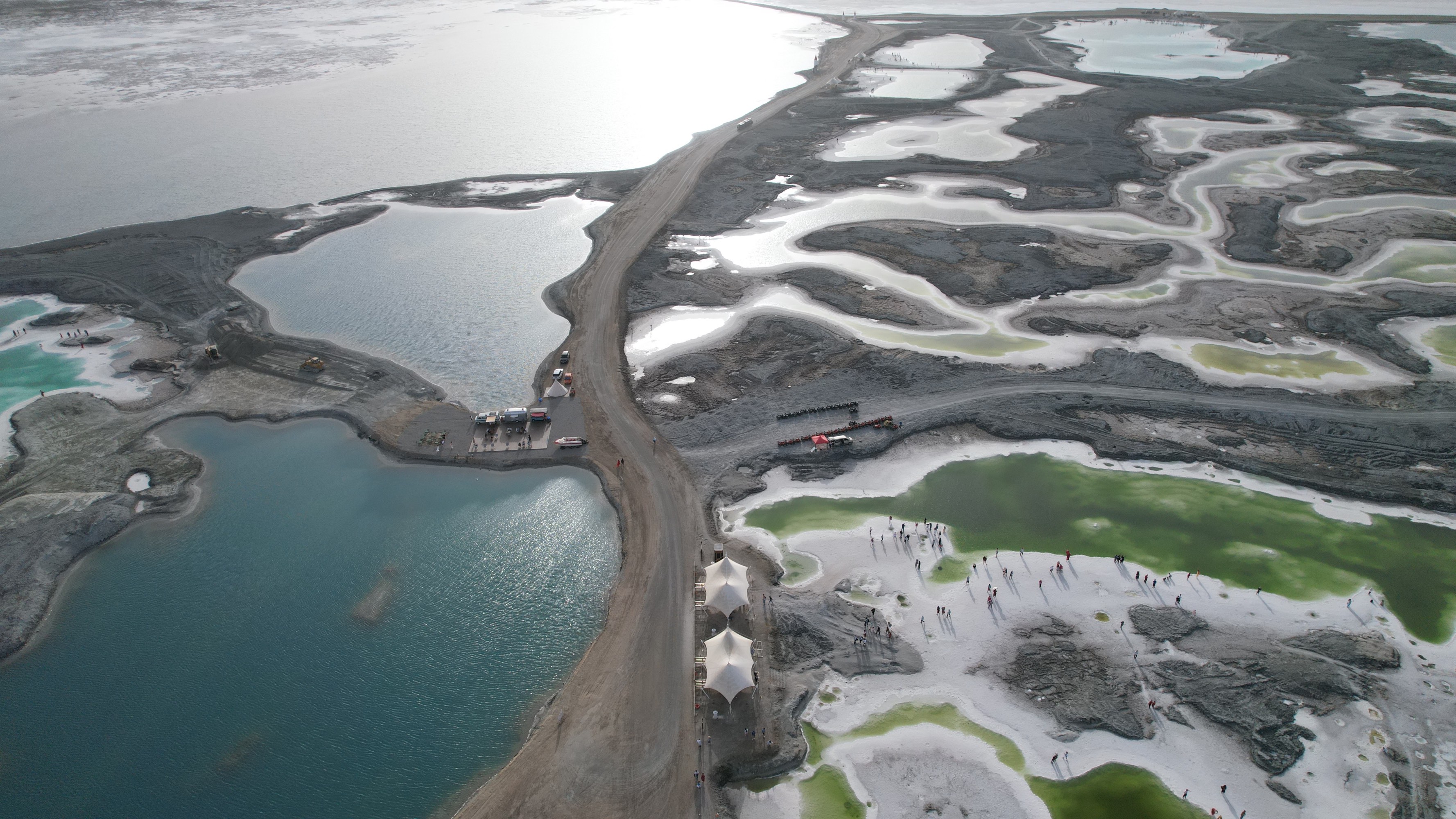
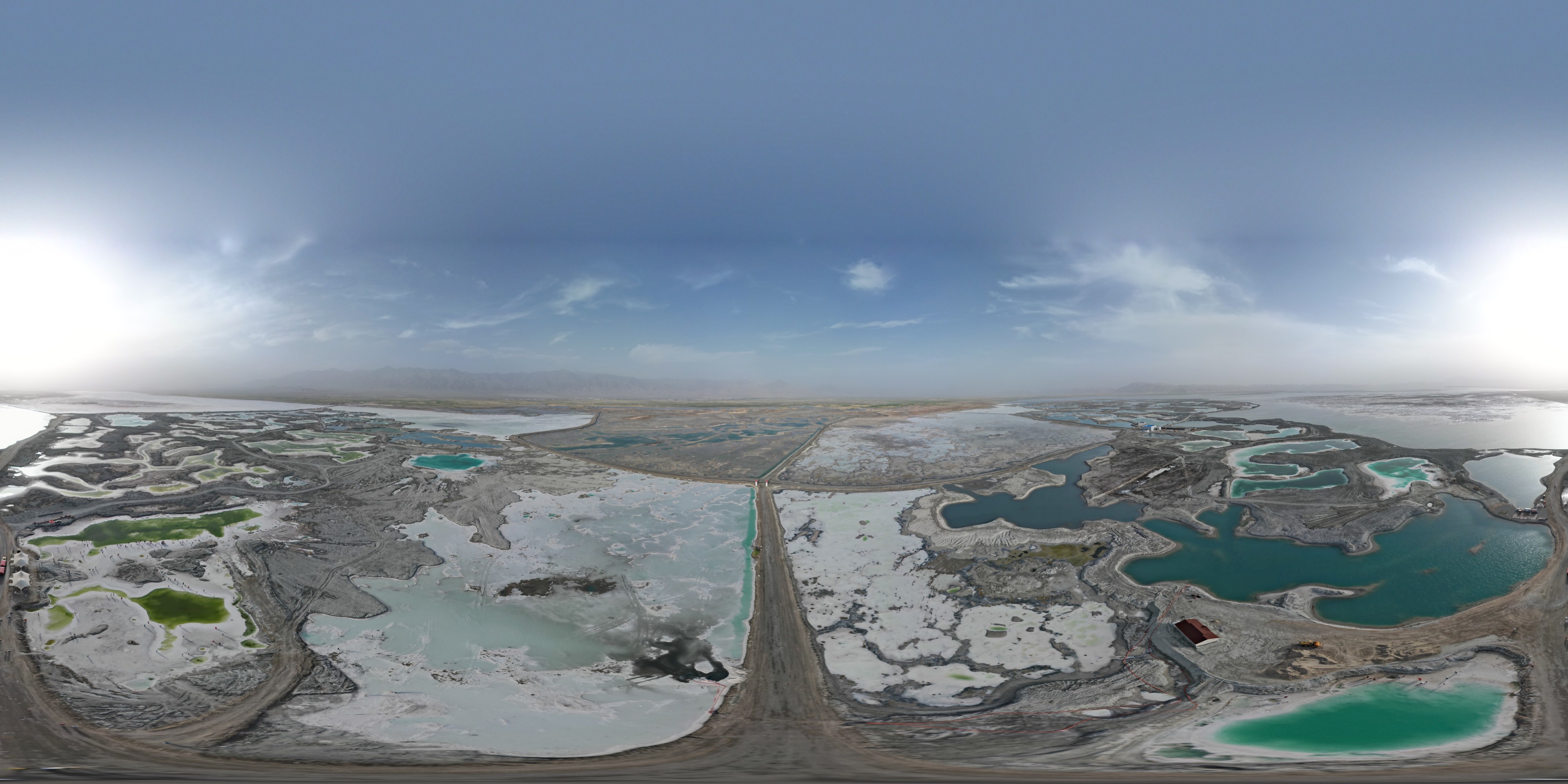
Chaka Salt Lake
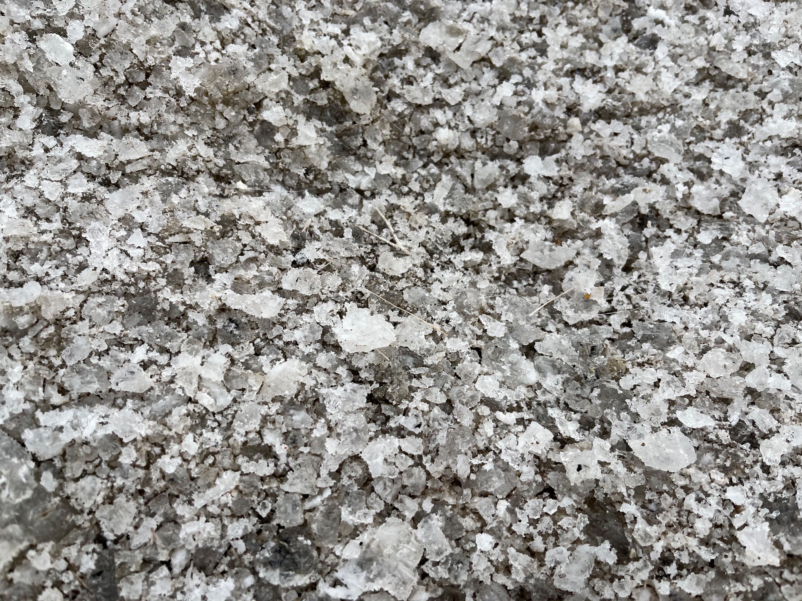
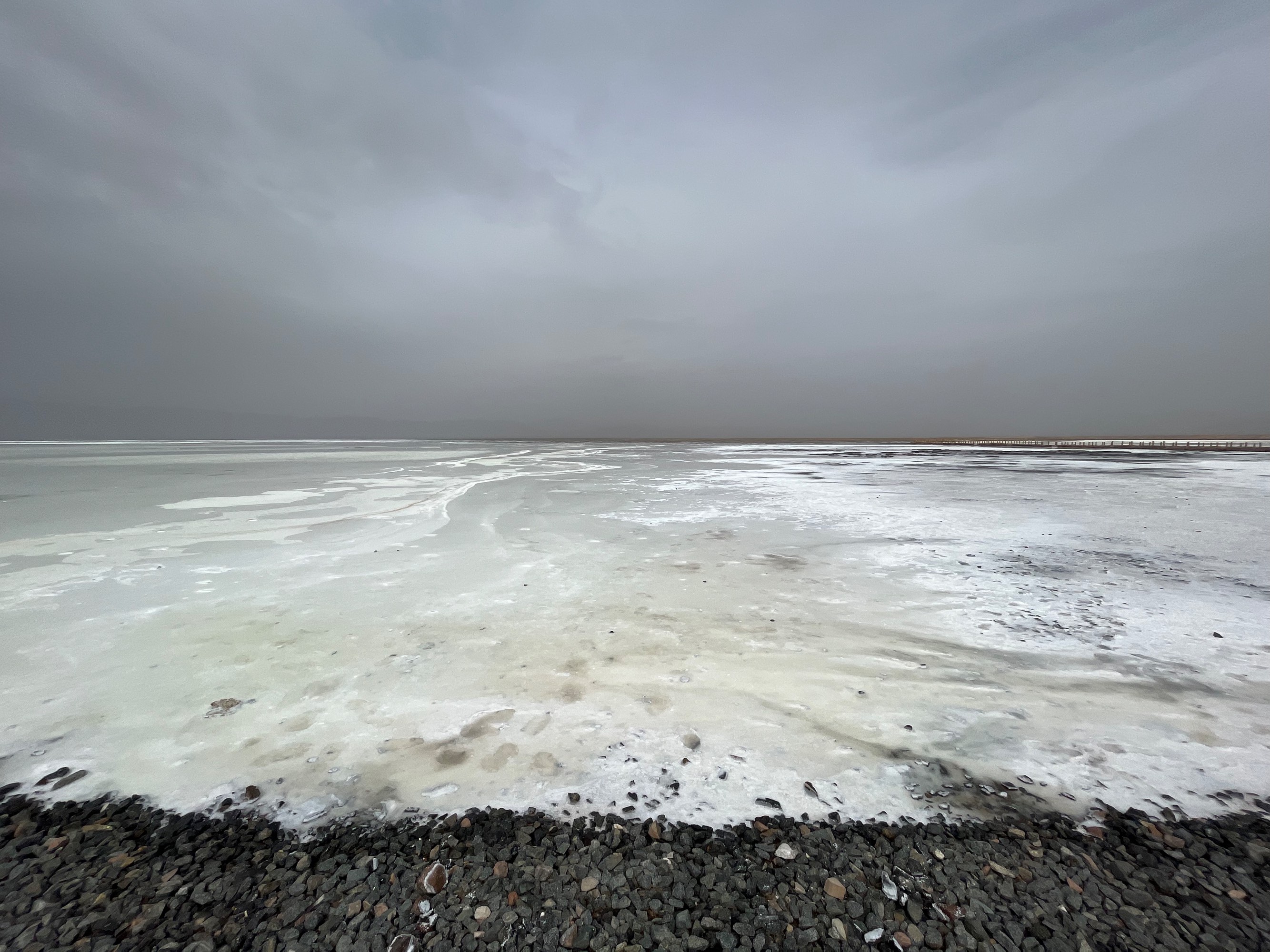
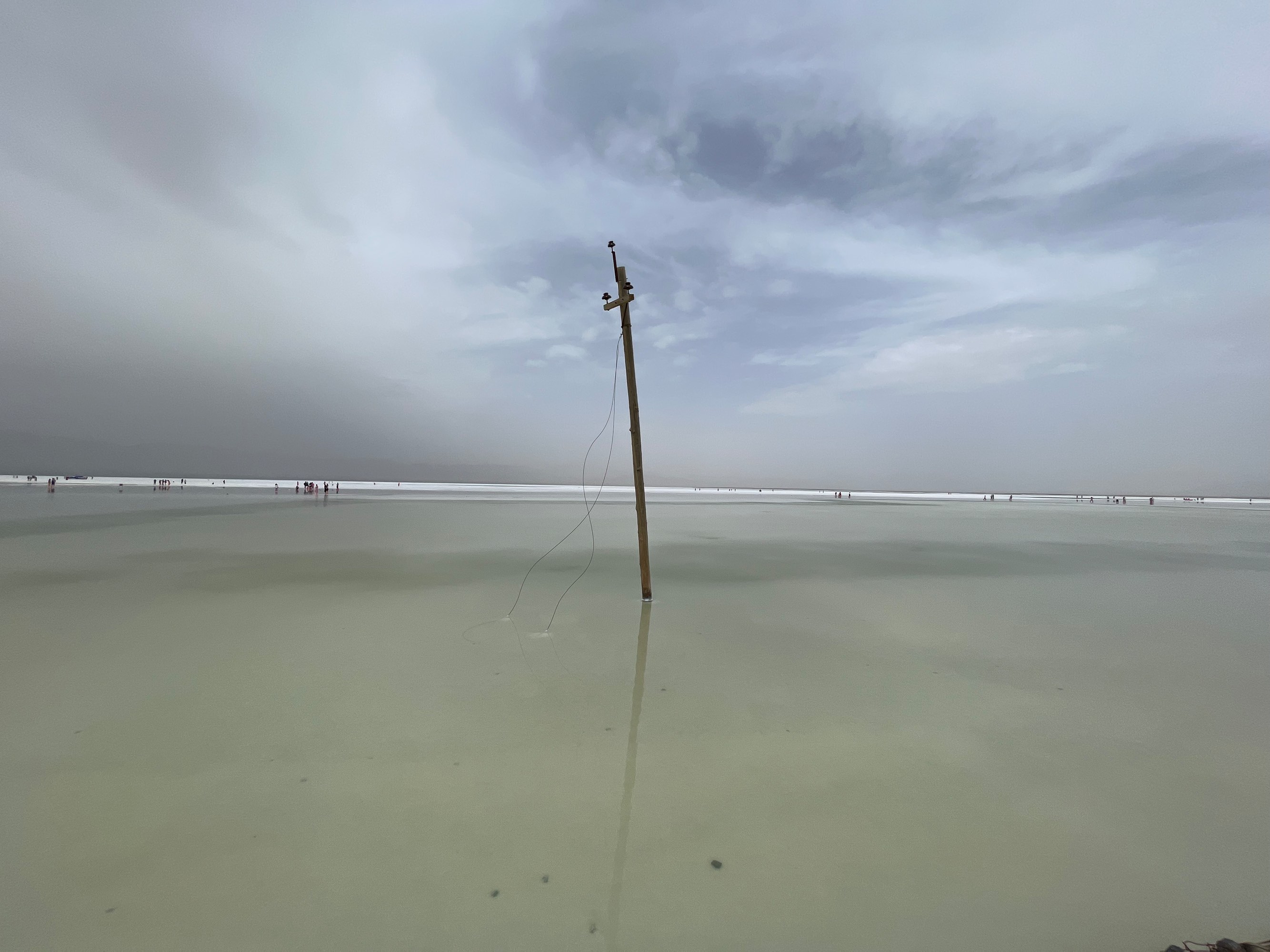
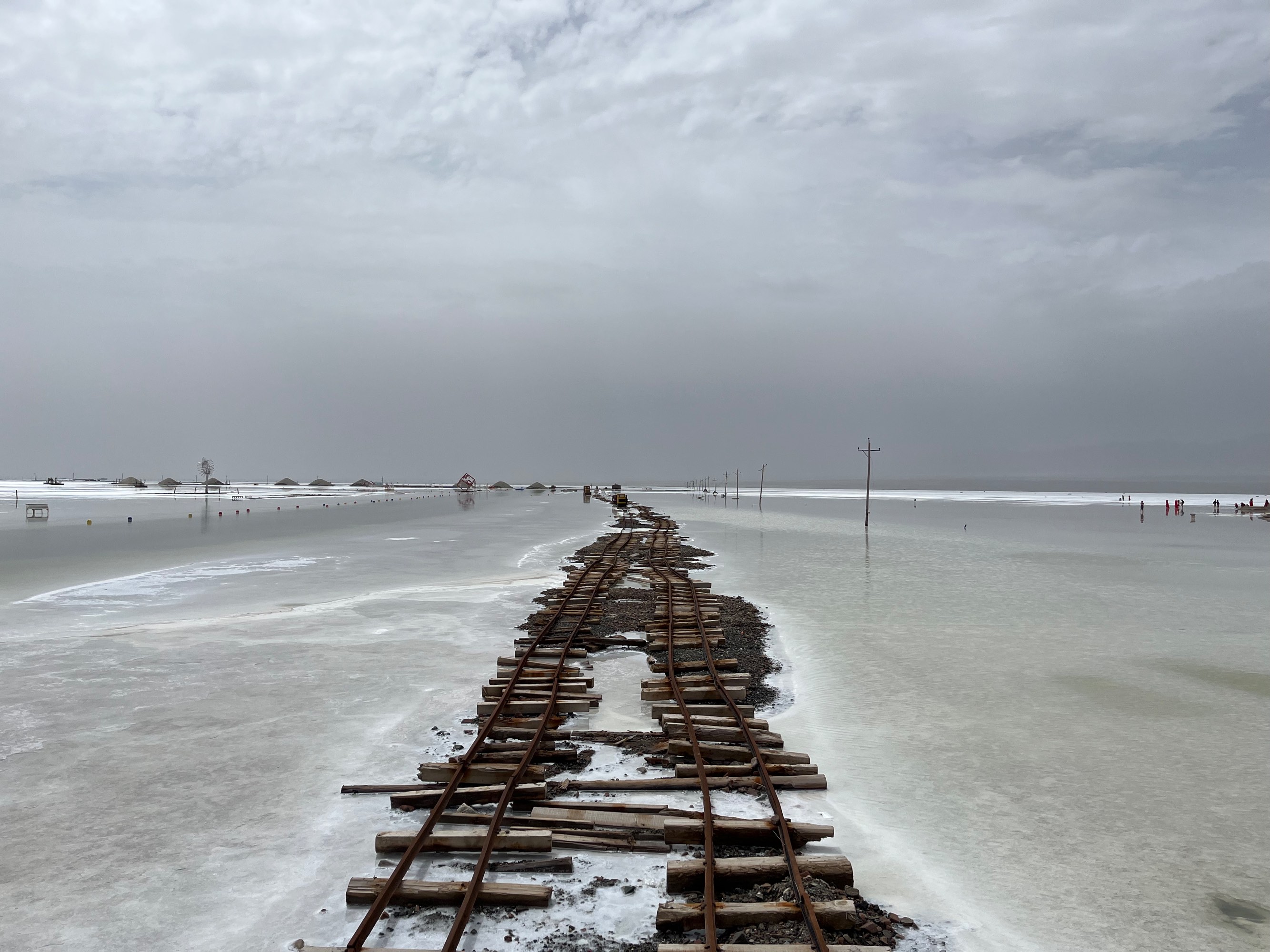
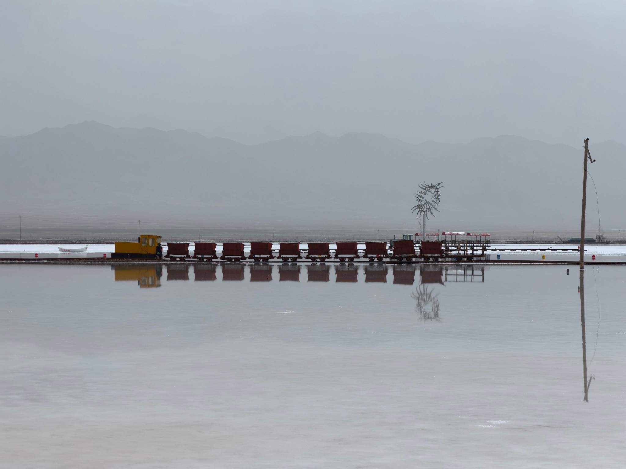
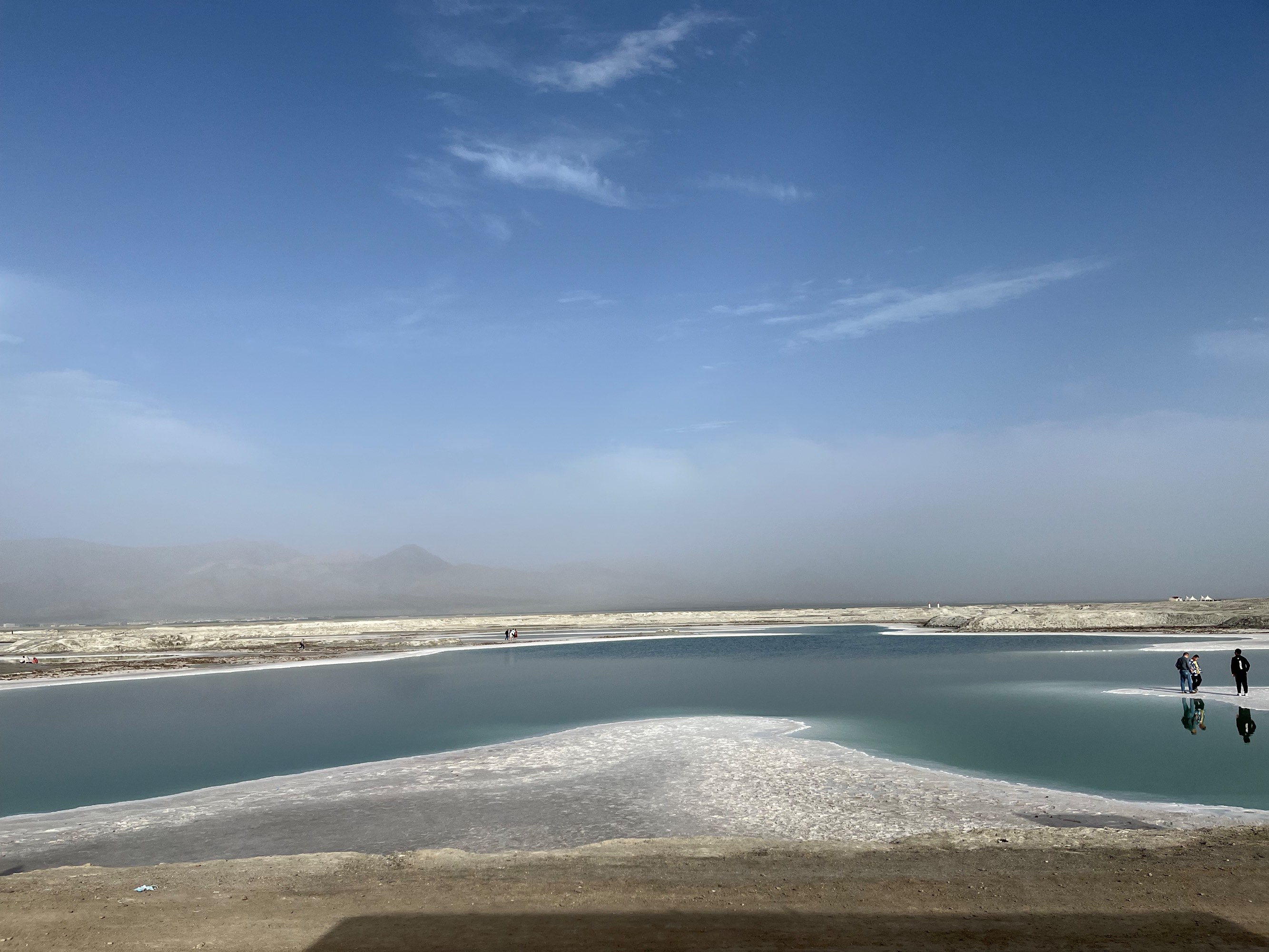
Chaka Salt Lake was originally an industrial base for salt production. It gained popularity around 2015 due to its white landscape. (Incidentally, a few days after our visit, Chaka Salt Lake was exposed by the media for charging for sightseeing cars, resulting in the scenic area canceling the 30 RMB ticket for the sightseeing car upon entry.)
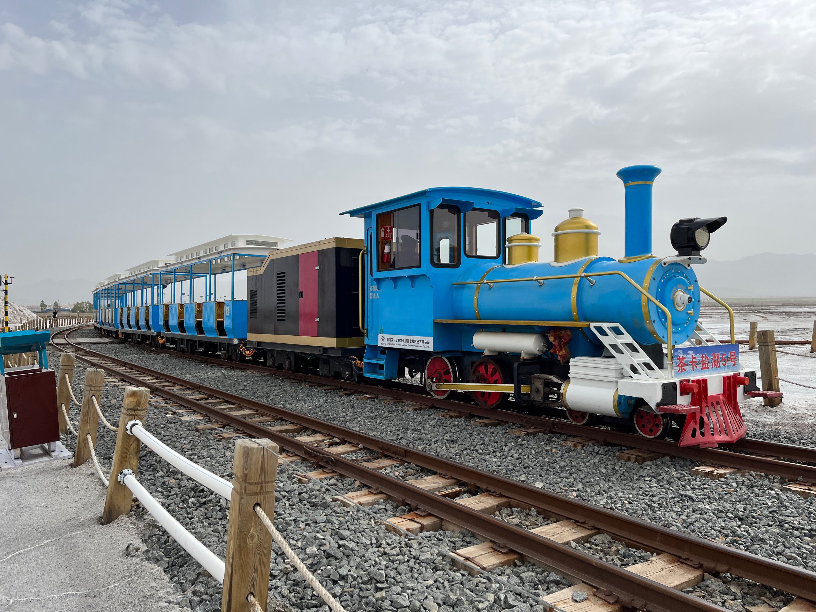
Visitors can walk on the salt lake. It’s recommended to purchase a combined ticket for the train and shoe covers (the 108 RMB one). The small train operates along the dam-like structure protruding in the map above. Since salt is white and reflects sunlight, even on a cloudy day like the one shown below, the light is still very intense. Bringing sunglasses would make the experience more comfortable.
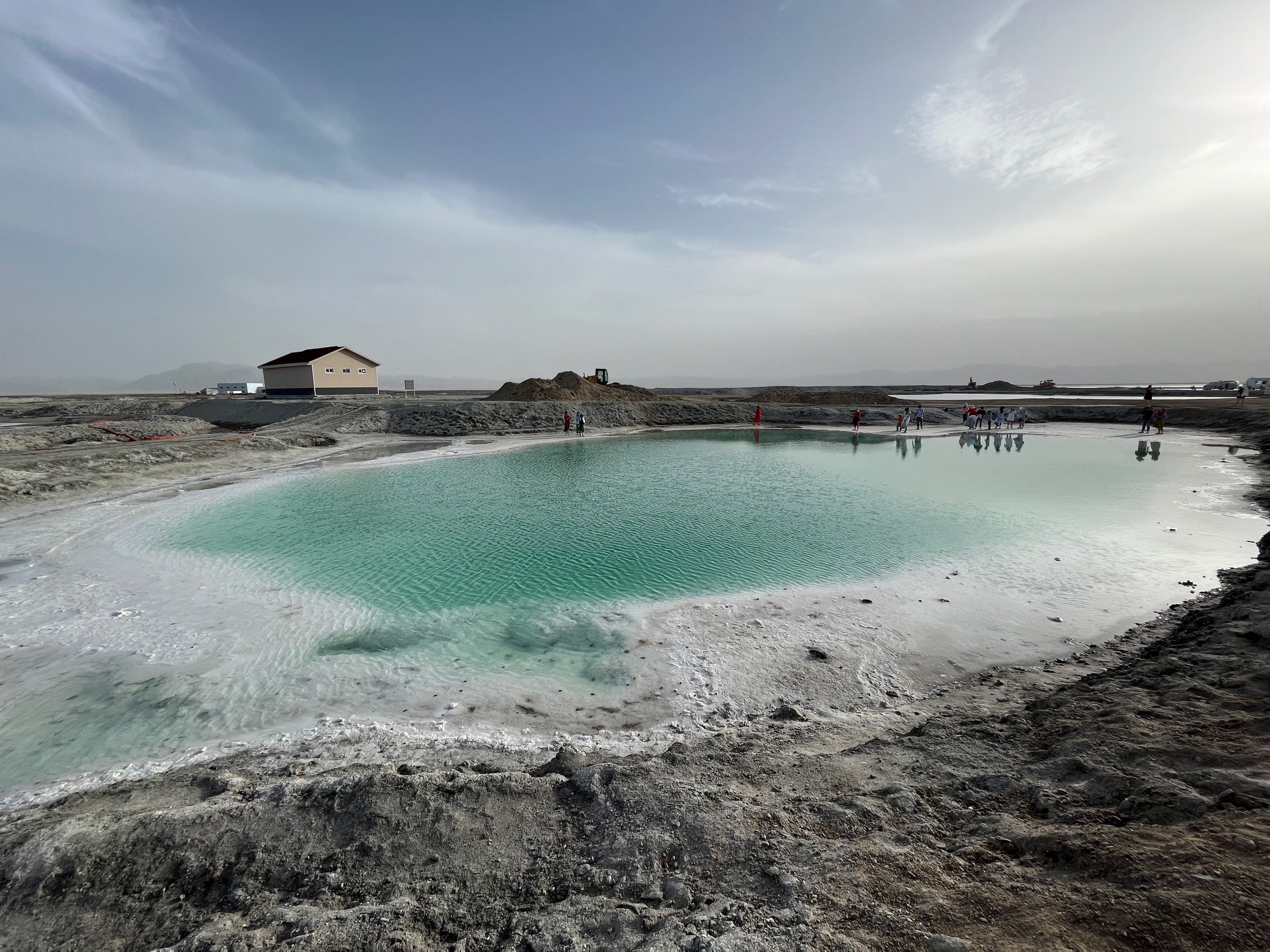
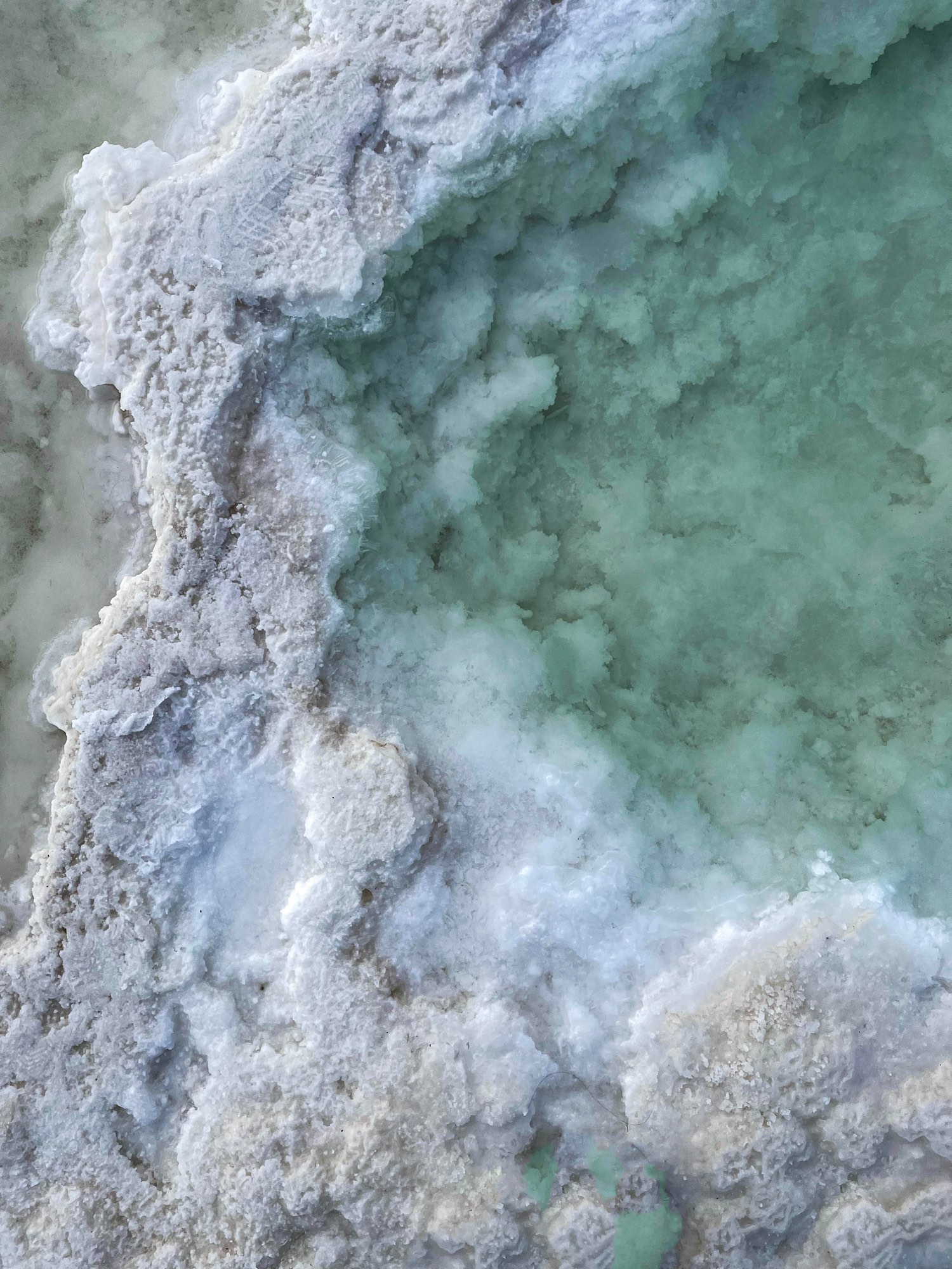
Emerald Lake
After lunch, the afternoon itinerary involved driving to Dachaidan and visiting Emerald Lake nearby. Emerald Lake is also a salt lake, but perhaps due to certain minerals in the lake, its water is more greenish or blue. We arrived at Emerald Lake close to 8 PM, with soft lighting. The photos turned out great if we focused on just the lake (due to the heavy dust in the air, even during sunset, the sky appeared pale).
We had dinner at Yagubai Roasted Lamb in Dachaidan, which offered some barbecue and pit-cooked dishes.
D5 U-shaped Highway, Water Yadan, Yadan Landforms
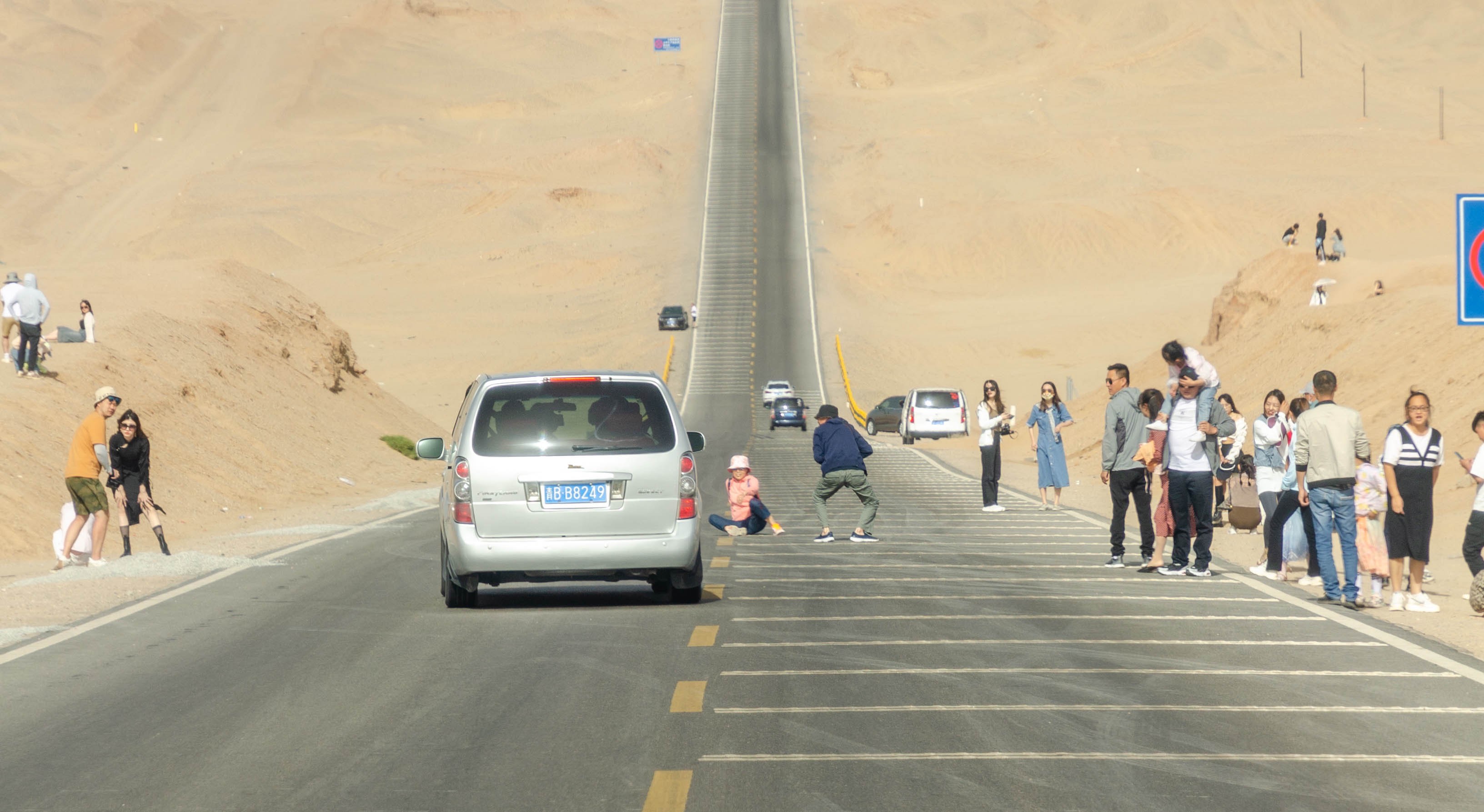
U-shaped Highway
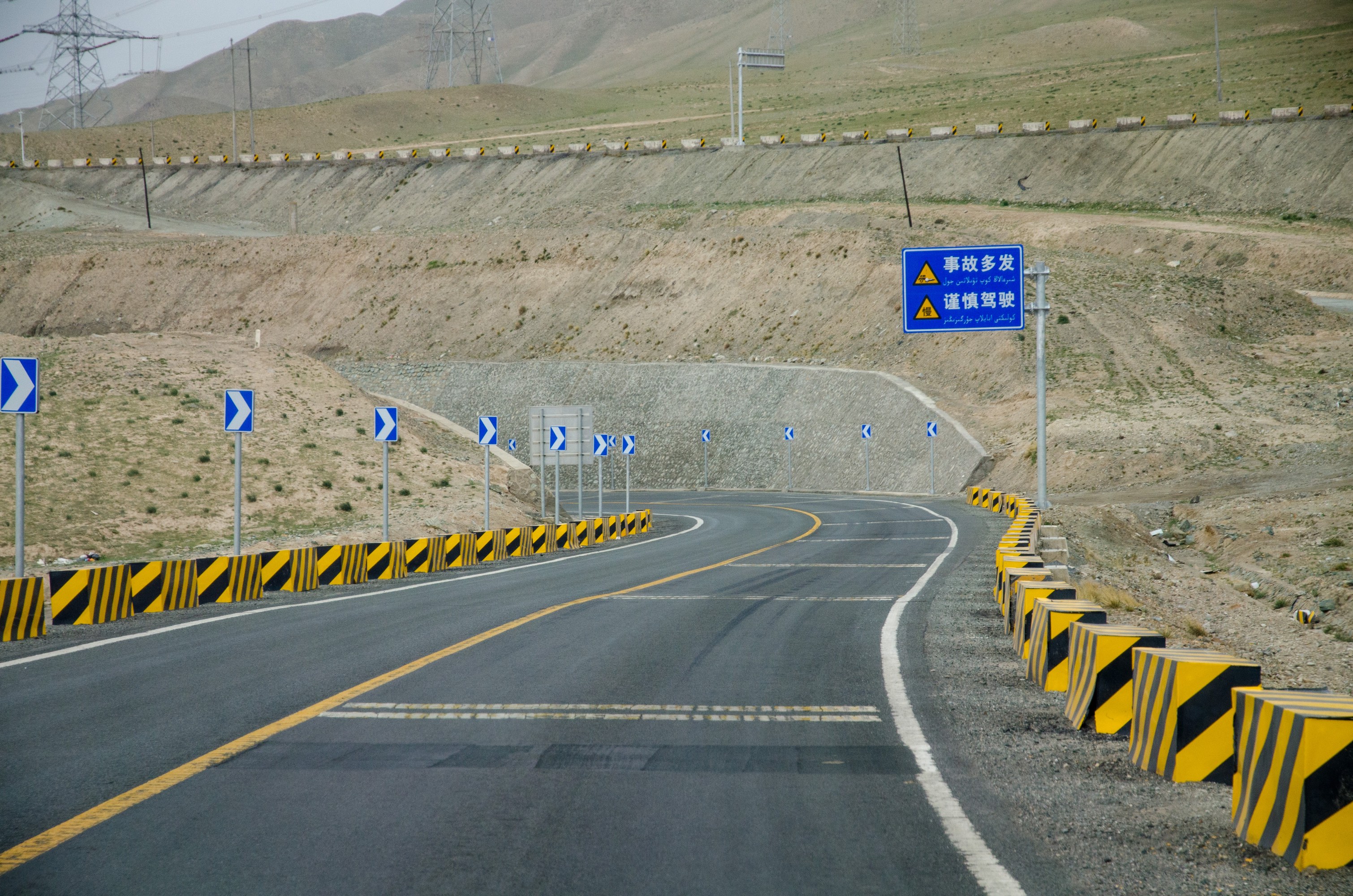
This day’s route was a loop, with our accommodation still in Dachaidan. We first passed by the U-shaped highway, essentially a road with very sharp vertical bends. It seems to have gained popularity on platforms like Xiaohongshu. Here’s a photo:
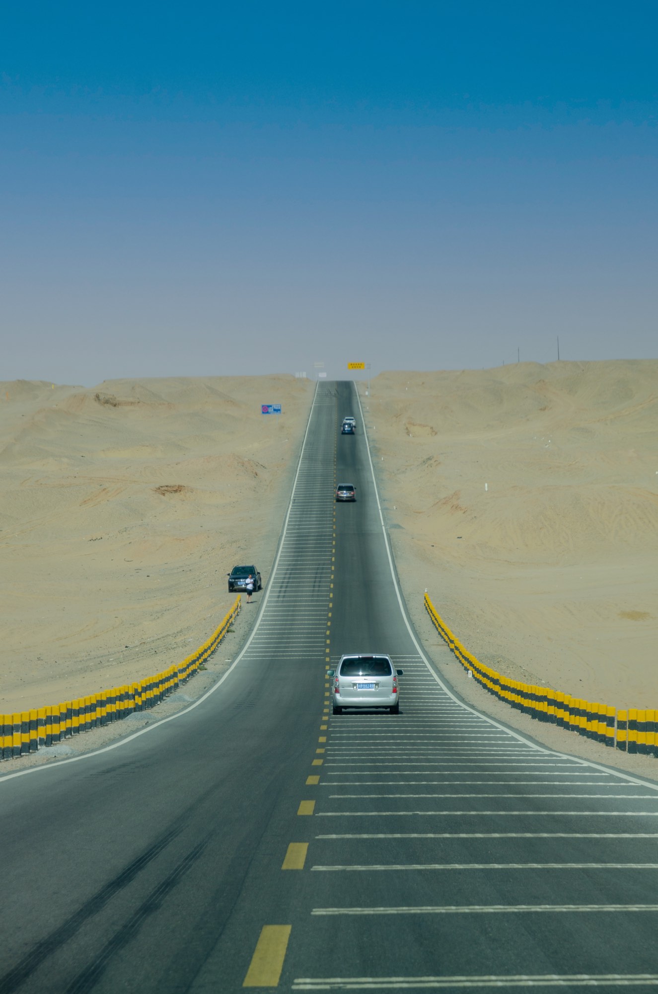
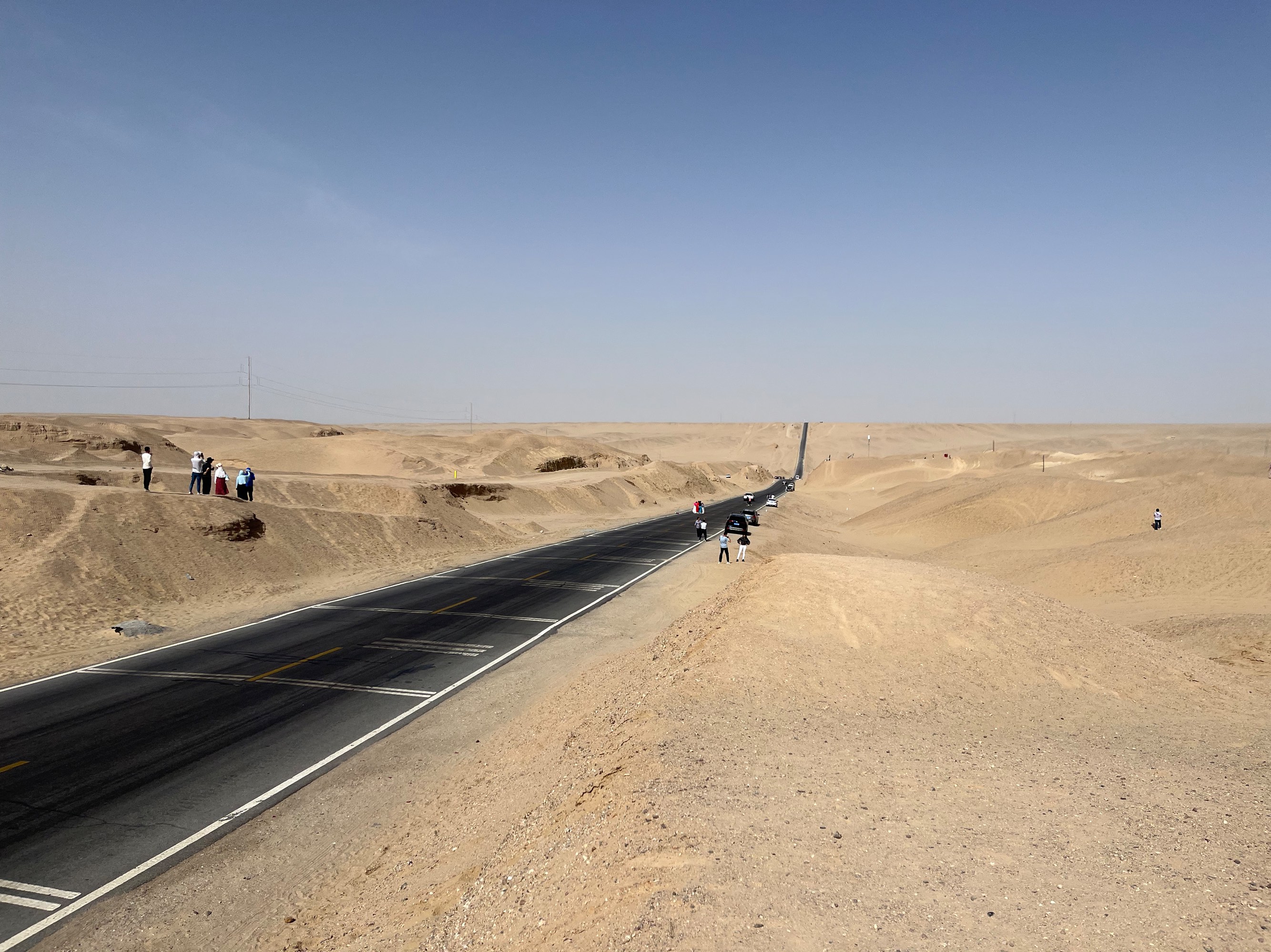
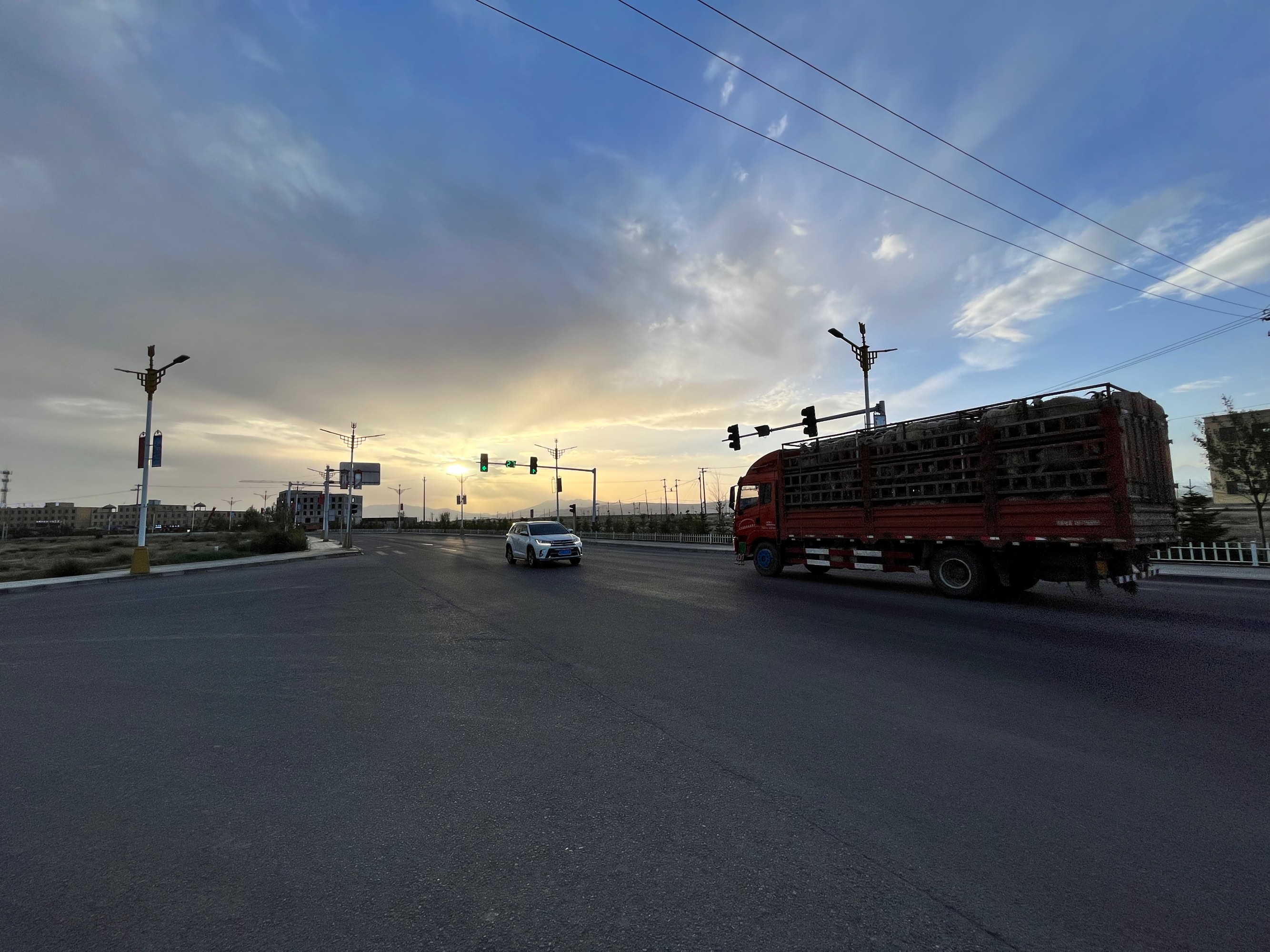
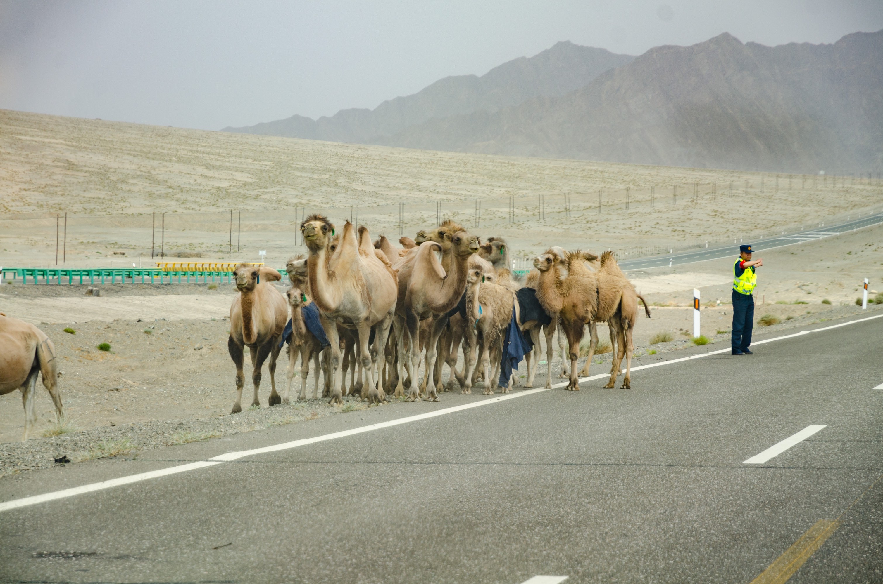
Up close, we saw many daring tourists standing in the middle of the road taking pictures. Numerous large trucks, perhaps frightened, kept honking their horns as they passed through this section (very scary, bro .webp).
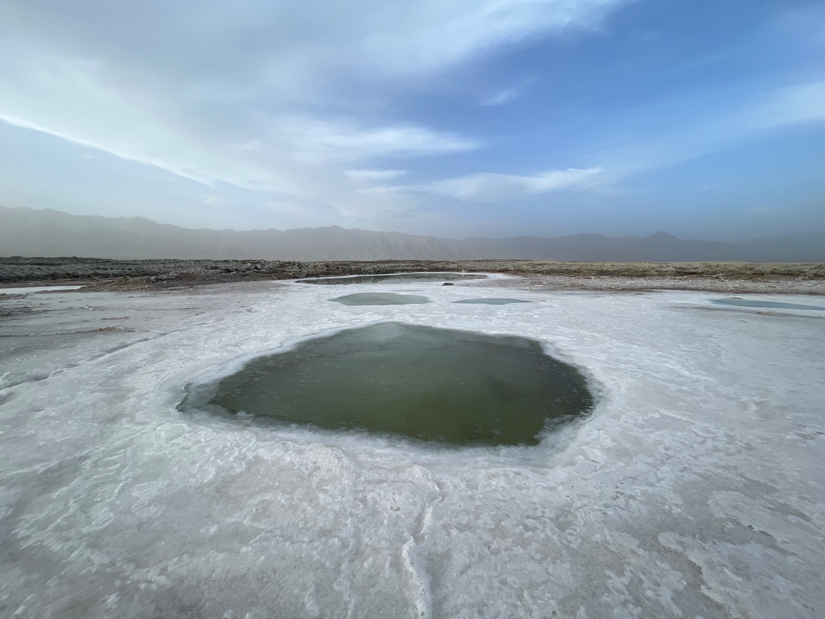
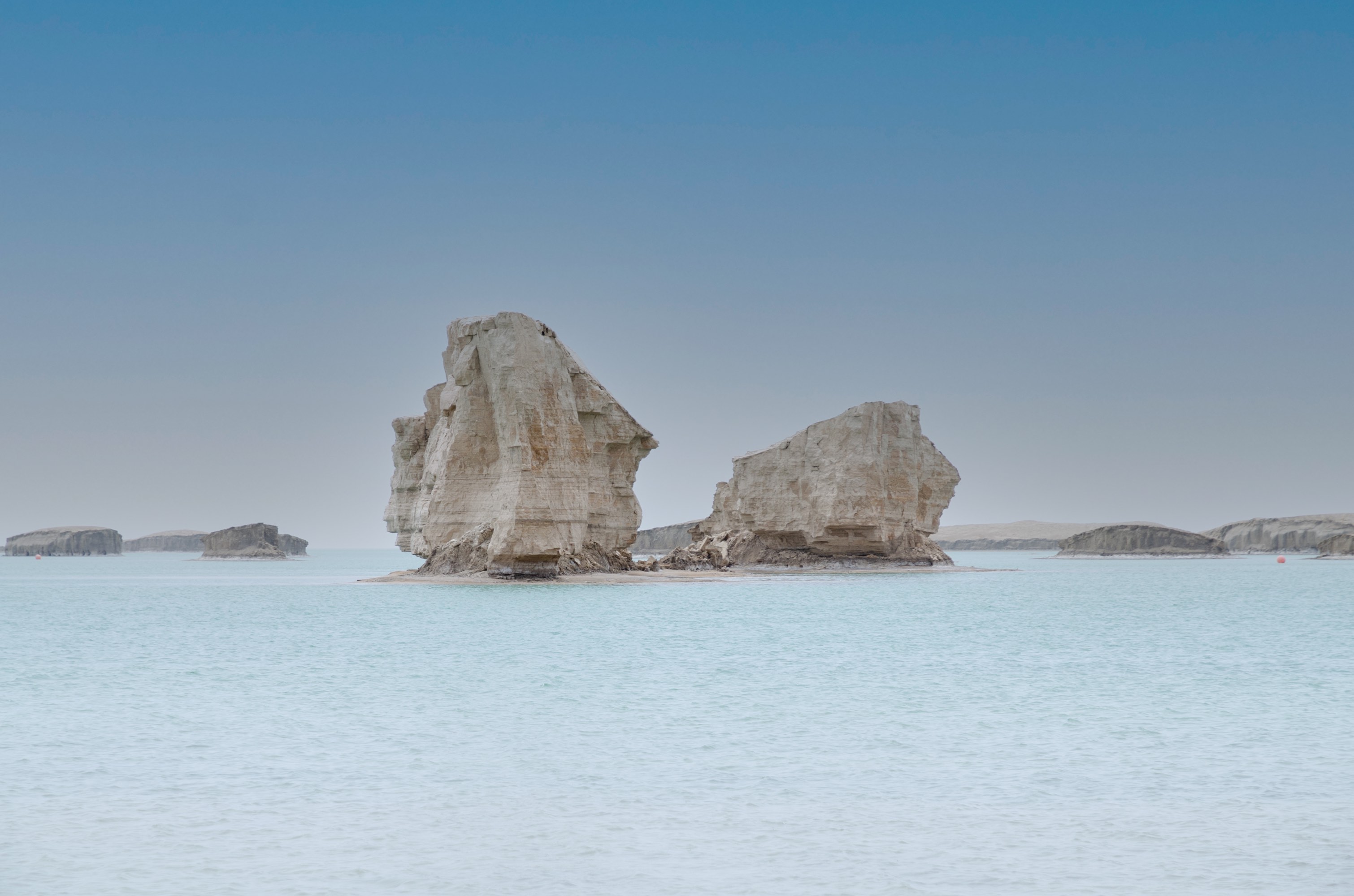
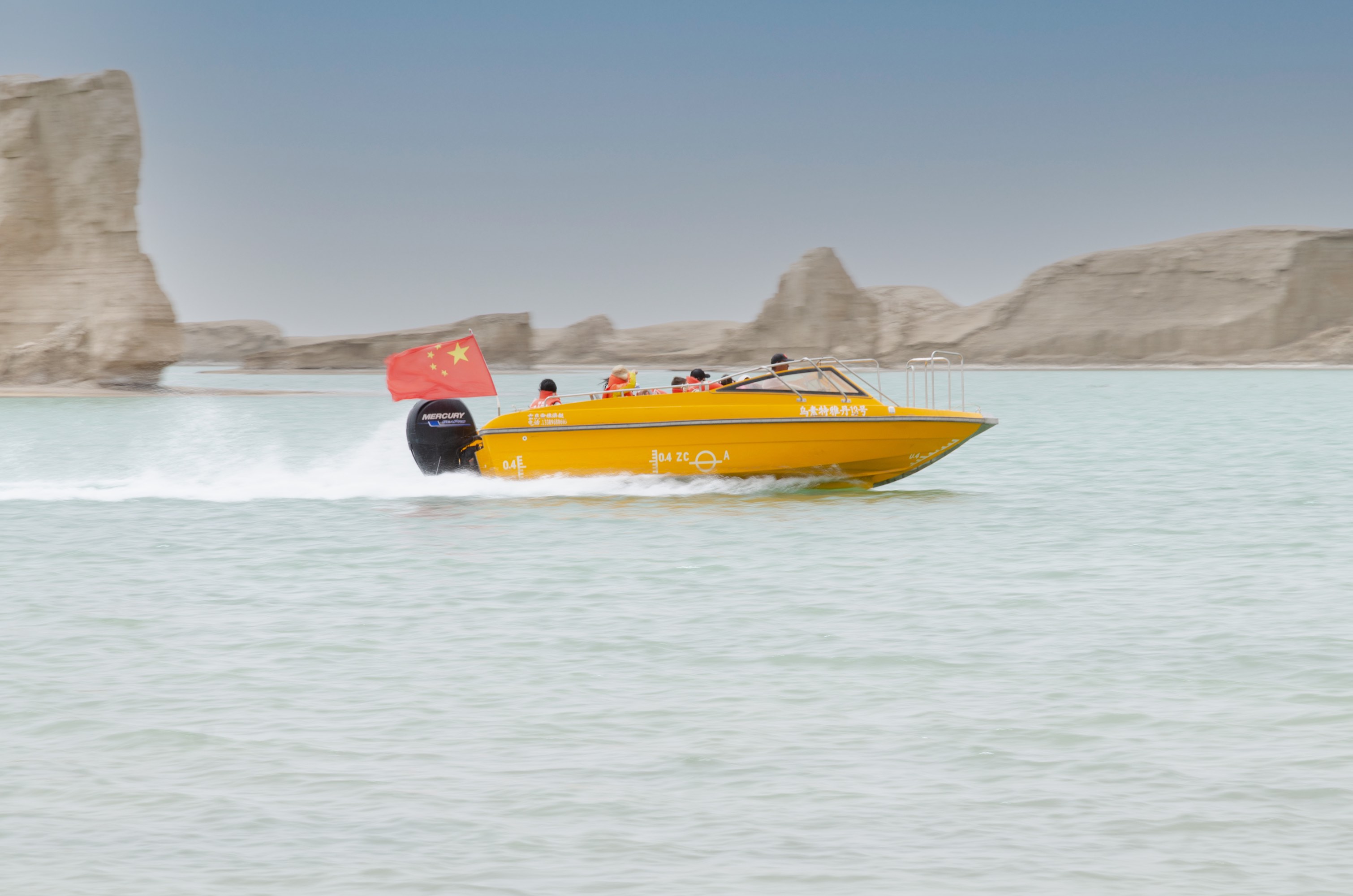
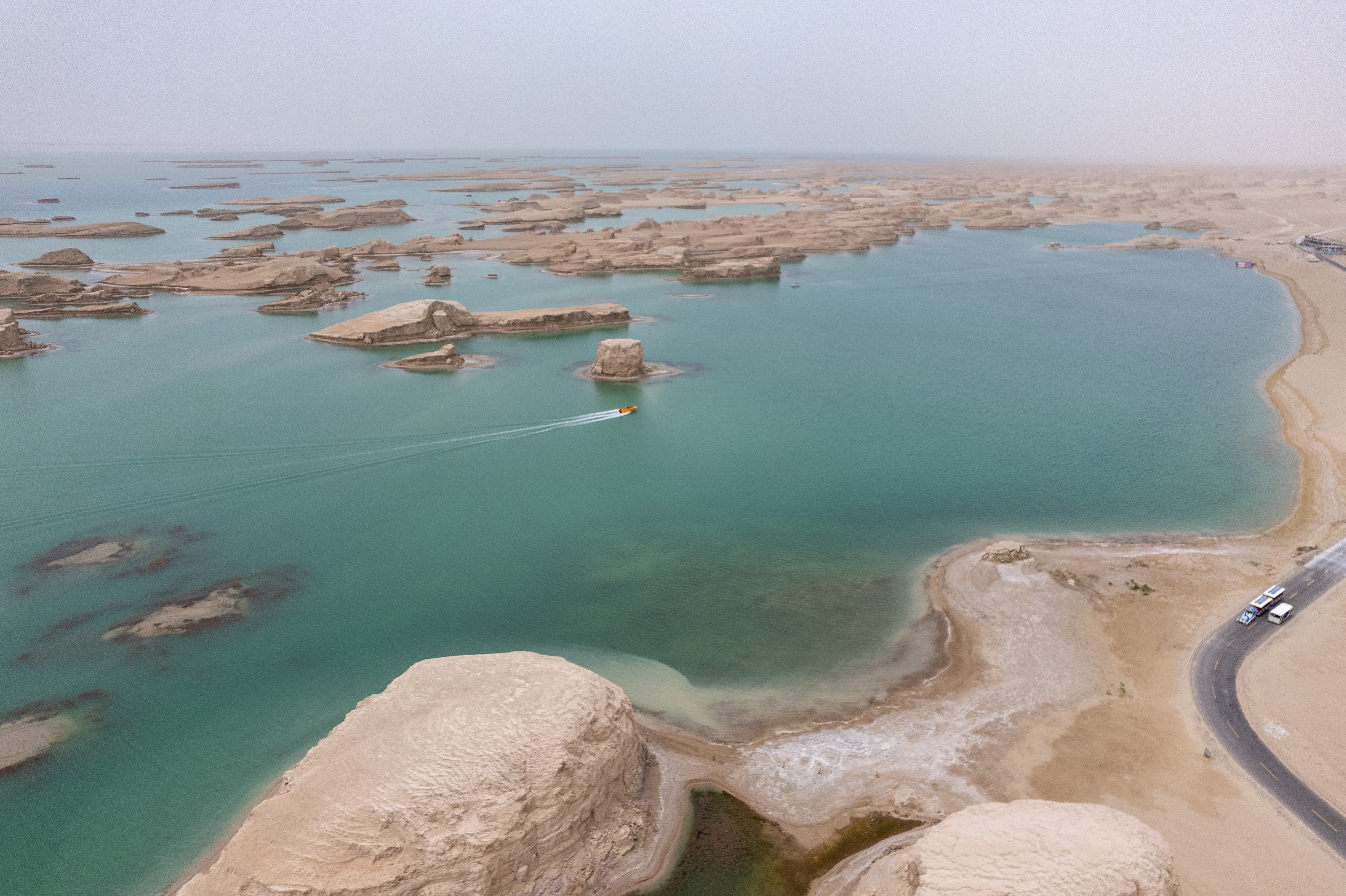
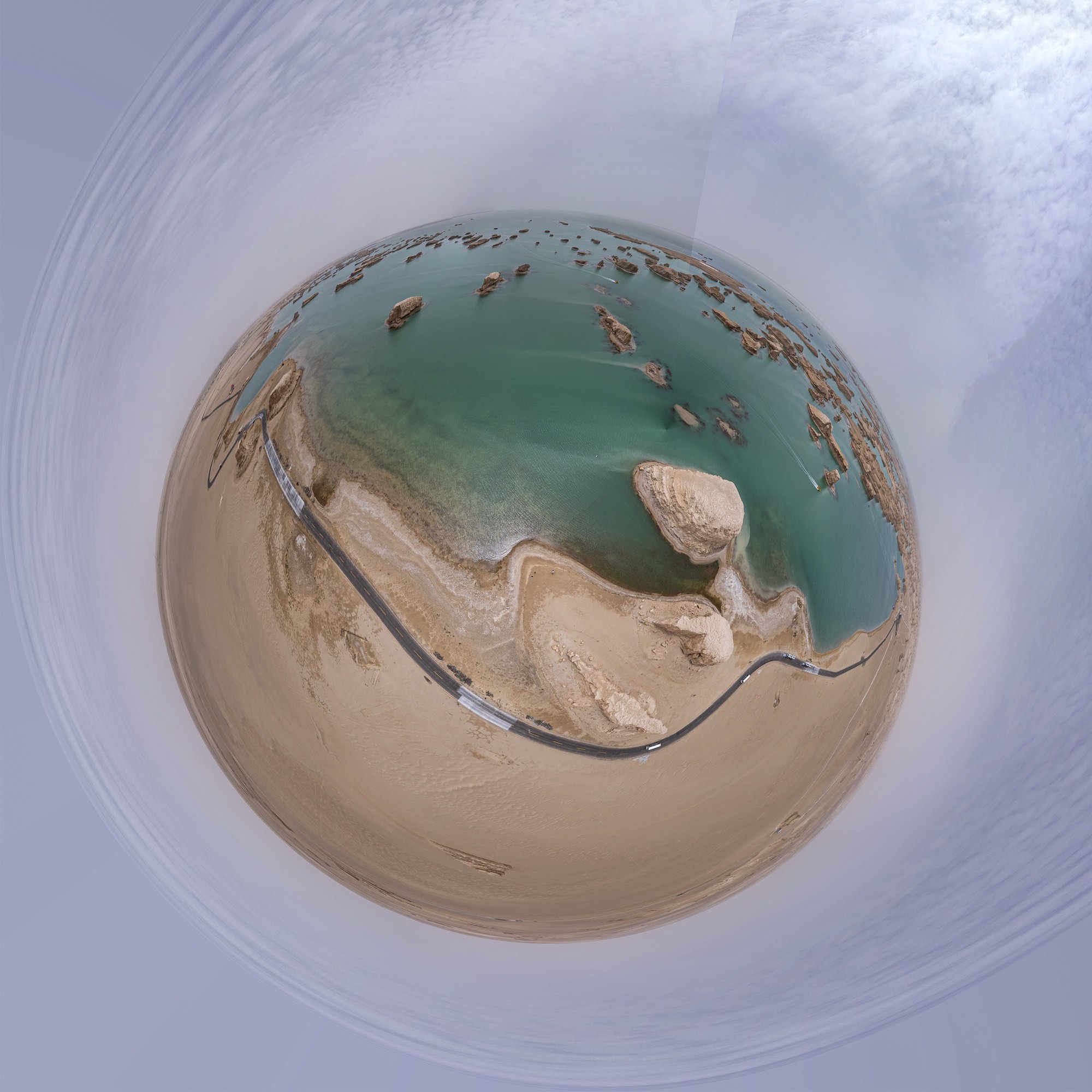
Water Yadan
Water Yadan, as the name suggests, is a combination of Yadan landforms and water. The water seems to have accumulated due to the diversion of nearby rivers. With no outflowing rivers, Water Yadan is also a saltwater lake, with a light blue color similar to Emerald Lake.
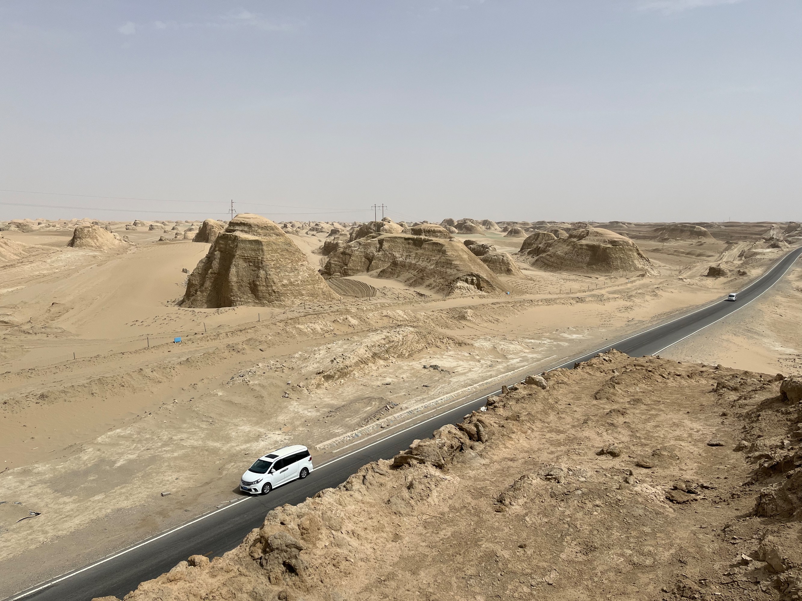
Yadan Landforms
These are the typical Yadan landforms on land, commonly seen along the S314 highway on our return journey.
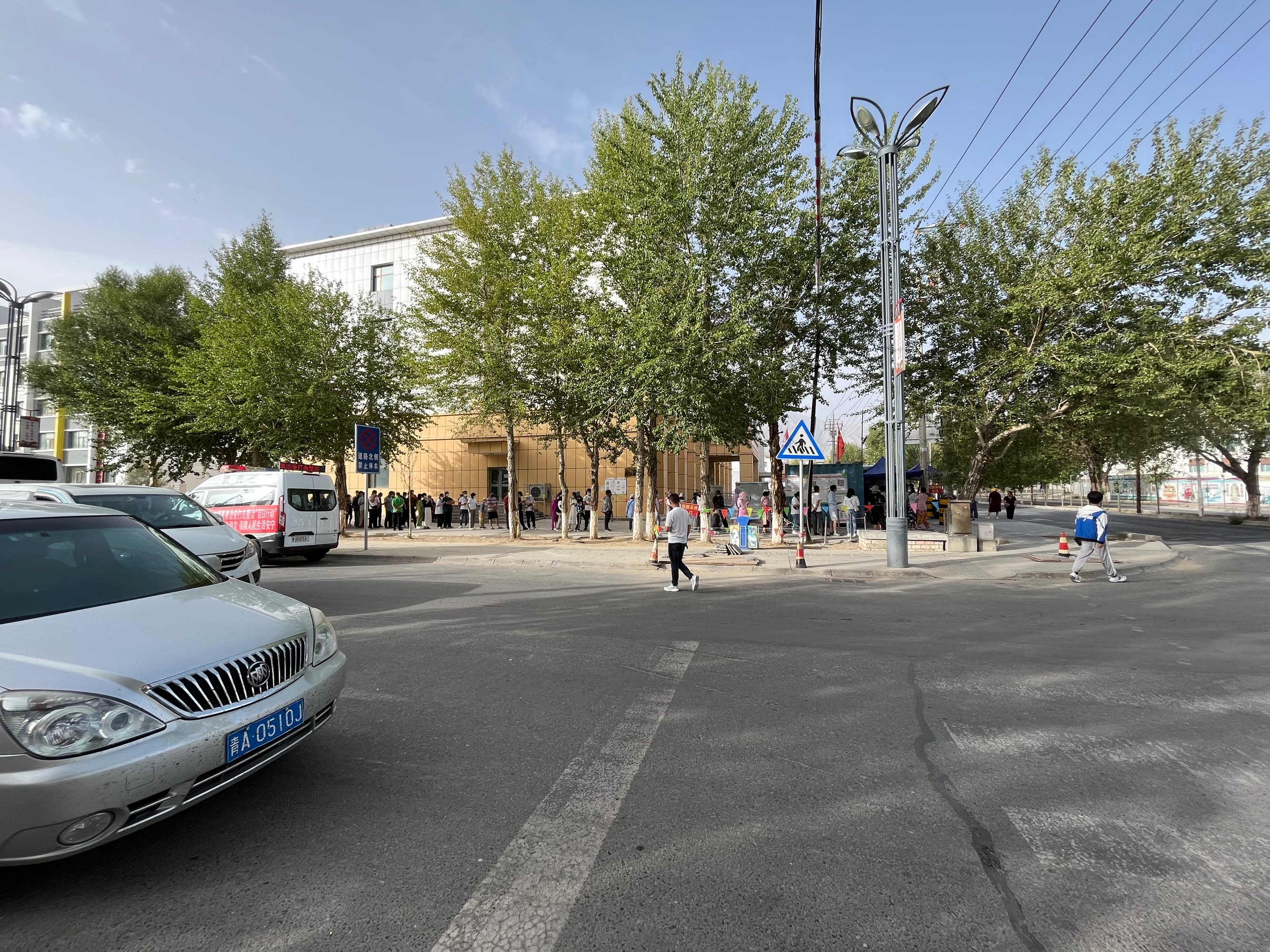
Since we were entering Gansu the next day, we took a nucleic acid test at Dachaidan People’s Hospital in the afternoon of D5. The mixed testing cost 5 RMB.
D6 Dachaidan-Dunhuang, Yangguan Pass, “Encore Dunhuang” Show
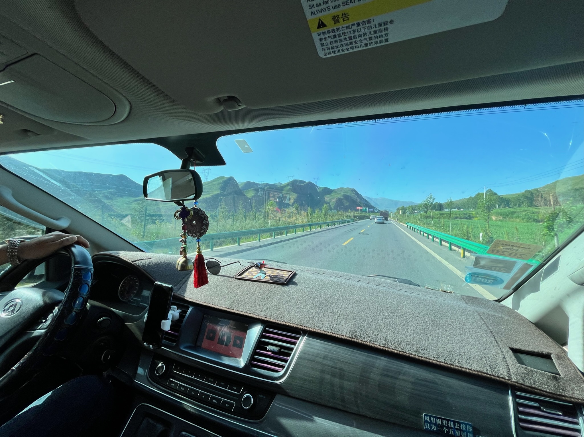
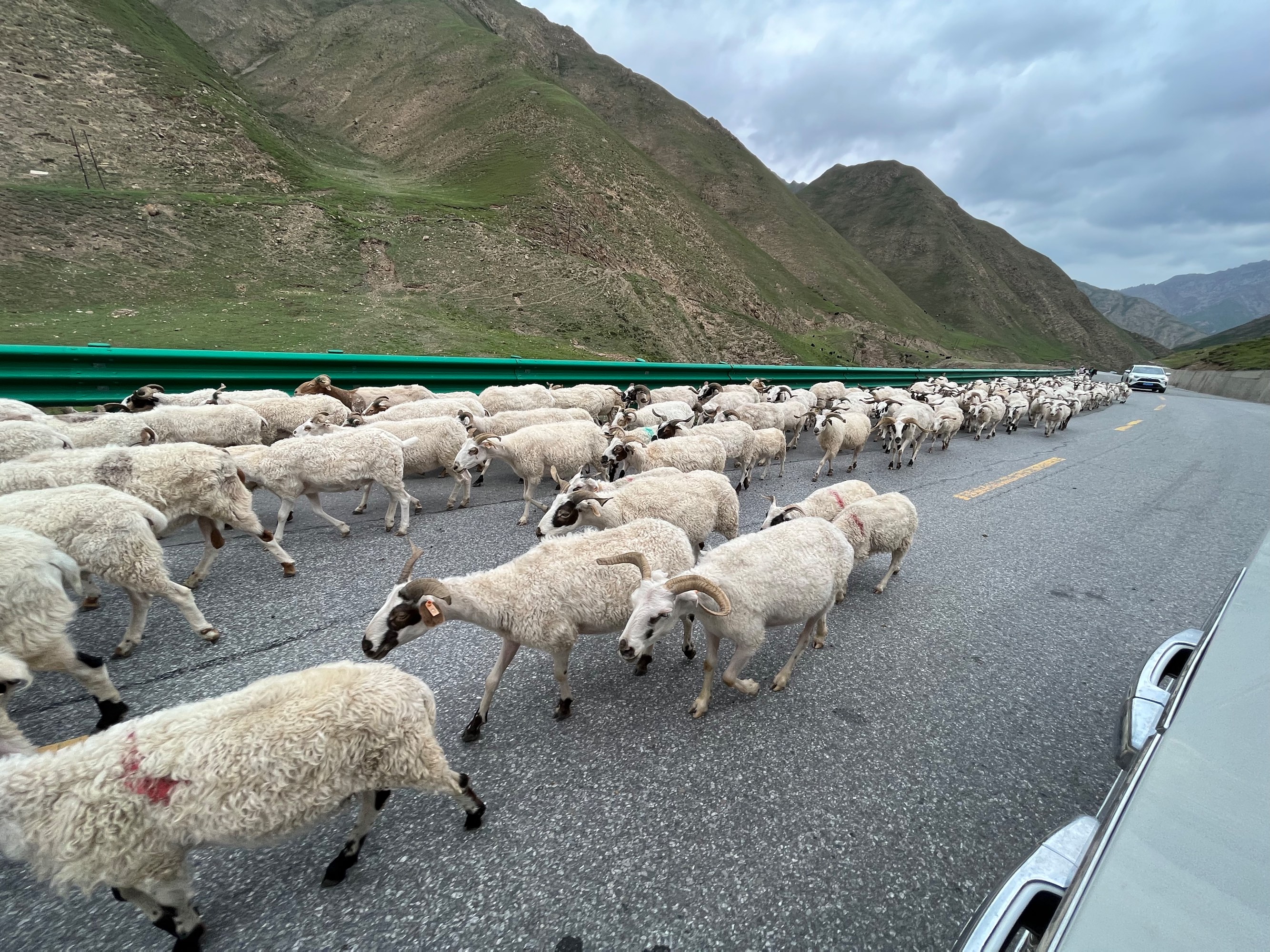
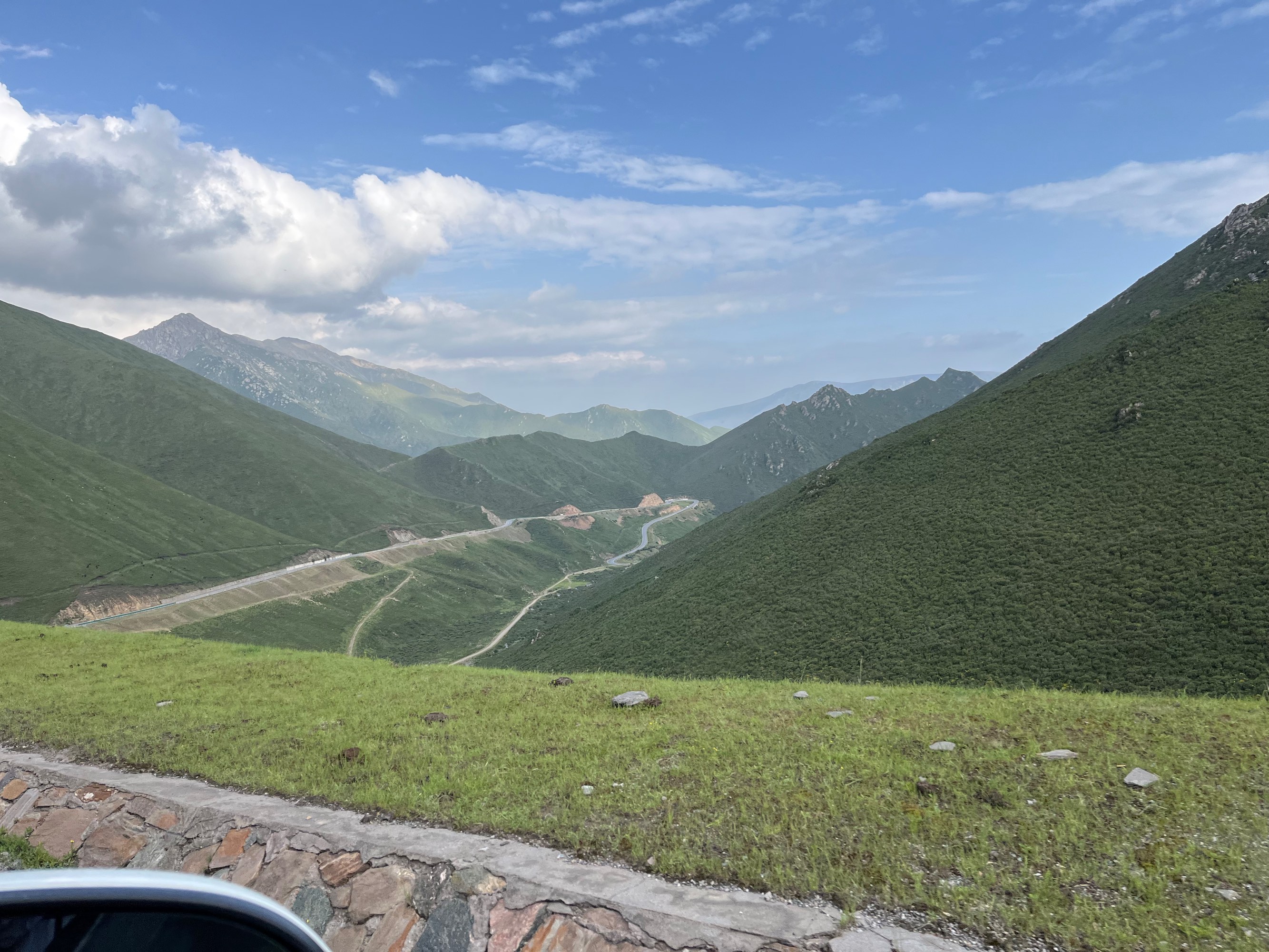
We spent most of the day on D6 driving, mainly enjoying the scenery along the way.
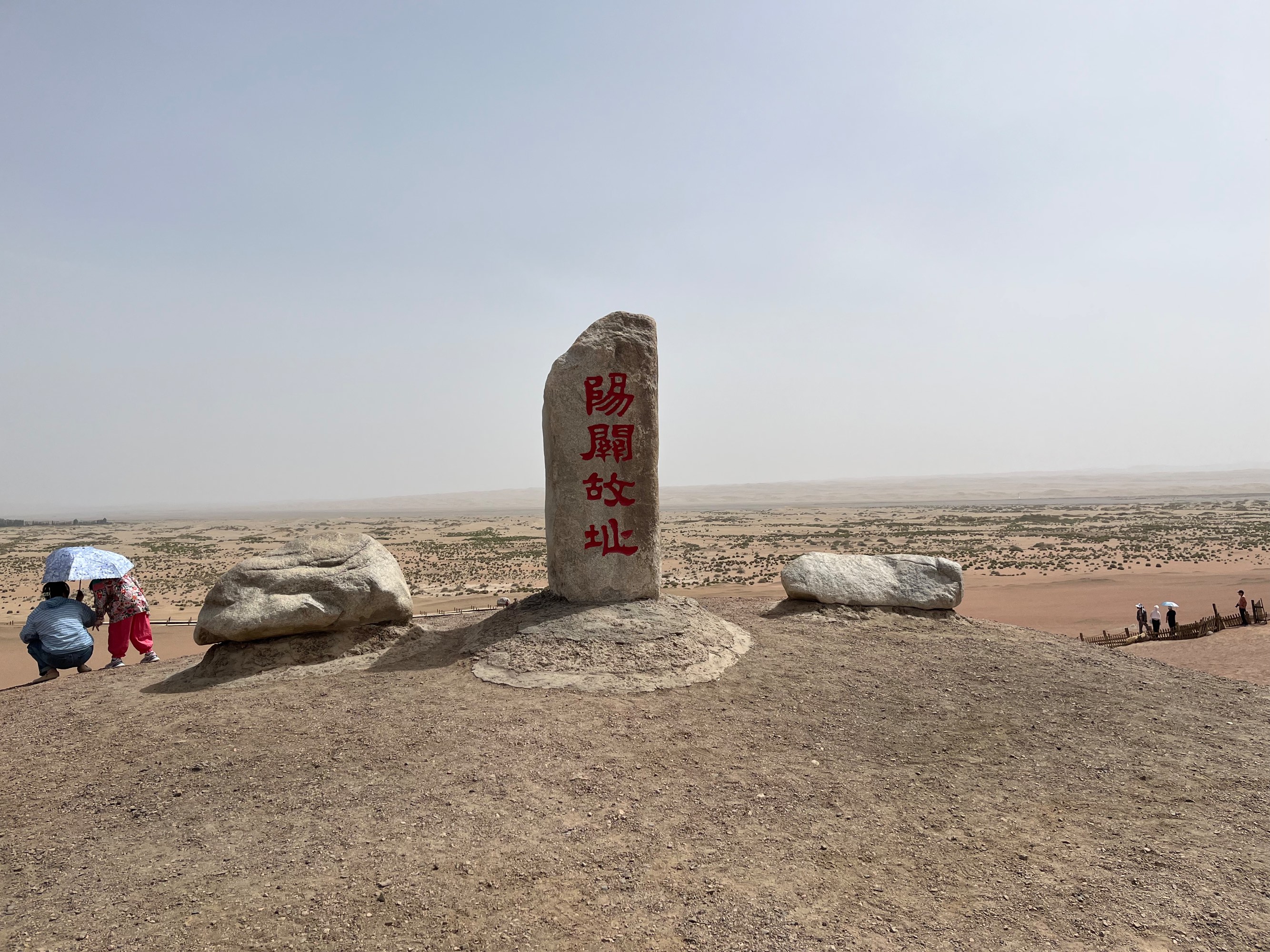
Yangguan Pass
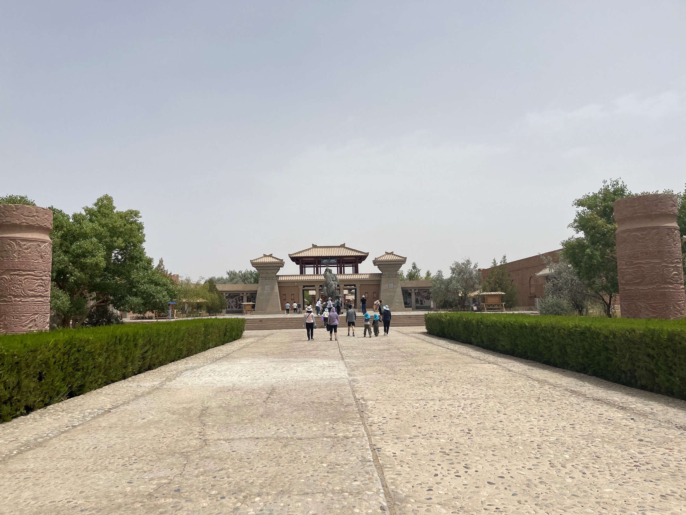
After arriving in Dunhuang in the afternoon, we visited Yangguan Pass. Apart from a few beacon tower ruins, the Yangguan scenic area is mostly comprised of newly constructed buildings:
![]()
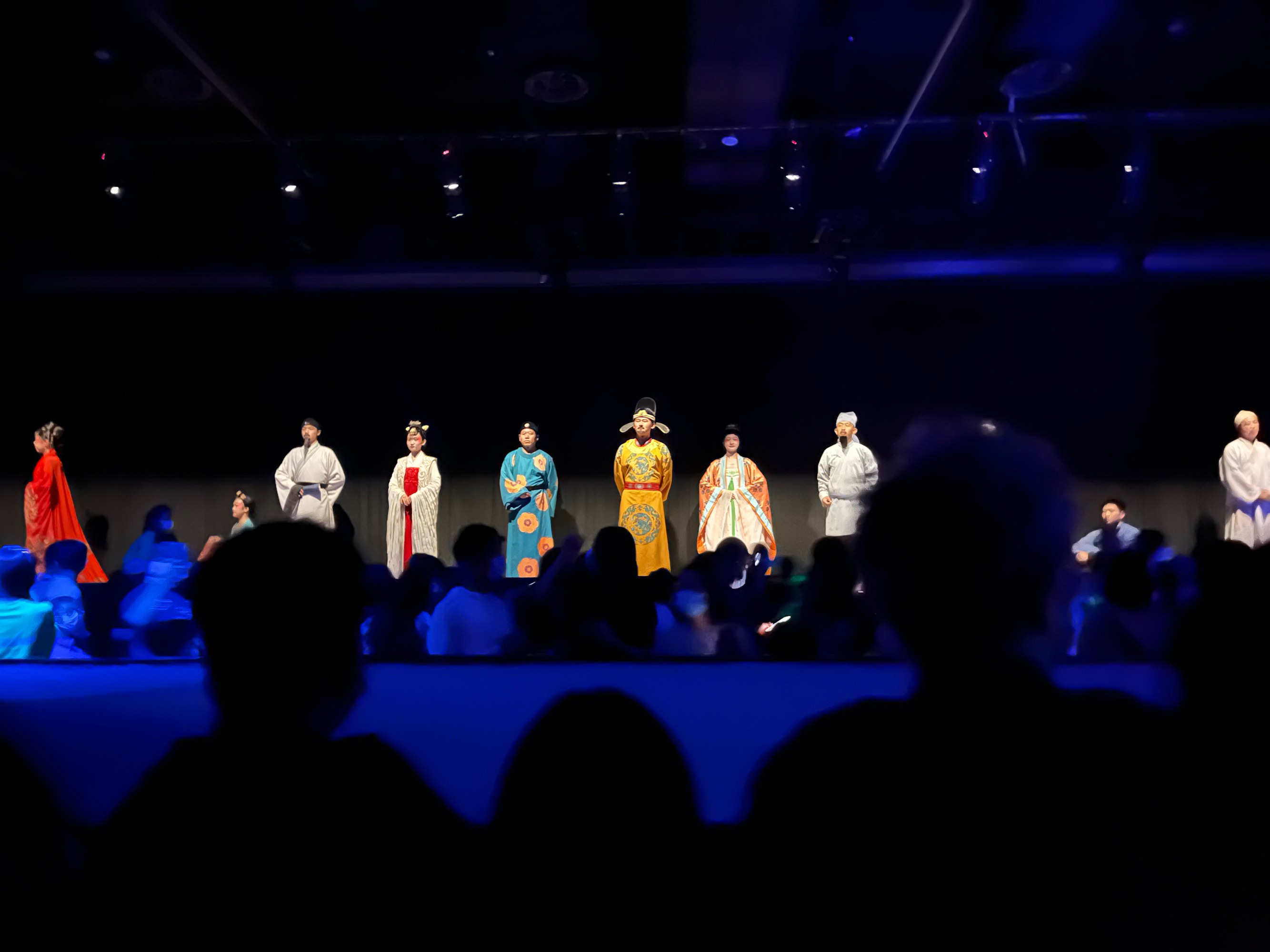
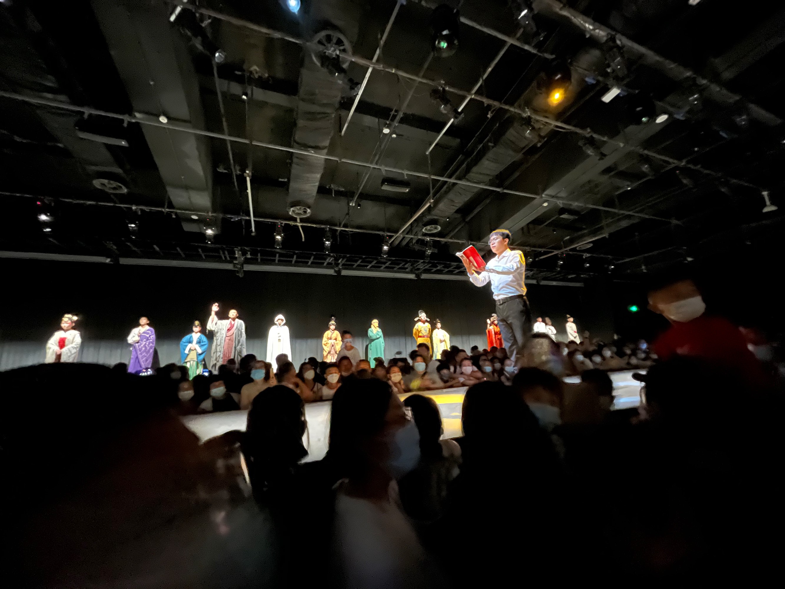
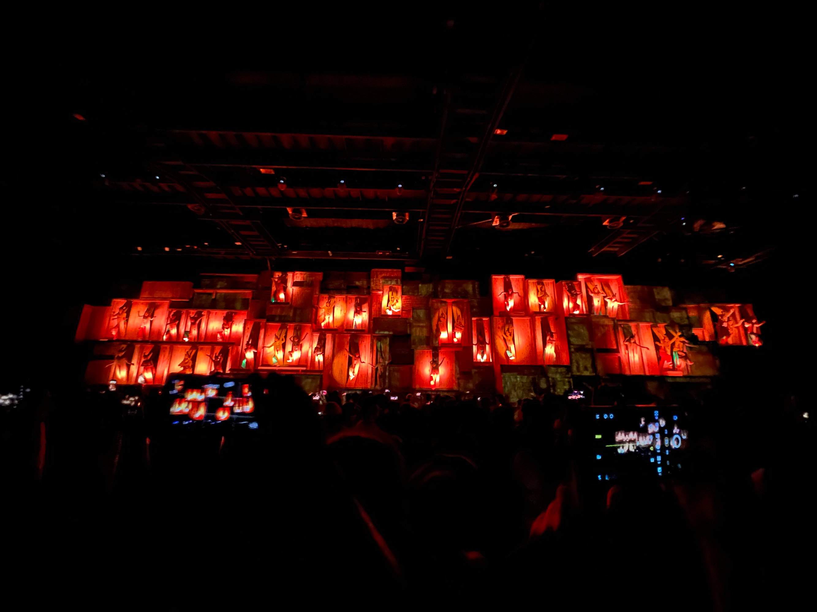
“Encore Dunhuang” Show
In the evening, we watched the “Encore Dunhuang” (unofficial introduction webpage) show. You can usually get tickets at a discounted price from the chartered car driver or local taxi drivers. (Dunhuang has three shows: “Silk Road Flower Rain,” “Encore Dunhuang,” and “Dunhuang Grand Ceremony.” You can find posts comparing these shows on Xiaohongshu, like this one, or this Zhihu question).
Translation from Xiaohongshu 🌸 Silk Road Flower Rain
Silk Road Flower Rain is an older show, having achieved success as early as 1989. Creating such a stage play at that time was definitely a rarity, and the media reviews were highly positive. The stage is mainly set in the Tang Dynasty, using the Silk Road and Dunhuang murals as inspiration. The story tells the tale of the joys and sorrows of Ying Niang and her father, the painter Shenbi Zhang, and it highly praises the long-standing friendship between the people of China and the Western Regions. Silk Road Flower Rain has been performed around 3,000 times, with over 4 million viewers, and is known as the “Swan Lake of the East.” It was also performed at the 2008 Beijing Olympics, the 60th National Day in 2009, and the 2010 World Expo.
Address: Dunhuang Grand Theatre, 2713 Wenbo East Road, Dunhuang City, Gansu Province
Transportation: It’s recommended to take the theatre’s shuttle bus. You can inquire about the specific waiting location and time when purchasing tickets. A taxi ride from downtown Dunhuang costs around 20 RMB. Show time: 8:30 PM, duration: 80 minutes.
🌸 Encore Dunhuang
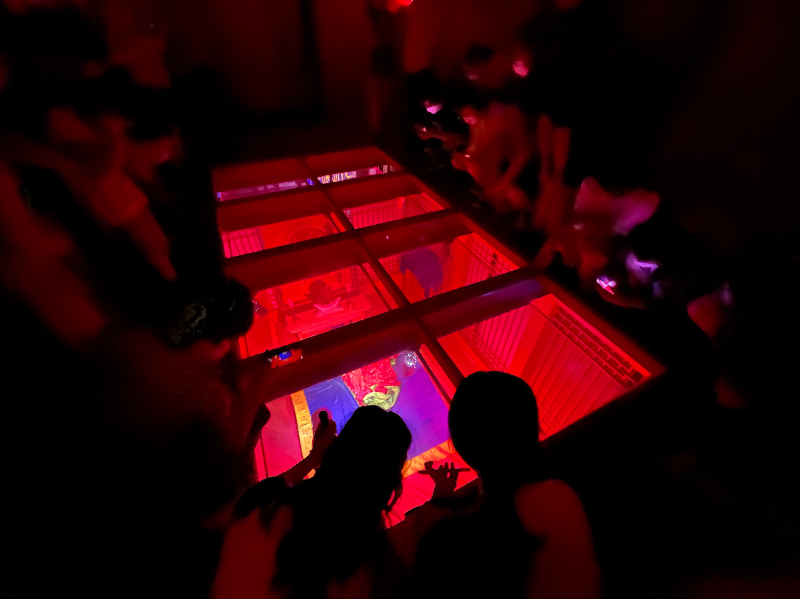
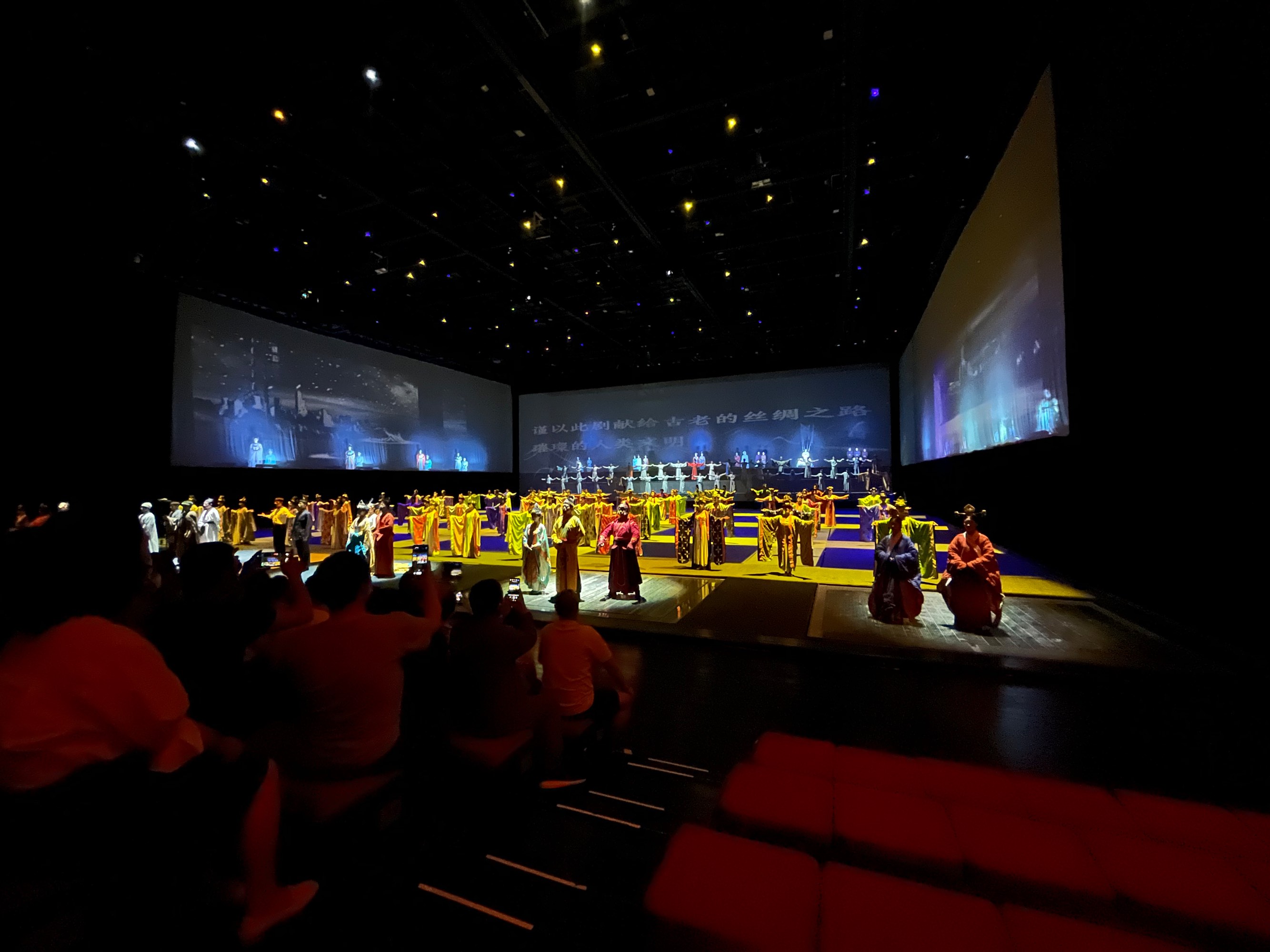
Encore Dunhuang is a relatively new show, having premiered in 2016. This show was born with a halo, heavily promoted with director Wang Chaoge as its selling point. The performance is divided into three different theatrical spaces that require moving around to watch, with each space representing a scene. The actors perform right next to the audience, creating a unique experience that allows visitors to understand Dunhuang culture.
The entire performance is based on real history, and both the performance style and viewing format enhance the audience’s appreciation and enjoyment.
Performance location: Encore Dunhuang Theatre, west of the Mogao Caves Digital Center
Duration: 90 minutes, 1 show per day during the off-season at 8 PM. During peak season, there are shows throughout the day, with a fixed show from 8:00 PM to 9:30 PM. Tickets are priced uniformly nationwide.
🌸 Dunhuang Grand Ceremony
Dunhuang Grand Ceremony is a live-action performance with love as its main theme, recreating the historical culture and customs of another major Dunhuang town through the actors’ performances. The show is divided into 6 chapters: “Prologue: Soul of the Desert,” Act 1 “Meditation: Mingsha Mountain,” Act 2 “Departure: Dunhuang City,” Act 3 “Love Bond: Mogao Caves,” Act 4 “Beauty: Crescent Moon Spring,” and “Epilogue: Dream Dunhuang.”
Dunhuang Grand Ceremony is performed outdoors and features impressive 3D lighting effects. The audience seats rotate 360 degrees and move back and forth, which is a rare stage setup these days.
Address: 200 meters inside Dunhuang Villa, Dunyue Road, 4 km from downtown Dunhuang.
🌛 So, how do you choose? ❓
First, there’s the ticket price difference. Encore Dunhuang has a novel stage format and a completely new setup. The ticket price difference compared to the other two shows is only a few dozen RMB. In terms of distance, all three shows are near scenic areas, so distance shouldn’t be a major concern. As for performance type, Silk Road Flower Rain is a pure stage play focusing on friendship and family, Encore Dunhuang showcases historical stories, while Dunhuang Grand Ceremony centers around a love story. It depends on your personal preference for the type of show.
—— https://www.xiaohongshu.com/discovery/item/606ee42e0000000001029e0a
“Encore Dunhuang” is a relatively new show (seemingly starting in 2016). The performance venue is located opposite the Mogao Caves Visitor Center. The novel aspect is that the show is divided into four acts, each using a different performance space. The audience stands below the stage and can move around freely as the plot unfolds. However, some of my friends found the dialogue a bit too sentimental, giving them goosebumps.
D7 Mogao Caves, Mingsha Mountain
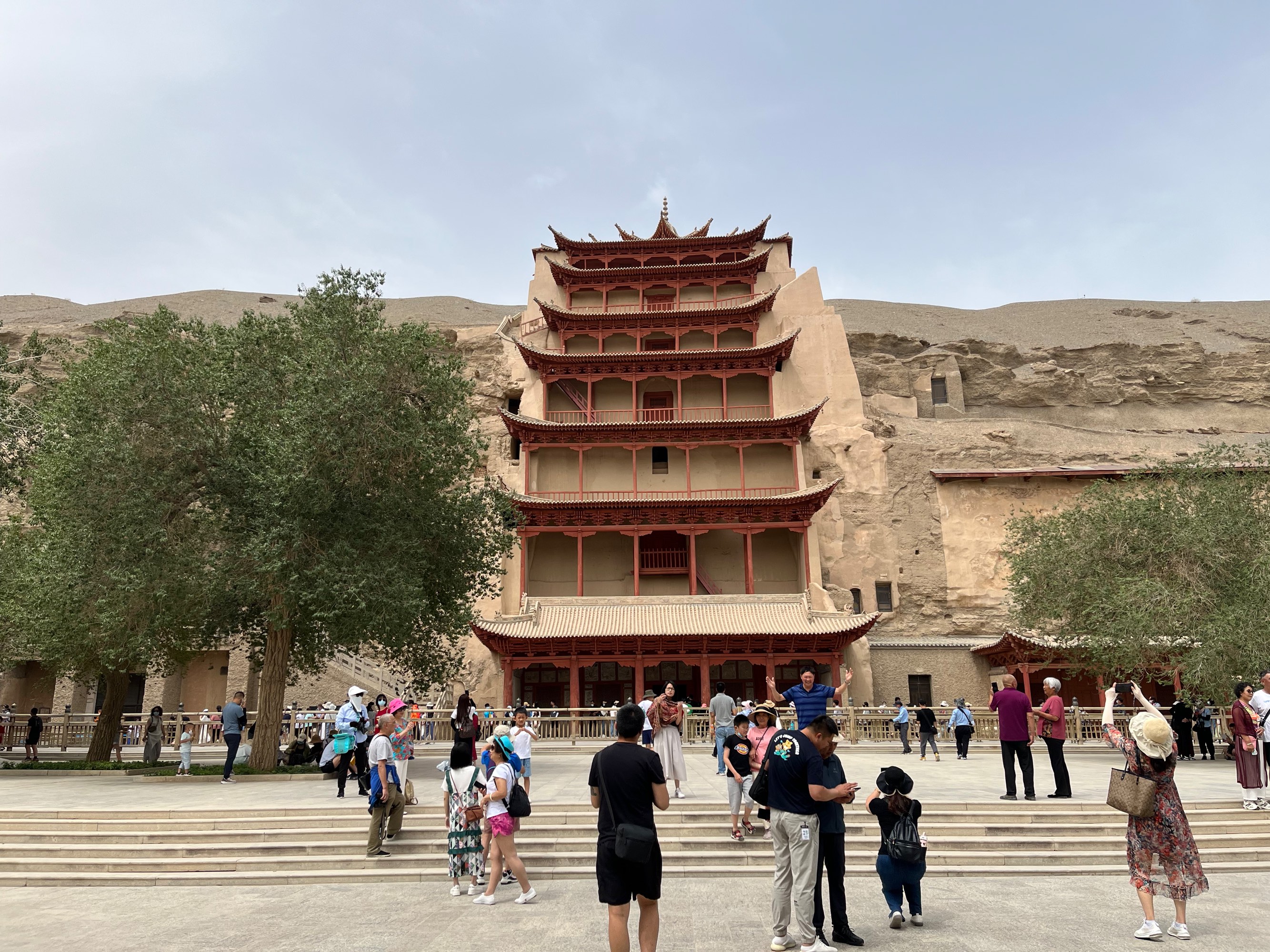
Mogao Caves
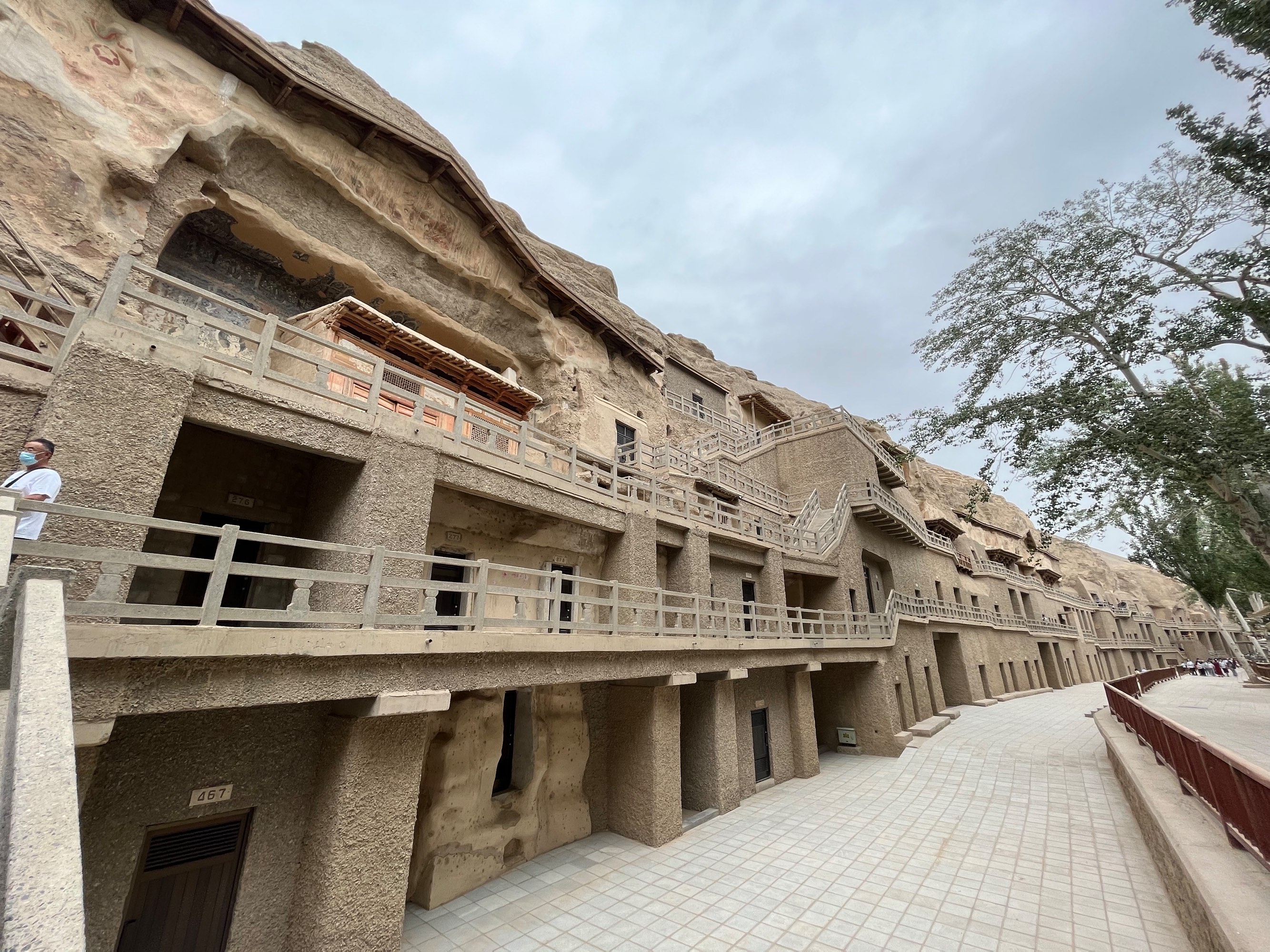
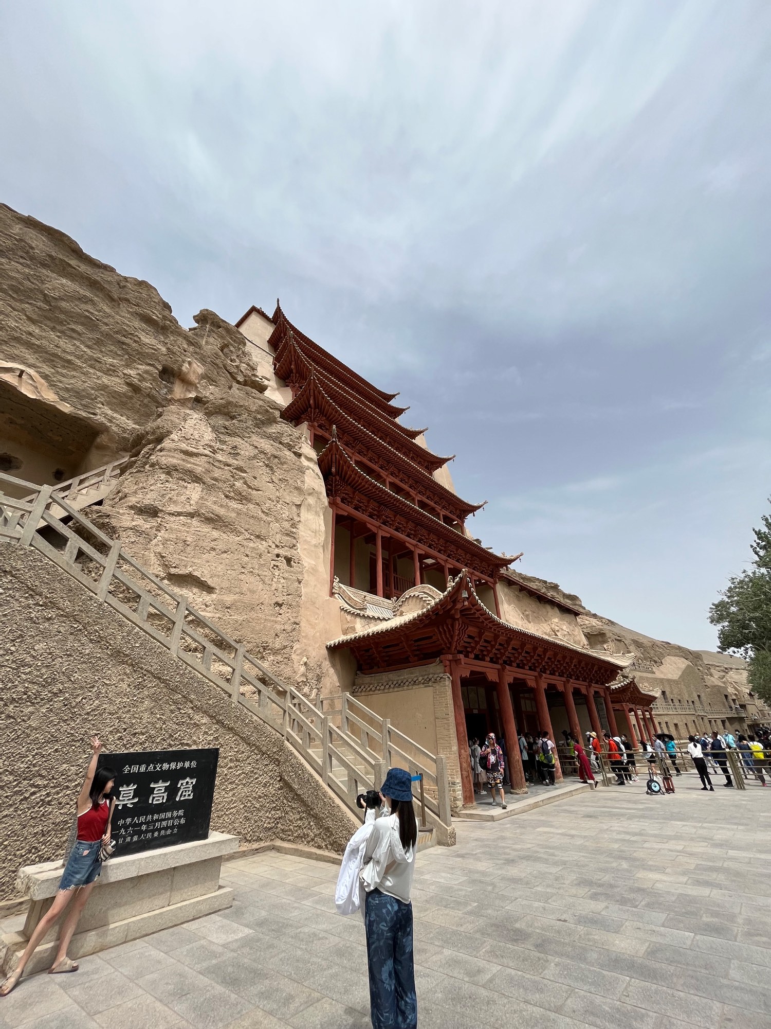
We visited the Mogao Caves on the morning and afternoon of D7. Upon entering the visitor center, tourists are first shown a regular film and a dome film. The regular film is a documentary about the history of the Mogao Caves, well-made but a bit dated, with aerial shots taken from a helicopter, resulting in shaky footage. The dome film is a guided tour of several caves based on 3D scanned models of the Mogao Caves.
After watching the films, a bus took us to the interior of the scenic area. Photography is not allowed inside the Mogao Caves, so the photos below are all exterior views of the cliffs. (You can view the interior scenes on the “Digital Dunhuang” website developed by the Mogao Caves’ official management.)
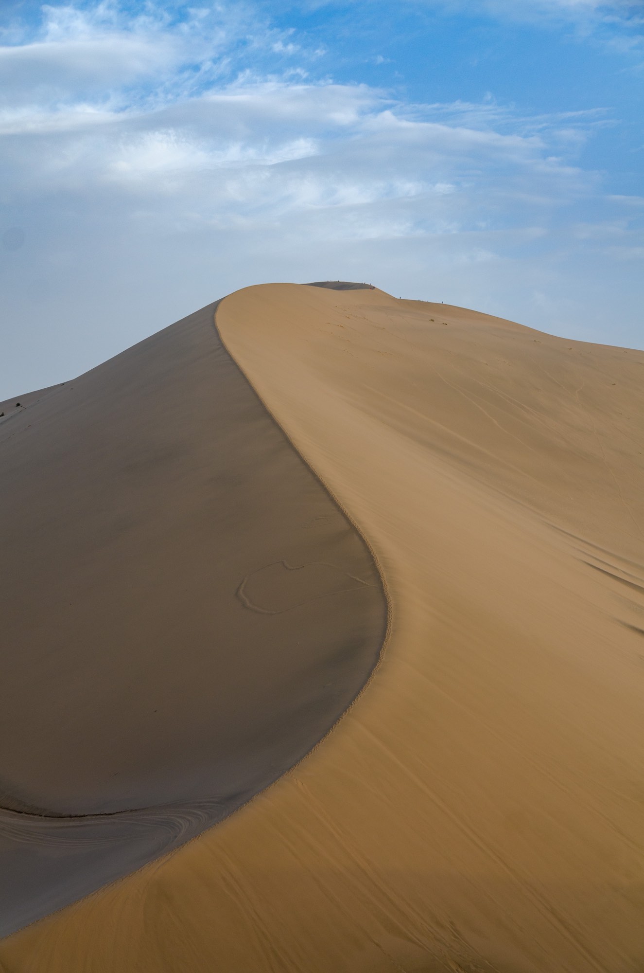
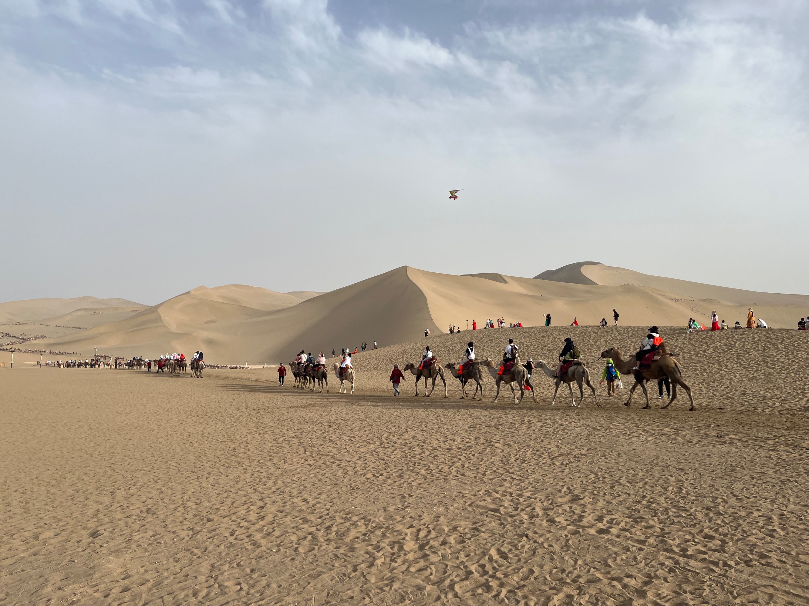
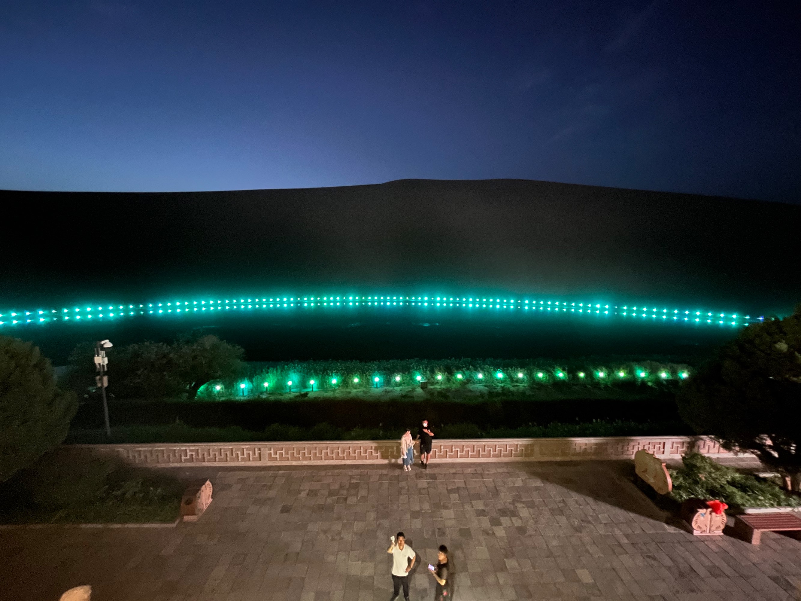
Mingsha Mountain and Crescent Moon Spring
Mingsha Mountain and Crescent Moon Spring are located within the same scenic area. The management has installed wooden ladders on Mingsha Mountain, allowing visitors to climb up (you can also climb by stepping on the sand, but it’s very tiring). If you go in the afternoon, you can watch the sunset from the top.
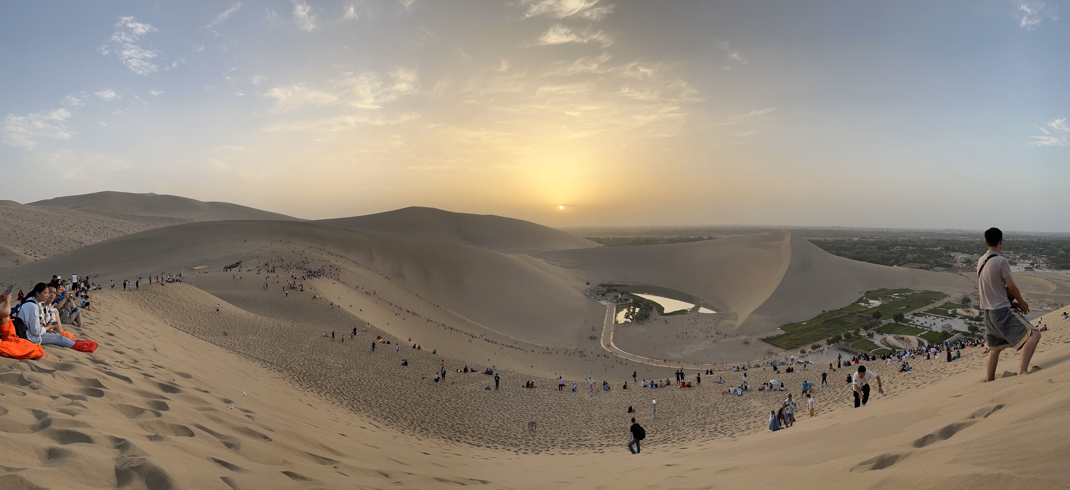
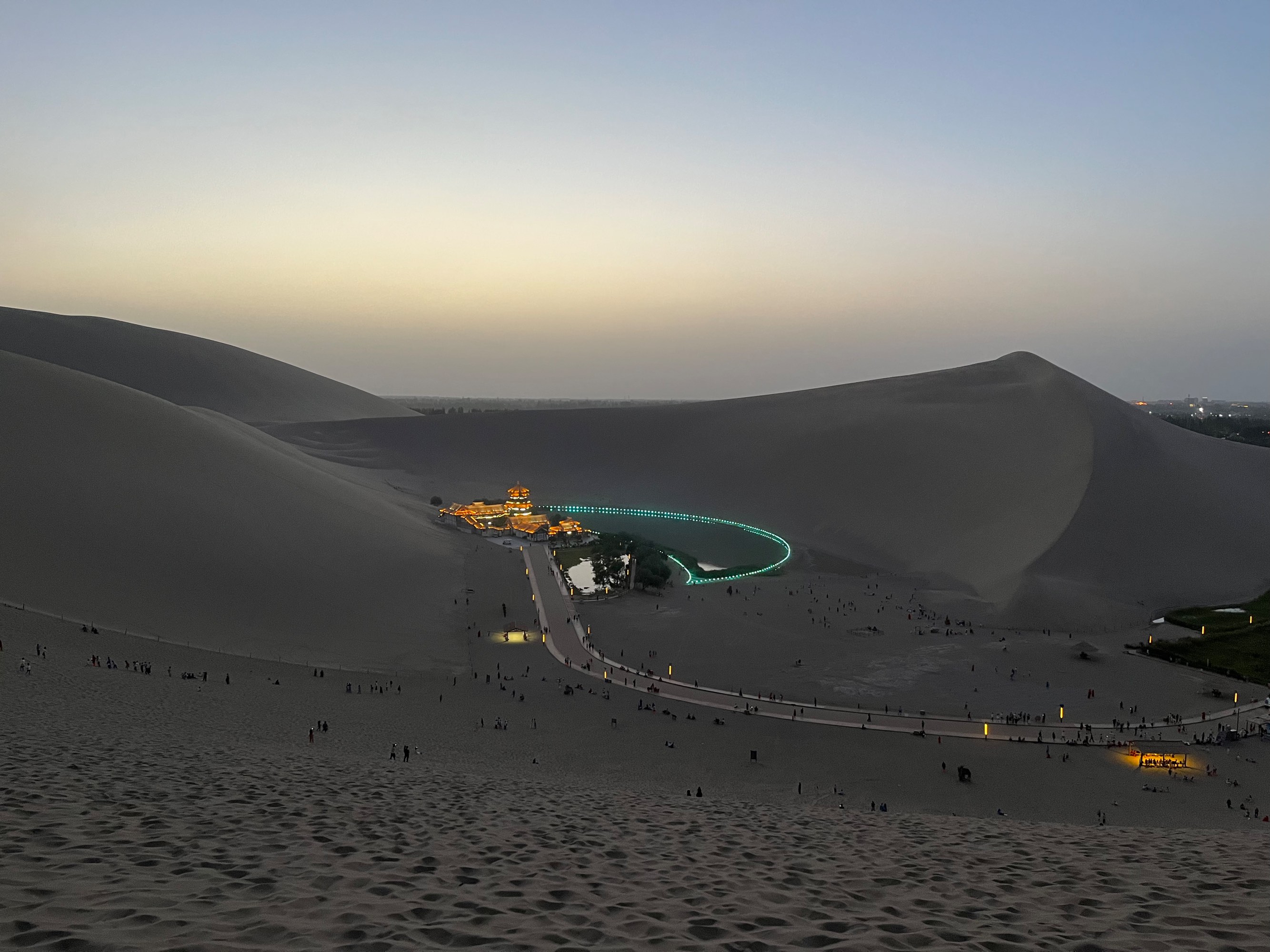
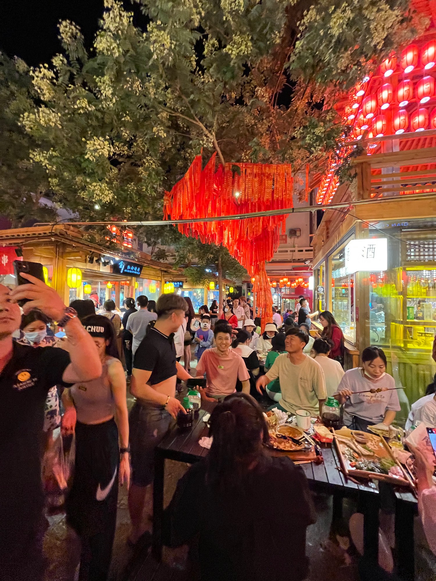
It was almost 10 PM by the time we descended the mountain. We also visited the Shazhou Night Market at 11 PM, and it seemed to have recovered quite well in terms of visitor traffic.
D8 Zhangye, Rainbow Mountains
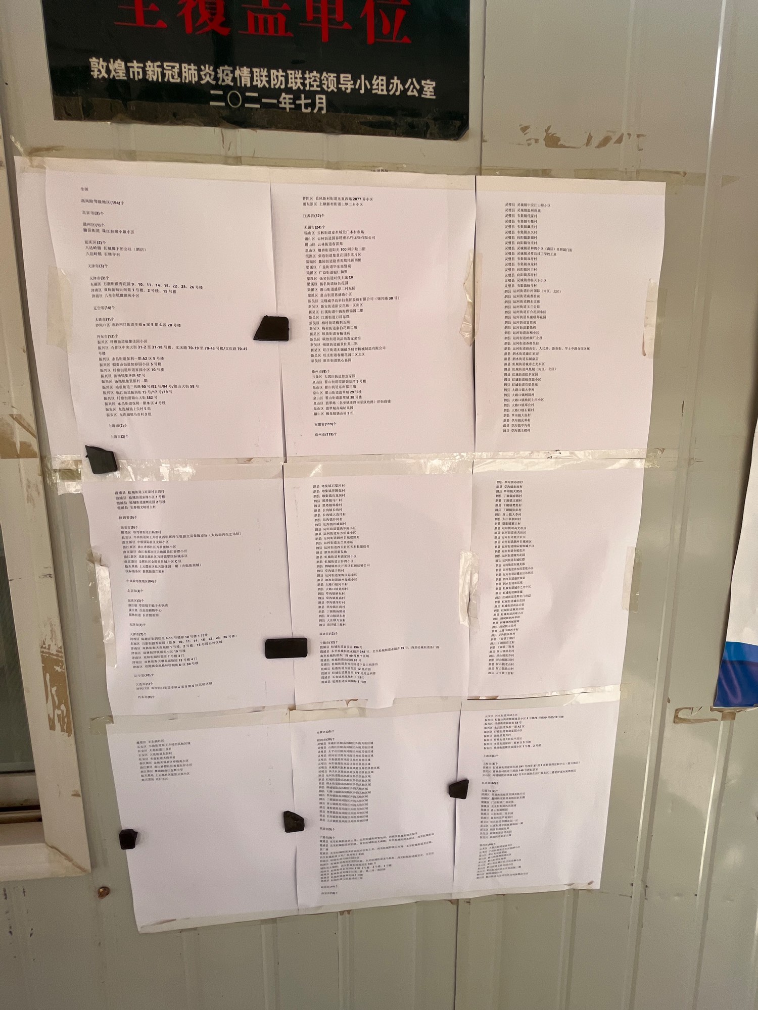
We started our return journey through Gansu on D8. With the continuous increase in cases in Lanzhou, epidemic prevention inspections along the way also became stricter. We were required to undergo a nucleic acid test upon leaving Jiuquan and had to show our travel itinerary and health code at every city border.
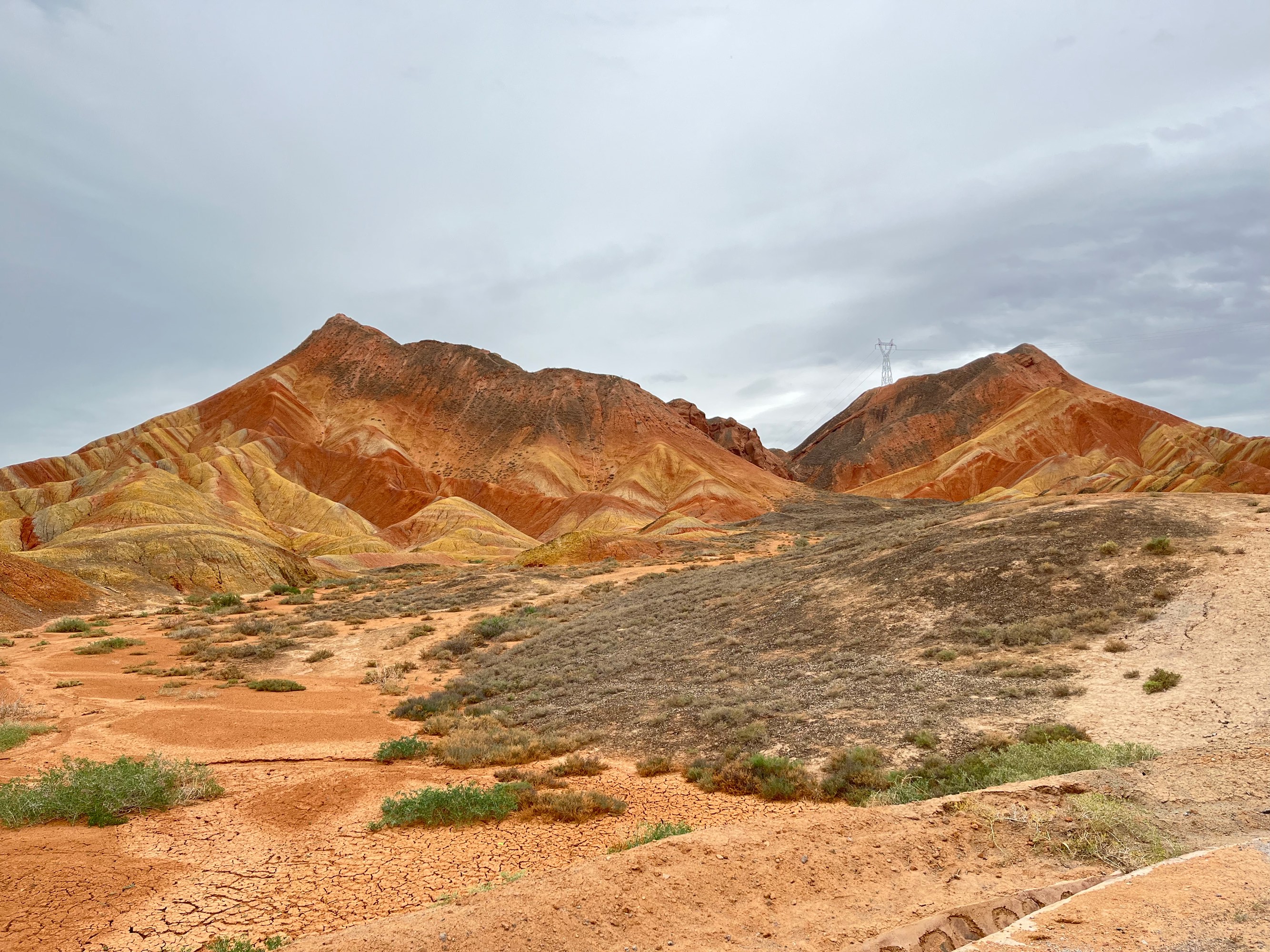
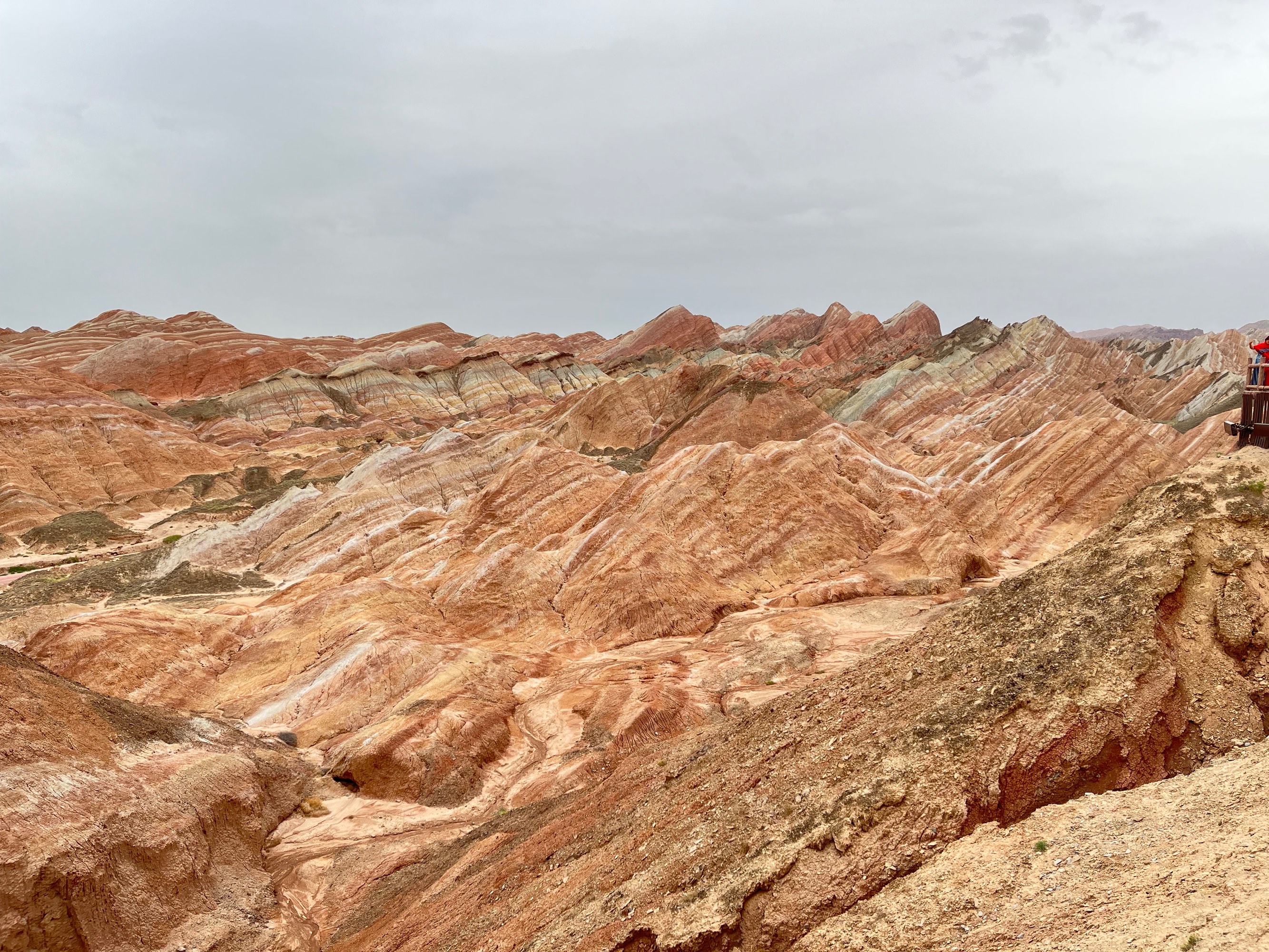
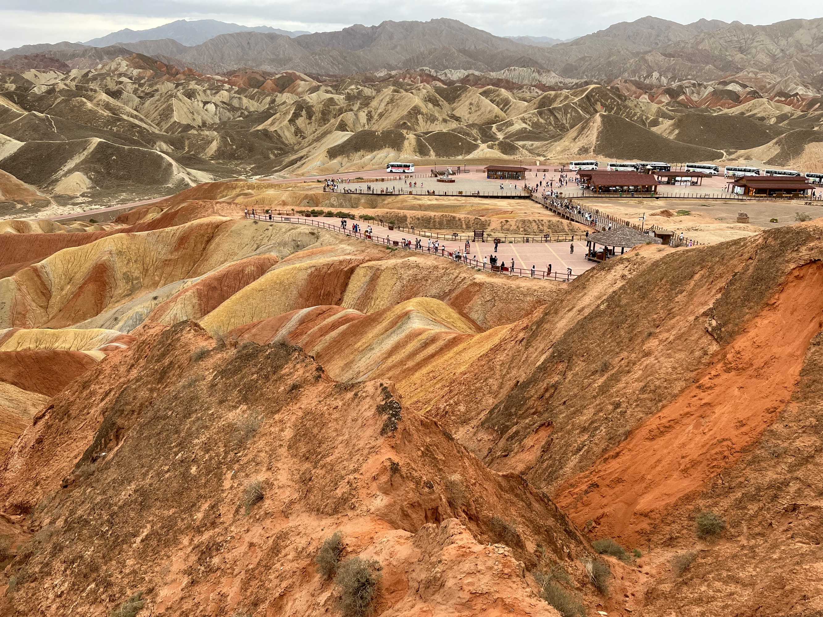
Rainbow Mountains
The Rainbow Mountains are a group of Danxia landforms. Due to the different colors of the strata, they display a “rainbow” of colors under sunlight. Unfortunately, there was no sun when we visited, so the photos turned out rather bland.
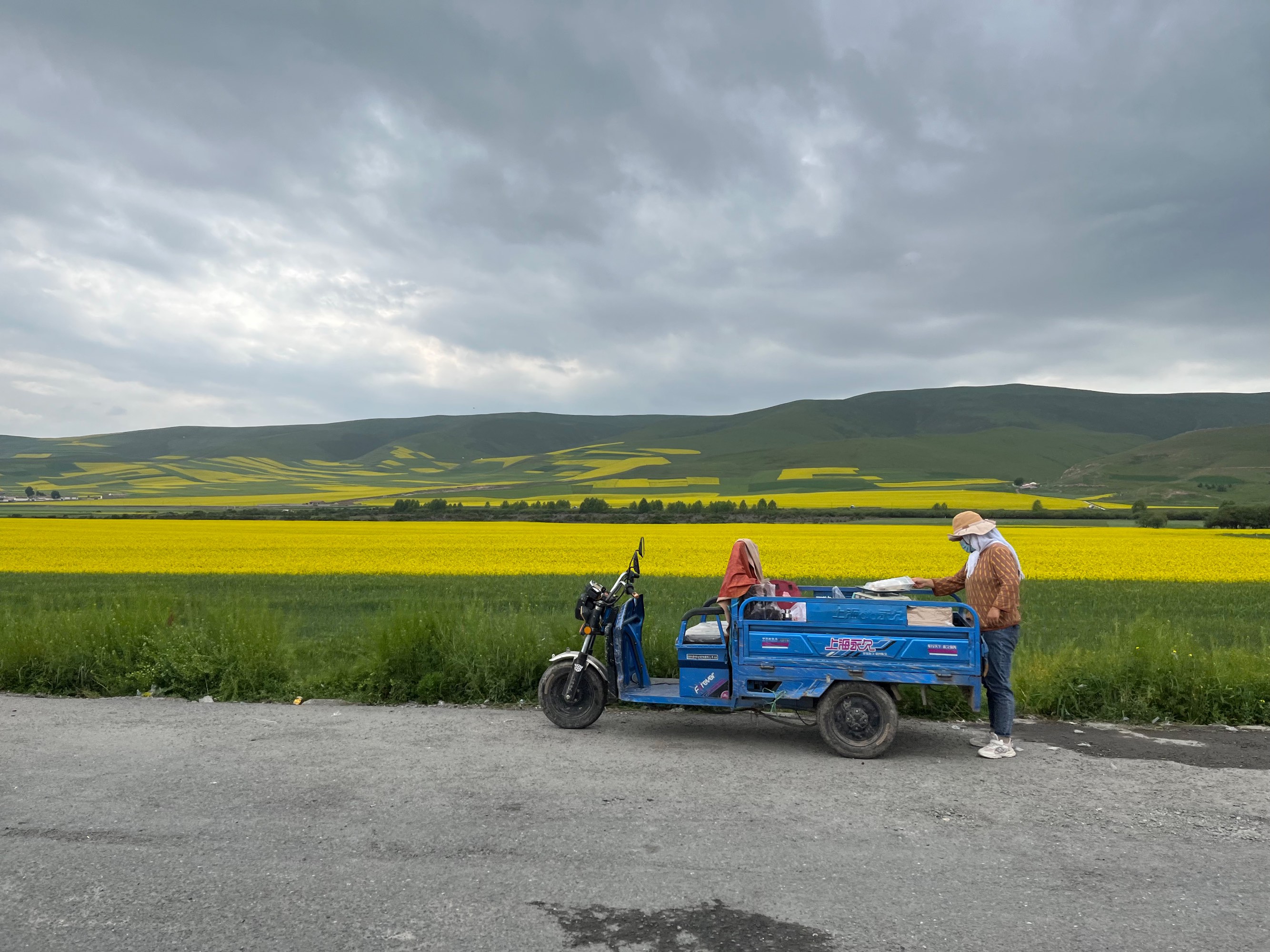
D9 Menyuan Rapeseed Flowers, Qilian Mountains, Return to Xining Airport
D9 was also on our way back to Xining. We passed through Menyuan, where there were some rapeseed flower fields to see:

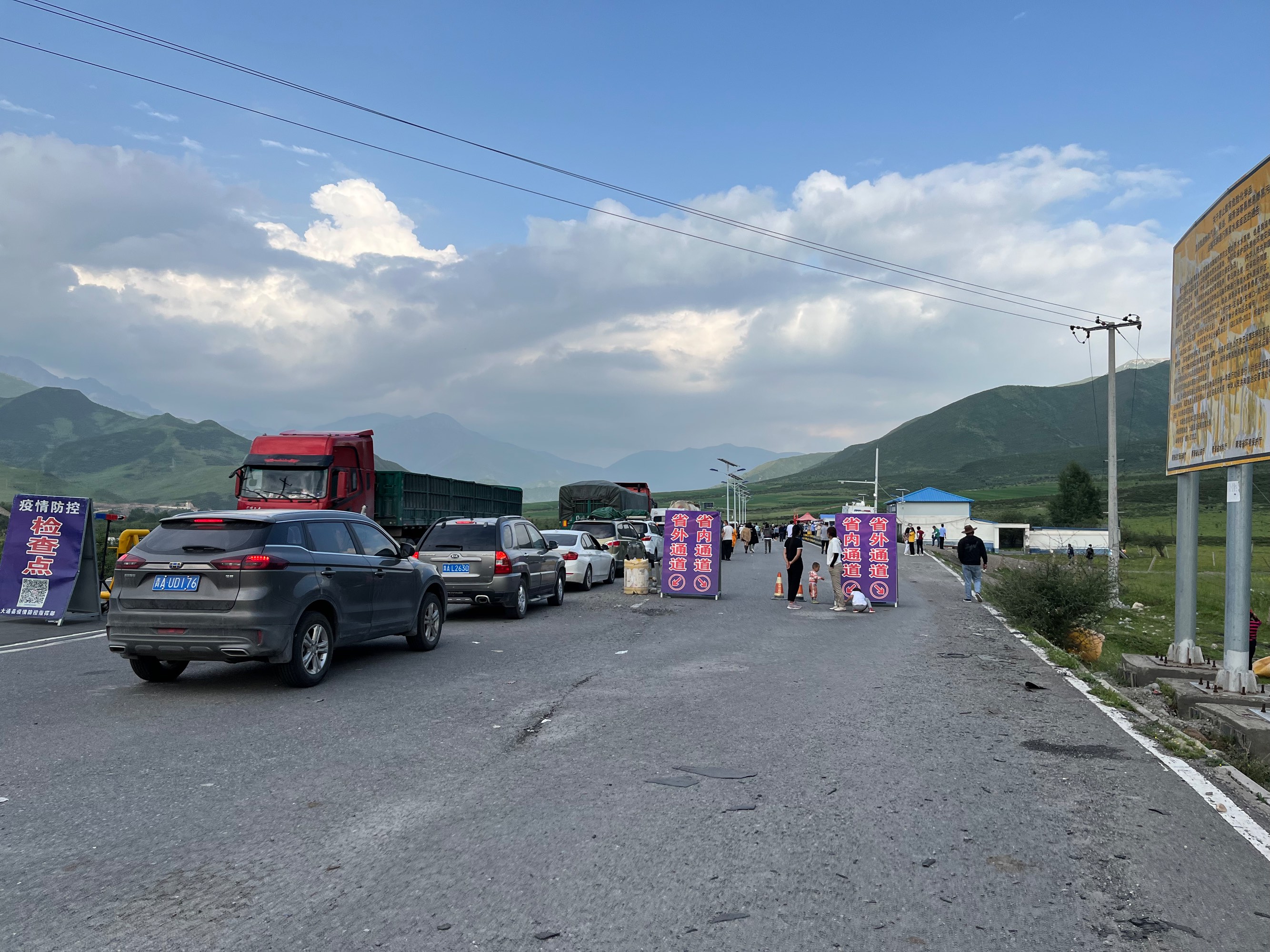
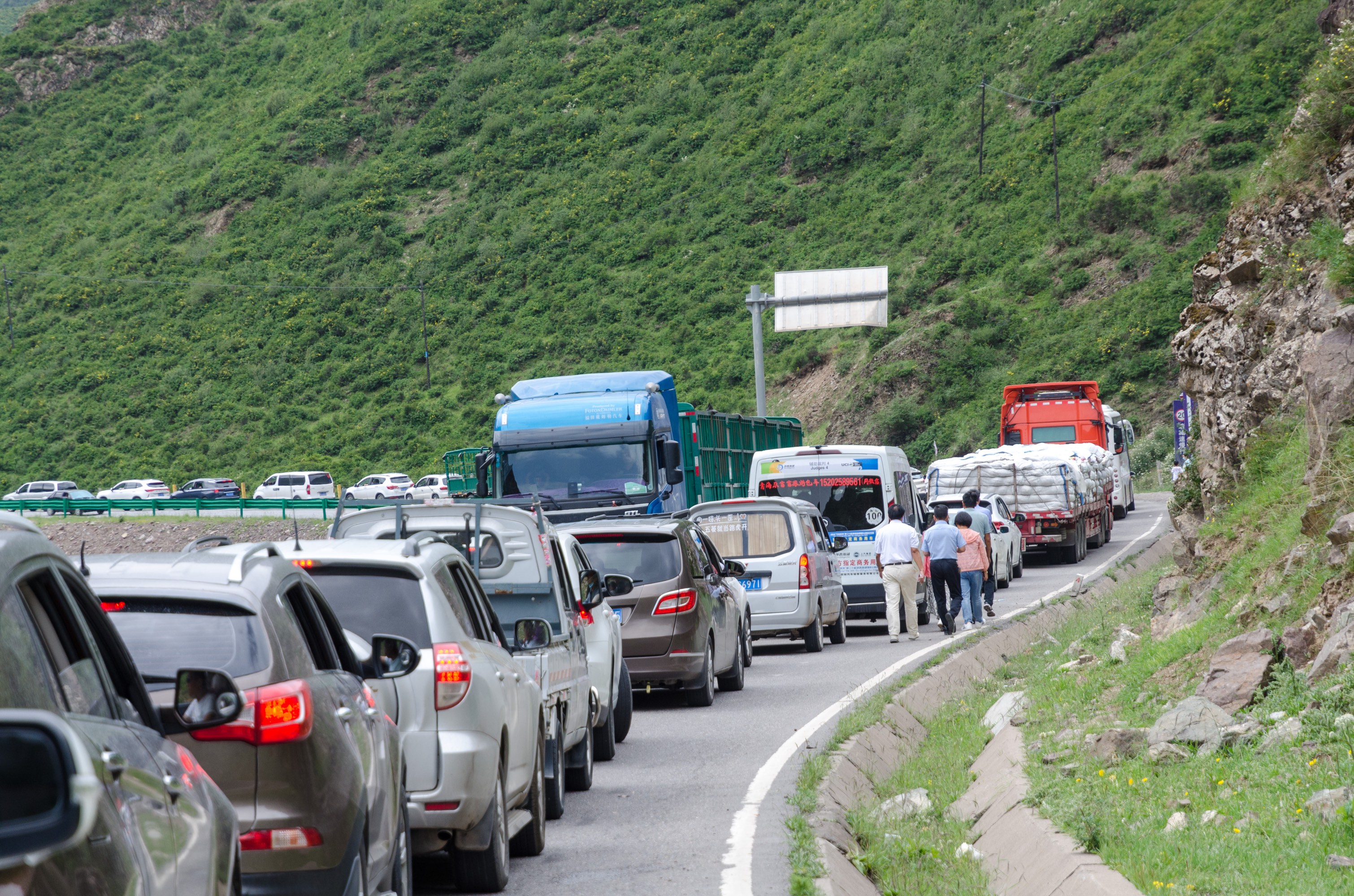
Epidemic Prevention Checkpoint at the Provincial Border
Finally, at the provincial border between Gansu and Qinghai, the Gansu side had set up two checkpoints, one for checking health codes and the other for nucleic acid testing. Since the checkpoints were directly on the road with insufficient parking space on the side, we waited in line for an hour at each checkpoint. By the time we arrived at the hotel near Xining Airport, it was already around 10 PM. Our seven-day chartered car journey had come to an end.
Afterword
During the trip, I noticed that there were significantly fewer tourists compared to my previous visit to Northwest China a few years ago. I asked many locals about this year’s tourist flow (including but not limited to taxi drivers in Xining and Dunhuang, the chartered car driver, the tour guide at Ta’er Temple, and restaurant owners). It seems that the seemingly strict control policies have become a major obstacle for inter-provincial travel. Additionally, regarding policies, despite the State Council’s “Nine Prohibitions,” we still encountered situations along the way where we were required to take a nucleic acid test before proceeding, and inter-provincial tests were not recognized, among other “excessive measures.” I hope that next year these situations won’t occur anymore, and we can plan our travels freely without being affected by such sudden policy changes.
Disclaimer
This article is part of a personal travel blog and is not intended to promote any scenic spots or travel agencies. The author does not receive any benefits from the scenic spots or travel agencies mentioned in the article. The article is based on the author’s personal experience and is for reference only. The author does not guarantee the accuracy, completeness, or timeliness of the content. Please refer to the official website or official account of the scenic spot for the latest information.
